Visited August 2015
U.S. Route 395 is a highway that connects central and eastern California, Oregon, and Washington. From Southern California, the road is the gateway to the eastern Sierra Nevada mountains and one of the principle routes to Lake Tahoe. Which—on this particular trip—was our primary destination. However, a year earlier I took the 395 to Lone Pine, to rescue my friend TJ when he killed his commuter car off-roading to a trailhead. During my day with him, I became aquatinted with how beautiful the eastern Sierras were and how many interesting stops were dotted along the 395.
So, knowing the goal was Lake Tahoe, we made an effort to stop at a couple of neat points of interest along the way. We left our home in Los Angeles and booked it up the I-14 until reaching the 395, in Inyokern. With no TJ to rescue on this trip, we skipped through Lone Pine and continued north. One hundred miles later, we paused our journey in Mammoth Lakes.
Known for the gorgeous chalet lined thoroughfare Jahan Dr. (or more famously the Mammoth Mountain Ski Area), Mammoth Lakes is a beautiful ski town in the eastern Sierra Nevadas. While I’ve never been a winter sports guy, I immediately connected with the mega-alpine village feel of the place. We wound our way past homes, vacation homes, and resort hotels before stopping at the Mammoth Mountain Adventure Center.

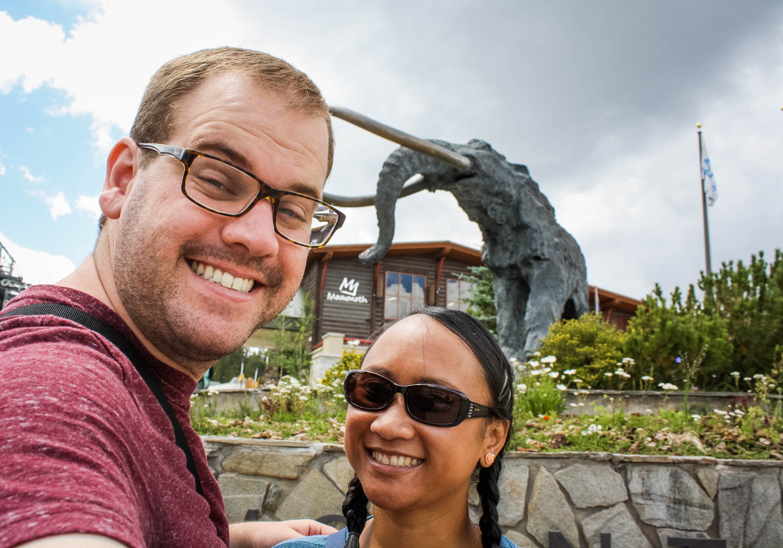
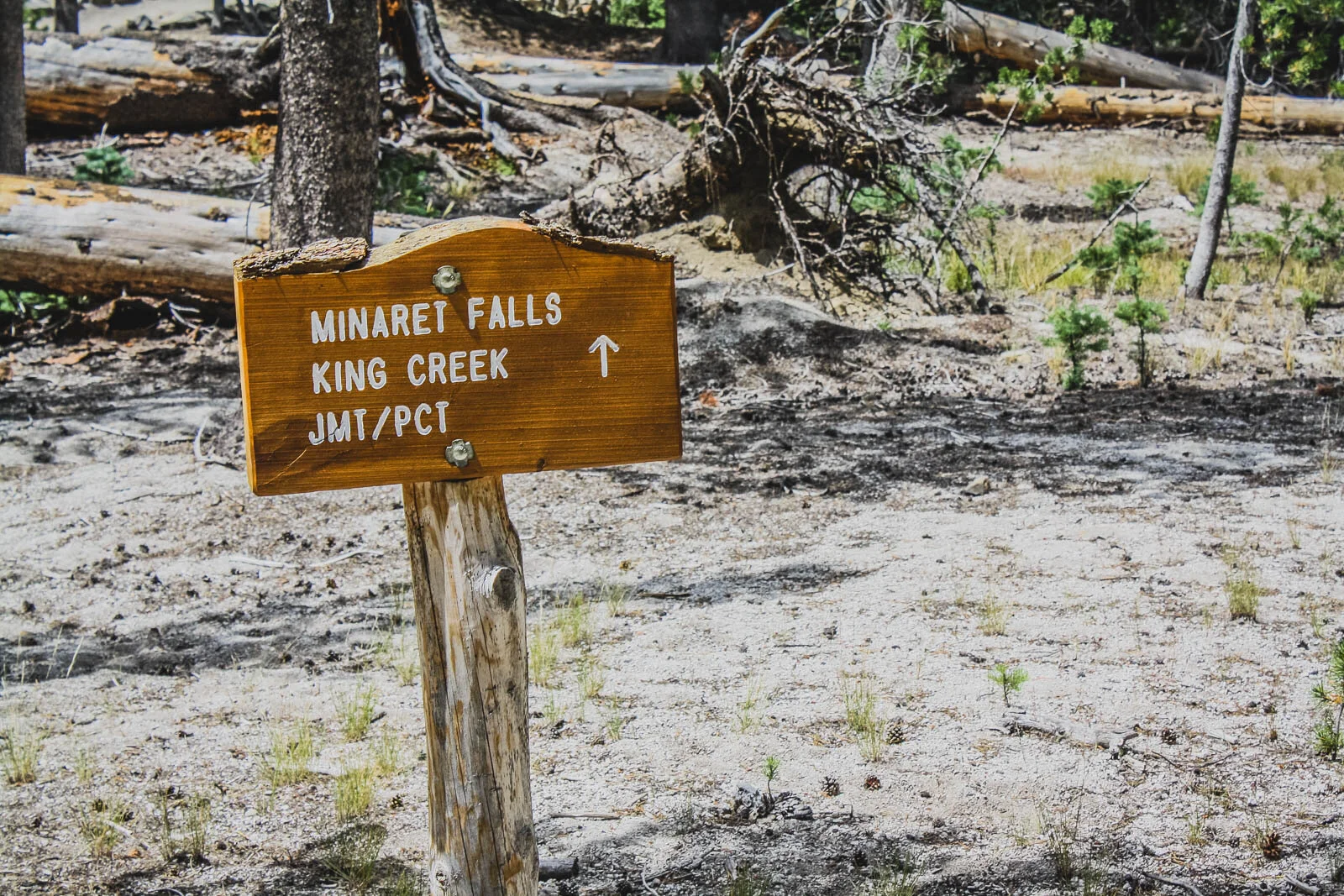
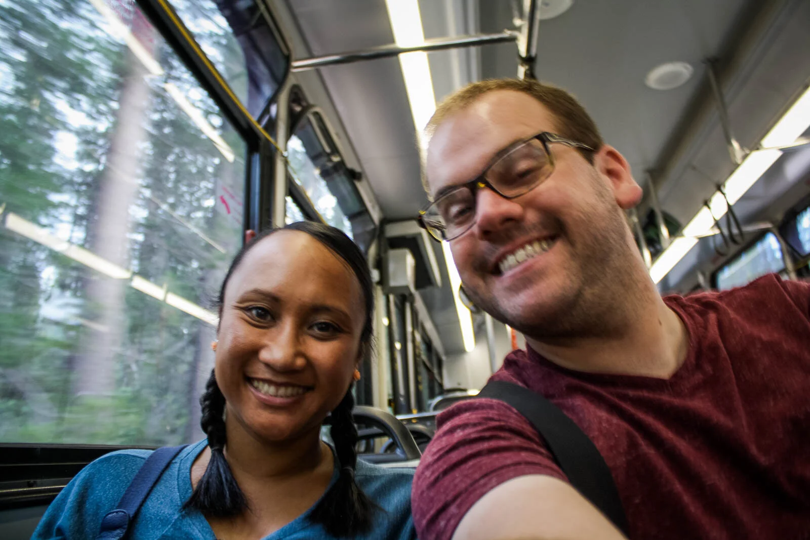
The Adventure Center is home to a bunch of fun-looking summer activities, like biking, climbing, or gondola rides to the top of Mammoth Mountain, but we got in line for the least-exciting thing—a shuttle bus. But it would be worth it. From the Mammoth Mountain Adventure Center, the bus took us over and past the Minaret Vista and then meandered down a windy mountain road. Soon enough, we were at the bottom. We disembarked and made our way down a trail to the first stop of the day—the Devils Postpile National Monument.
(By the way, for you grammar people, the name “Devils” is spelled without the possessive apostrophe for some reason.)

Devils Postpile primarily refers to a craggy cliff face of columnar basalt, or polygonal-shaped columns of rock, stacked like stone licorice in a jar. The striking rock formation is the result of thick lava rapidly cooling. As the lava solidifies, the temperature change builds contraction forces that create fractures in the rock. #science Perhaps you’ve seen photos of similar rock formations along the sea in Ireland, or along canyons and waterfalls in Iceland.
Here, at the Devils Postpile, the columns are bound along a cliff face, exposed and polished by glacial activity long ago. At the base of the cliff is, well, a postpile—a graveyard of chipped column pieces. My favorite feature is the unique northern edge of the cliff, where the columns bend and merge. Cut off at the bottom, the whole edge looks like a giant, ancient downed tree.
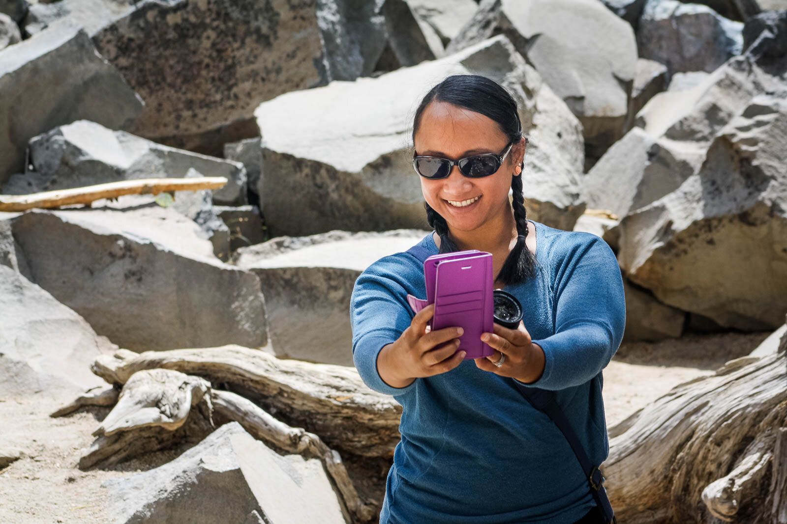
Naturally, we did what any good tourist would do and grabbed a million photos of these rocks.


Etched into each side of the columns, a trail was laid to take you to the top of the cliff. From up there, you can get a unique, top-side view of the polygonal rock shapes. You can also get a brilliant view of the rest of the small, mountain valley that makes up Devils Postpile National Monument.


Devils Postpile National Monument also features a pair of waterfalls, called Rainbow Falls, but we didn’t hike up to them. Six years later, and I honesty can’t remember why we didn’t. It was probably already mid-day, and we had another stop planned for the journey. Either way, I regret it and hope I can visit again some day.
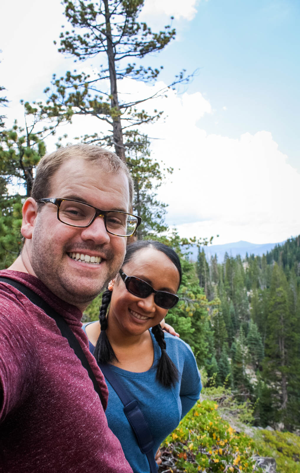
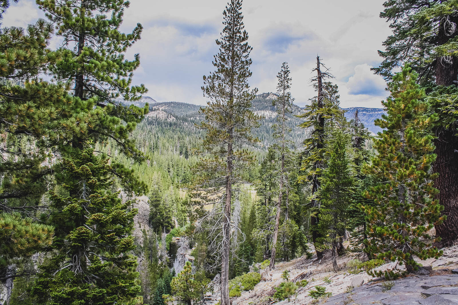
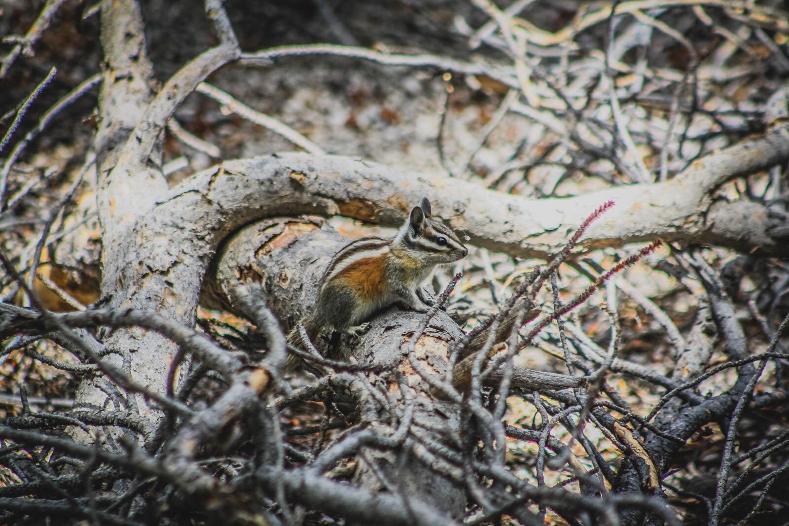
Still, that doesn’t mean we didn’t enjoy the Monument, or get our fair share of it. I absolutely adored the vista. And we even got to see quite a few forrest critters.


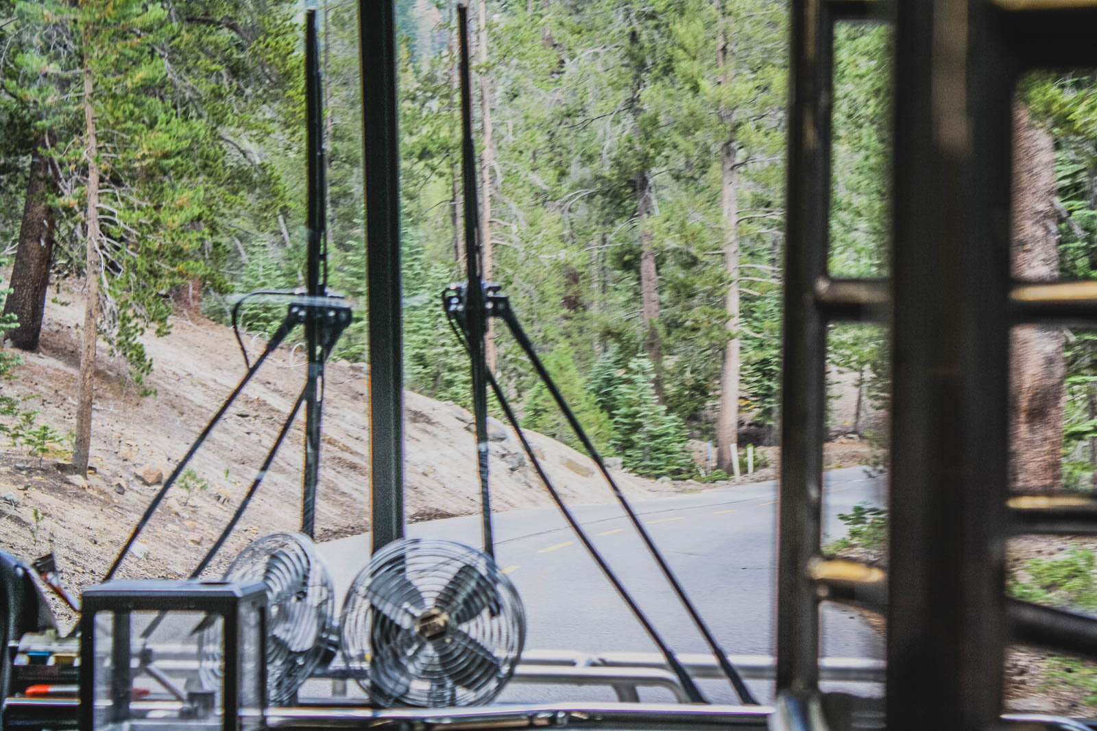
We returned to the shuttle bus pickup. The return ride was much less crowded and were were offered a tremendous view of the Sierras rolling towards Yosemite National Park. If the drive down was a bit nerve-wrecking, the drive up was even more so. Sitting up so high, we often couldn’t see the road beneath us. To our right, the mountain dropped away and it was hard to avoid thoughts of the bus tumbling down the ridge—it was best to keep our eyes on the gorgeous horizon.

Back up top, we grabbed a quick, fast-food lunch and hit the road again. Further proof that I probably thought we were running behind is that we didn’t stop at Mammoth Brewing Company. I’ve had several of their beers (including their appropriate-for-this-post brew IPA 395) and have always enjoyed them. But alas, we had 60 more miles to hit before our next stop. We breezed past the ancient, saline Mono Lake and veered off the highway at State Route 270.
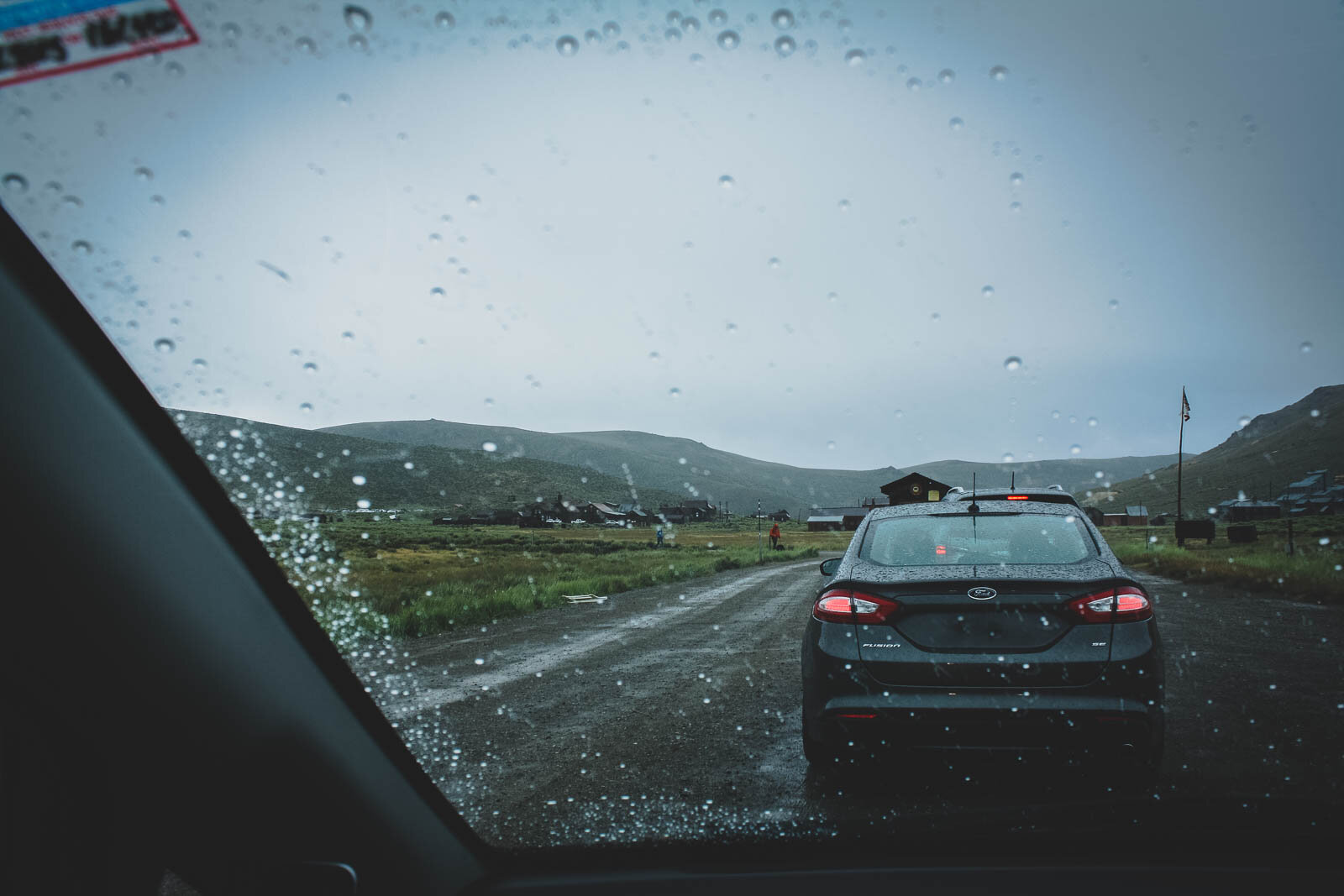
Ten miles in, the paved road turned to dirt. My little Honda Fit was hardly equipped for the muddy venture, but I pressed on for the final three miles until we arrived at our next stop. After a short queue of vehicles, we paid for admission and were soon inside Bodie State Historic Park.


Bodie is a genuine ghost town on the very eastern edge of California. My Wikipedia quick-notes on Bodie’s history is that the town started as a mining camp in 1859, anchored only by a few prospectors. But eventually, the Standard Company would find a decent vein of gold ore and within 20 years, Bodie had a a population of 7,000-10,000 people and ~2,000 buildings. But as things went with mining towns, prospectors quickly moved on to other booms. By 1890, the town was home to less than 1,000 people (mainly families who chose to stay). A few hundred people remained until the last mine closed in 1942. That year, the post office would close and the town was essentially done.
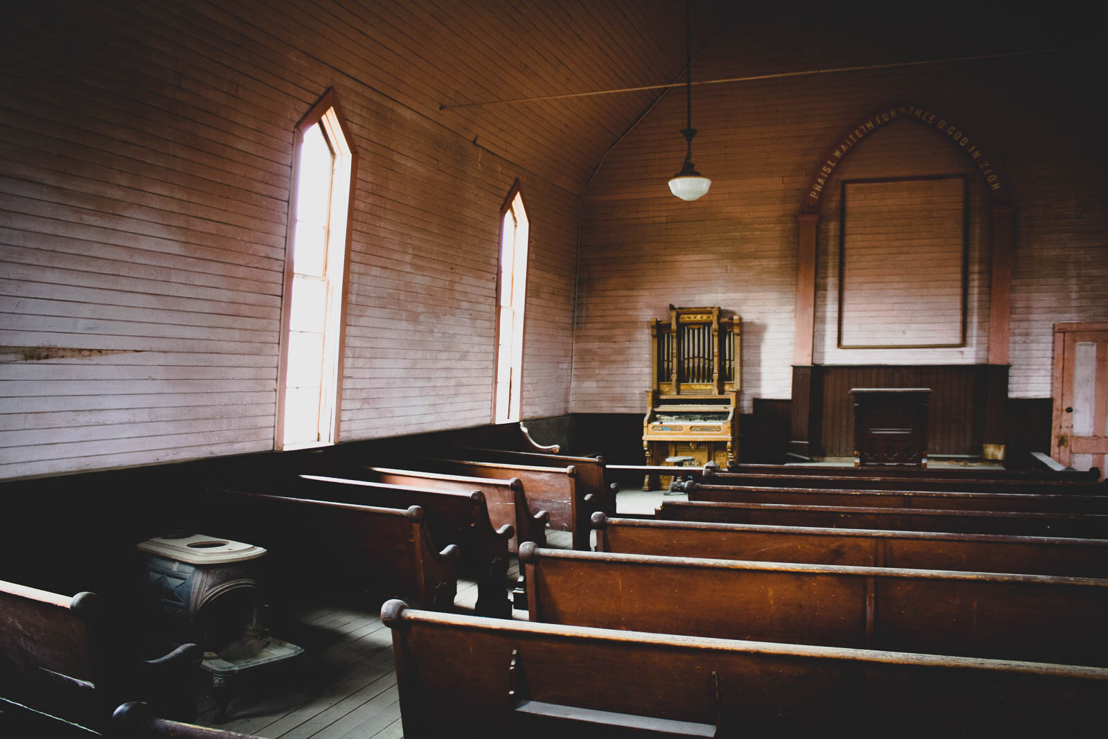
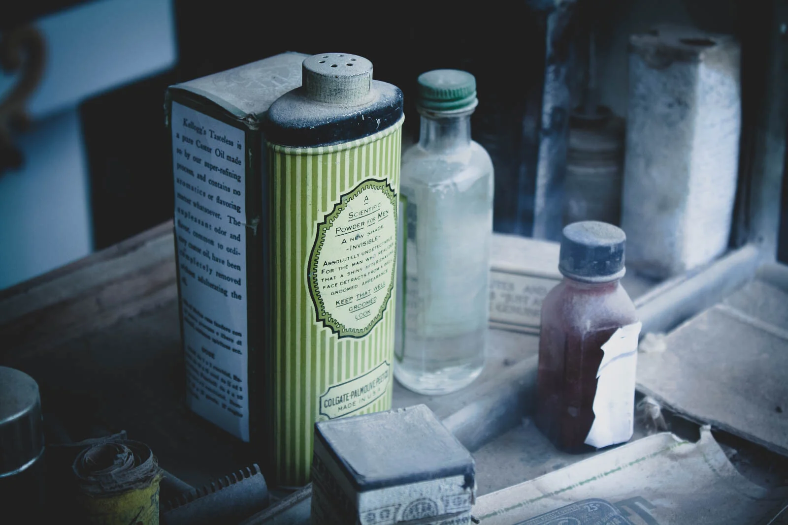
Today, Bodie is a California State Park, preserved in a state of “arrested decay”. Visitors can roam the town’s streets and peer through building windows into the past. The park manages to compress the first-half of California’s American history into one town-wide museum. There are spaces that appear absolutely “old gold rush town” and then other spaces, like the gas station, that don’t feel so distant.


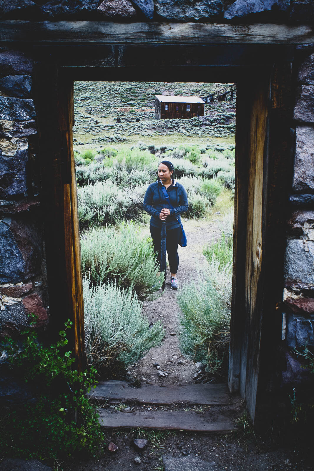
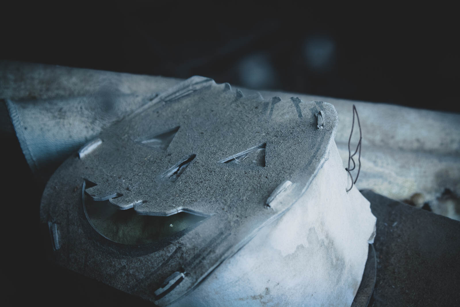
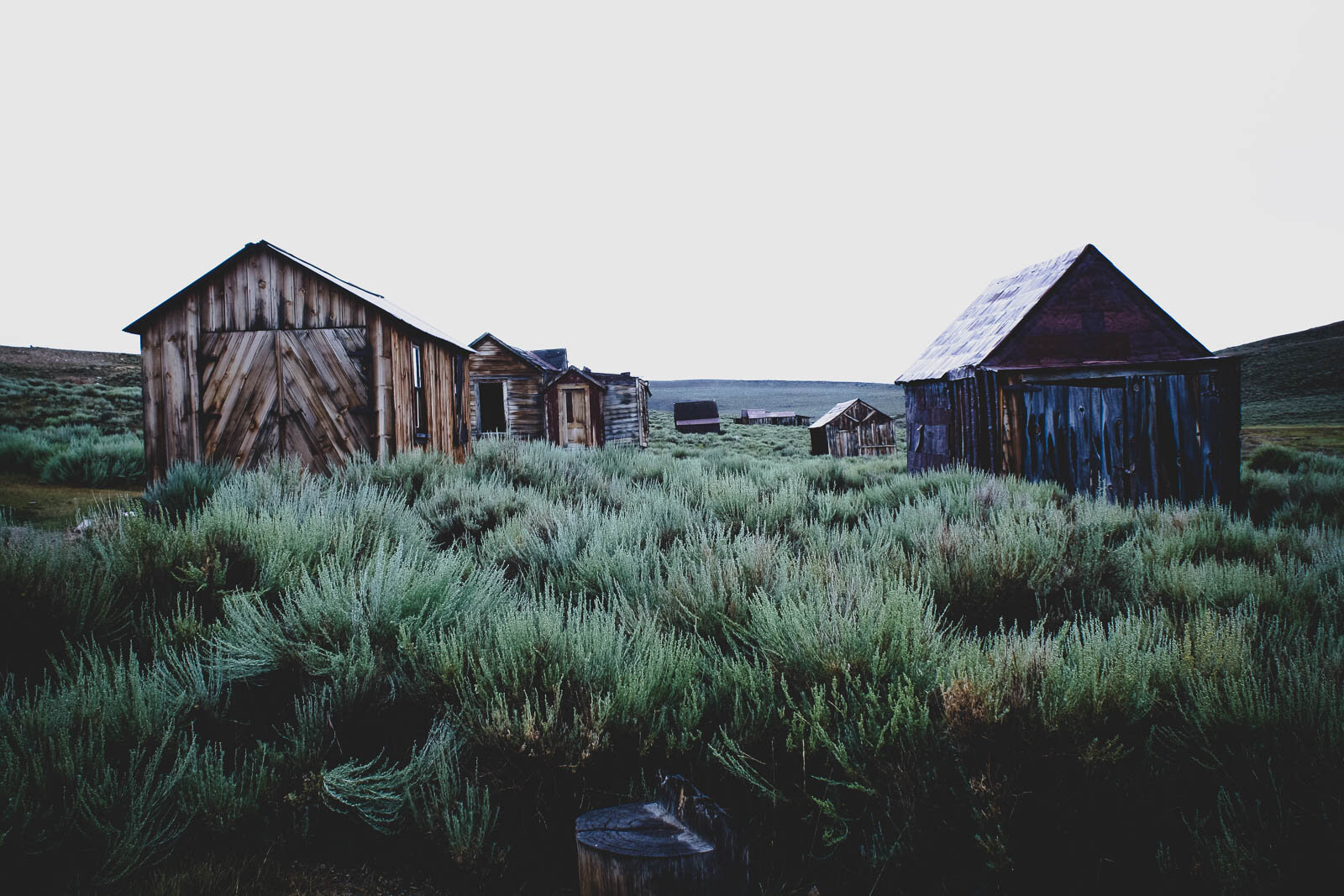
Over the years, the town has been taxed by the elements, including “howling winds”, snow, and fire. Some of the buildings are in pretty good shape, while others are leaning, exposed, or in ruins. But what is most fascinating is that, when you peer through the buildings’ windows, time appears to be frozen. It seems as though everyone just left. The buildings remain stocked with fixtures, furniture, and their original props and goods. The school still features desks, the teacher’s yard stick, and the day’s lesson plans while the general store is still stocked with its inventory. Evidence to the decades the town lived through, appliances ran the gamut from iron, wood-burning stoves to a radio console. And everything is covered in a fine layer of dust.


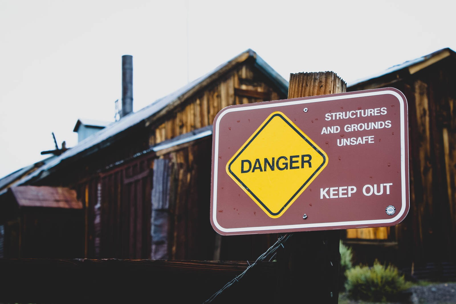
On the north-west corner of town, perched against the rolling hills, is the Standard Consolidated Mining Company Stamp Mill. The wooden and corrugated steel structure is picture-perfect and looks like it could be the station of a themed mine train roller coaster! Unfortunately, due to structural integrity concerns (or because they don’t want people playing around in an old mill), the entire stamp mill area is off-limits; but you can still get a pretty close view.


Cindy and I really enjoyed our time strolling through the ghost town. As you can see, it did rain on us during portions of our visit, but that sort of added to the ambiance of a town otherwise frozen in an empty corner of California. Bodie is such a small blip in the grand scheme of California’s past, and yet the town is entirely wrapped up in the major trends and forces of the state’s history. It’s a fascinating icon, a hauntingly beautiful vista, and a landmark worth the visit.


Anyway, after our exploration of Bodie, we soon returned to the car. Inside the Fit, we bounced our way back through three miles of muddy road before hitting tarmac. Soon, we were back on the 395. We still had nearly 2 hours of driving to go, including a stretch near Nevada’s western “point”. It had been a long day and all we wanted to do was check into our Lake Tahoe room, take a shower, and rest—but that wasn’t what the motel had planned for us. More on that story, here!
Anyway, that’s all the story I have to tell for Devils Postpile National Monument and Bodie State Historic Park. There are plenty of other stops in the eastern Sierra Nevada and I can’t wait for my next trip up Highway 395 to discover them!
For more photos of our day on the 395, check out the gallery below.