Visited November 2015
When you look at satellite imagery of the United States, two main colors fill the map. East of the Continental Divide and along the Pacific Northwest, the country is green, lush, and vegetated. Then, there is the American Southwest, appearing a brownish-yellowish-orangish-white, with no vegetation to speak of. It is desert, plain and simple. Or perhaps not so simple.
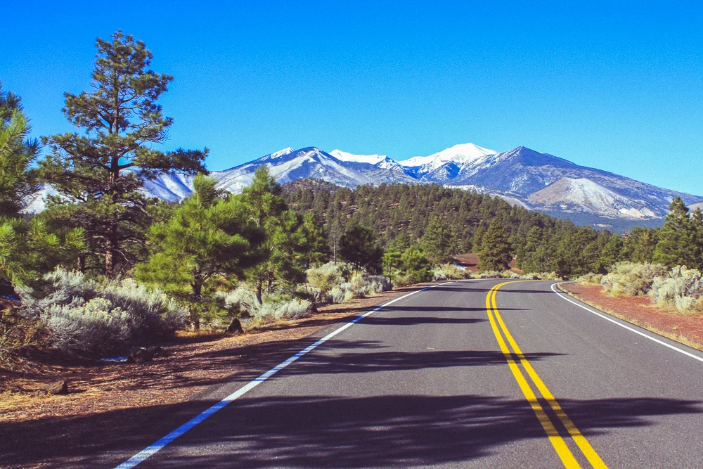
You see, desert is all I expected when driving towards Arizona on a trip to the Grand Canyon National Park, via Interstate 40. Driving through the Mojave only confirmed my expectations and even the town of Needles, straddling the solitary Colorado River, felt dusty and lifeless. But upon entering Arizona, the elevation begins to climb and with each thousand-foot increase or so, the environment changes. Somewhat quickly, low desert turns into high desert, which turns into grassy plains. Once in the plains, stretched ahead of you are the snowy caps of the San Francisco Peaks perched high above the dark green Kaibab National Forest.
I was not expecting this. Over the next several days, northern Arizona would continue to defy my expectations. At the risk of sounding like a travel brochure, the area was full of life in the geologic, ecologic, and anthropologic senses of the term—often at the same time.
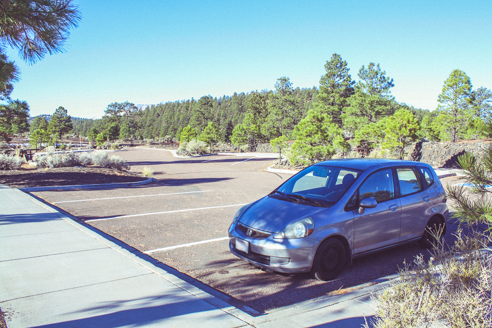
Our visit began 7 hours into our drive, in Williams, Arizona.
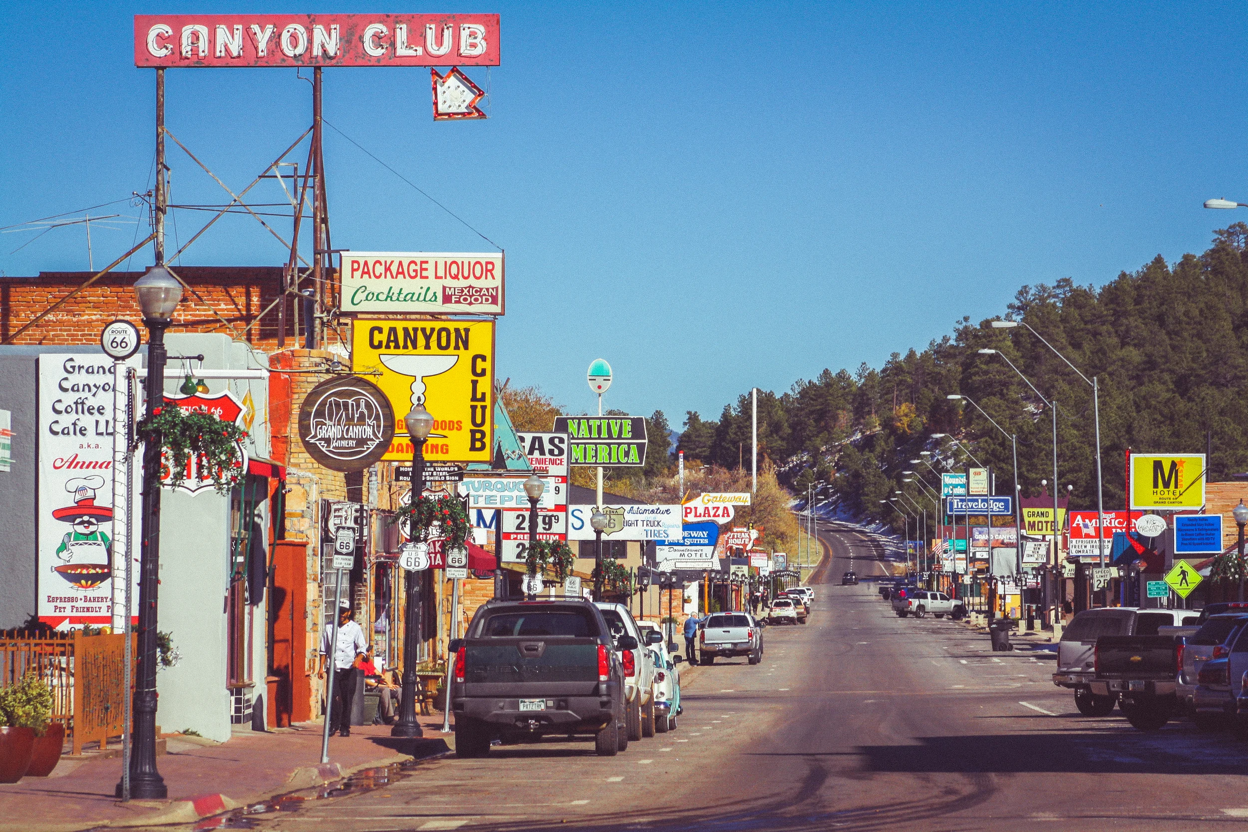
The story of Route 66, the original highway linking the eastern United States to the west (via Chicago), is being told more and more these days. It is the story of small towns and convenience stops perched along a "mother road" like Christmas lights from a strand. With the introduction of the Interstate Highway system in the mid 20th century, many of these towns were bypassed in favor of a more ambitious and straight-forward route. Some of these towns have withered and many exist today only as niche tourist stops, ghost towns, or even mere structural foundations.
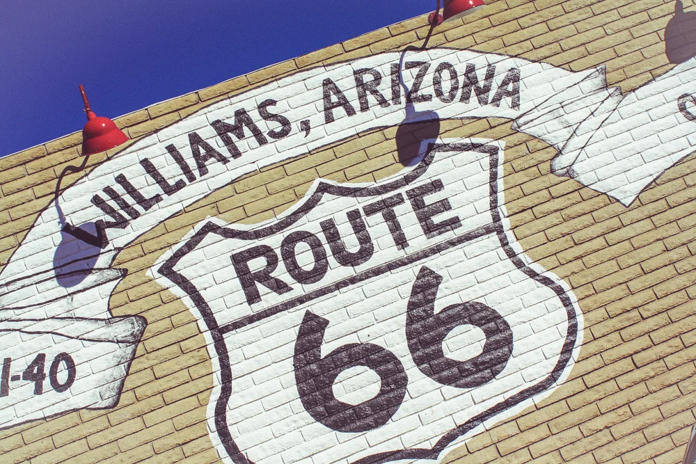
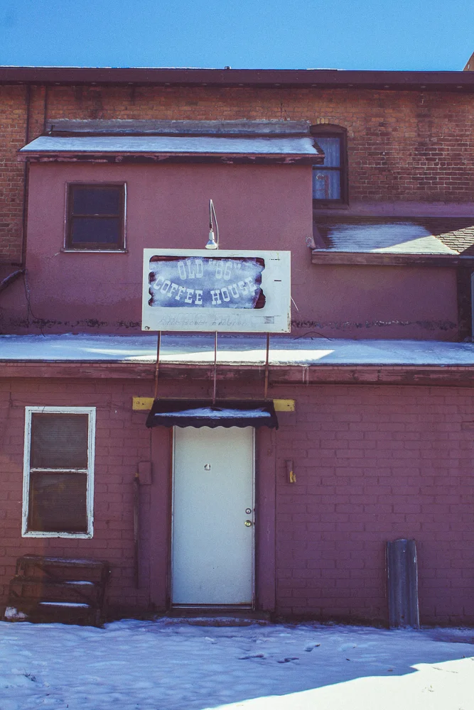
As the last major town before the Grand Canyon, Williams is unique in that it wasn't bypassed entirely by the Interstate. It remains what it always was, a junction for road and for rail. There is even train service from Williams to the Grand Canyon for those who wish to recapture the romance of arriving to the National Park by rail. Despite this, I got the feeling that the town was a bit past its hey-day. It felt a bit empty, kitsch, and touristy. To give the town credit, we were there in the "off season".

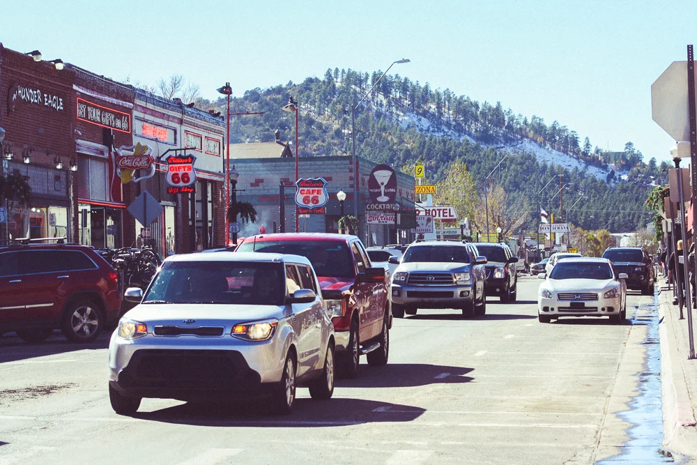
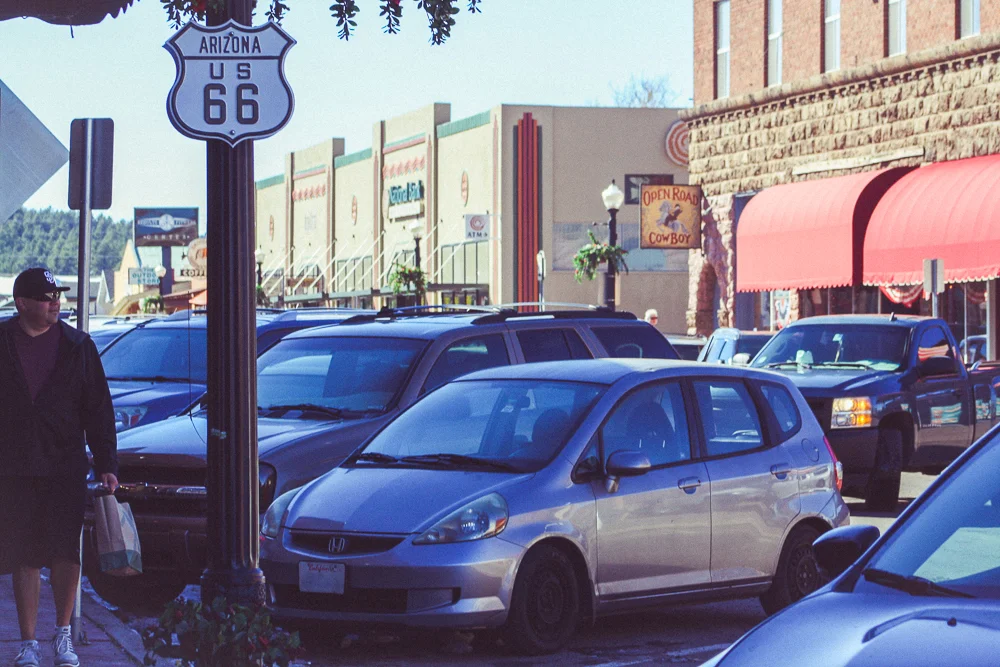
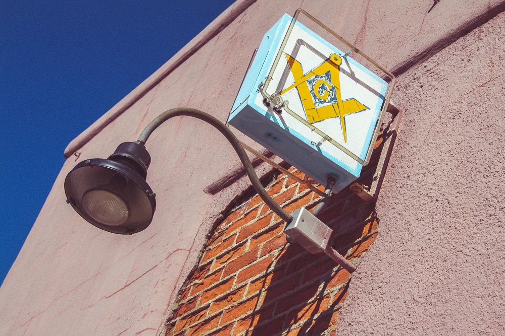
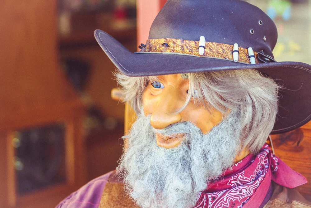
We walked up and down the stretch of Route 66 through town marveling at the little details, both original and not. The town had little historical signs describing the original use of each building. As someone who once worked in an environment modeled after Route 66 culture, I loved taking in all of the details that lent authenticity to the place.
We grabbed lunch and then I went on a photo-spree as Cindy searched the local shops.
Ultimately, we only stopped in Williams for a moment to stretch and to eat. After 7 hours of driving, I could have easily spent the night there but needed to be back to our car and in route for the Grand Canyon, one more hour due north. And so we left. Perhaps I'll give it a more thorough tour one day.
We spent a day and a half at the Grand Canyon, which I'll cover in another blog post. Needless to say, we had a fantastic time and we saw plenty of vistas, a sunrise and a pair of sunsets, went on a hike, and travelled to the far, eastern end of the National Park.
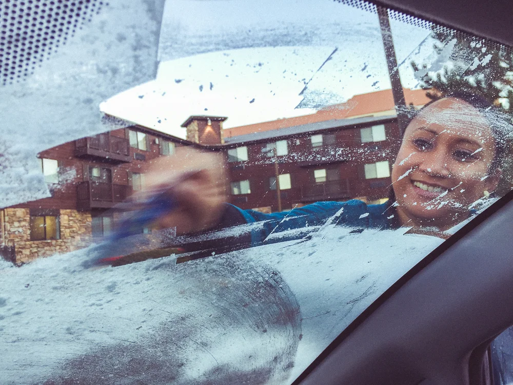
When we woke up on the final day of our weekend road-trip, we squeegeed our icy windshield and began to make plans. We knew we wanted to see a little bit more of northern Arizona before our 8 hour drive home. There was the famous Meteor Crater but it was pretty far and had a steep admission fee (considering it's just a hole in the ground). There was the much closer Bearizona, back in Williams. I had seen a lot of friends attend this drive-through zoo in the weeks leading up to our trip but it, too, had an admission fee a wee bit higher than I had hoped to spend. It was through this lens that I was reminded that the "America the Beautiful" pass I had purchased to visit the Grand Canyon included free admission to all National Parks and Monuments for a year. A quick Google search and we were off, in search of more of what Arizona had to offer (and for free!).
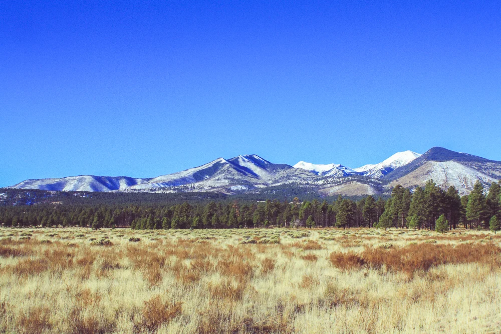
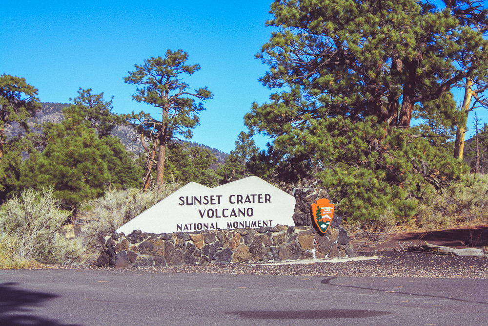
This journey took us through Flagstaff and then to the other side of the San Fransisco Peaks, still snowy from the storm a week earlier. We drove through a forested region, past a few meadows, and into the Sunset Crater National Monument.
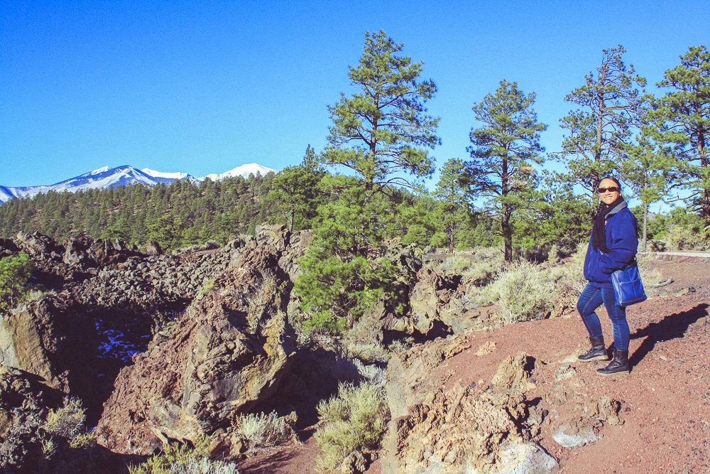
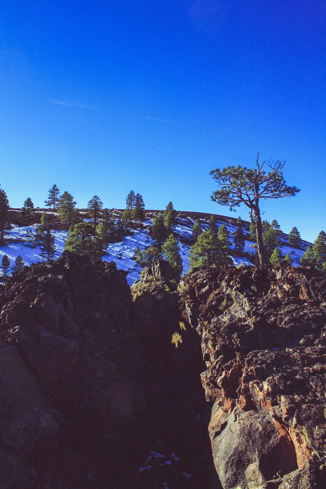
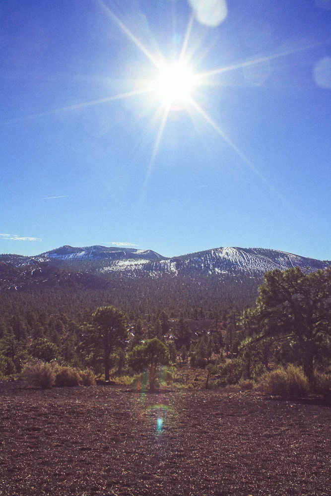
The Sunset Crater National Monument highlights Arizona's volcanic past. There, one can see examples of cinder cones, lava flows, and the strange structures lava twists itself into when cooling rapidly. We were the first visitors inside the park (we were technically there before it "opened"!) and had the entire lava field to ourselves. This only added to the Martian-feeling of the landscape. Or should I say the "lunar"-feeling.
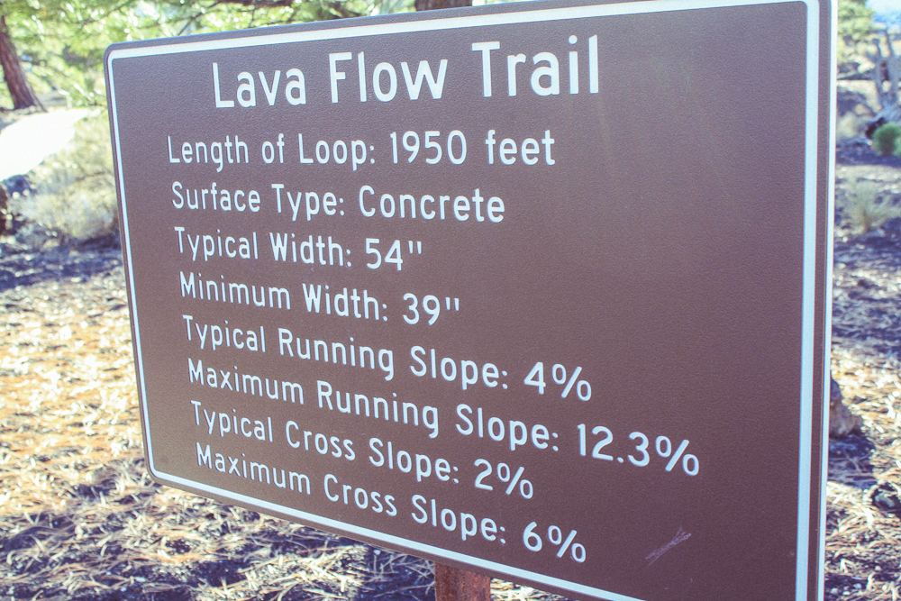
We walked along the small, paved trail and then journeyed further onto the dirt trail that extended to the base of the Sunset Crater cinder cone. At some point, we lost our way and ended up on the main road, which we embarrassingly had to walk along to get back to our car.
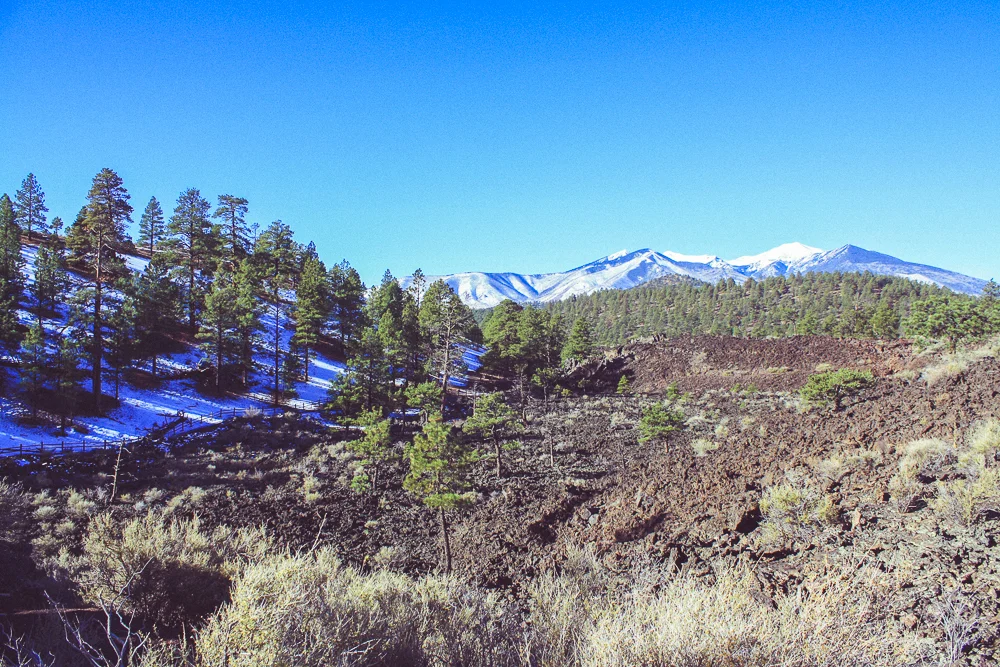
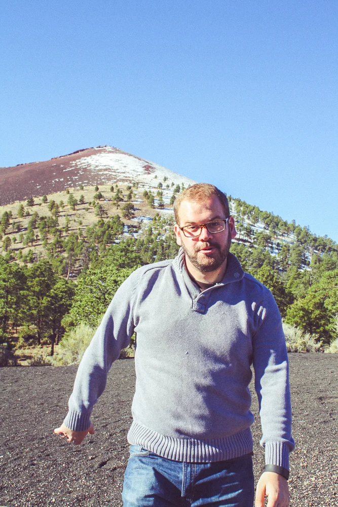
Now back at our car, we drove 2 minutes to the other side of the cinder cone, where it was easier to take pictures of the steep hill. From this vista, we could see how far the volcanic terrain stretched. In fact, I knew that it continued beyond the visible ridge and into the Cinder Hills Off Highway Vehicle area, for folks to zip around on ATVs and go-carts, and into a landfill. Recall that I referred to the landscape as "lunar"? In would be just beyond those hills where the early Apollo programs would use the terrain to practice moonwalking in the '60s.
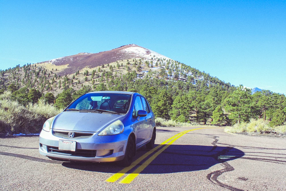
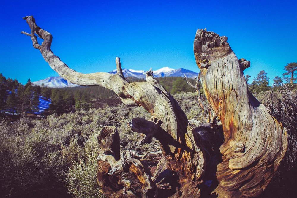
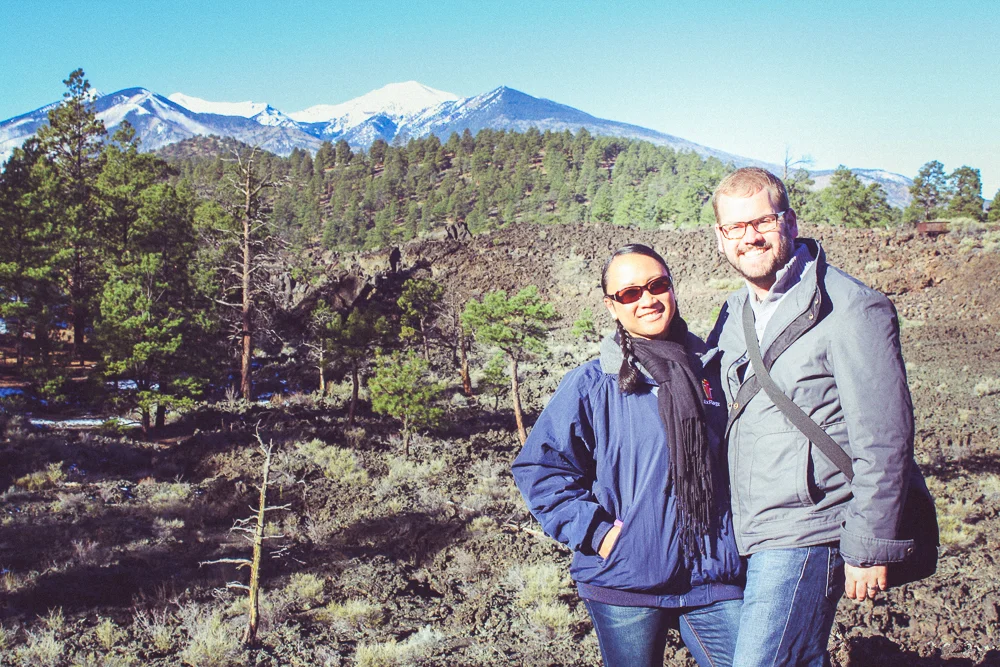
There was a moment when I saw my car resting on the empty road and I realized that this would be the last major road trip I would travel on with it. It's getting "up there" in age and two weeks later, we would be purchasing Cindy a new car and transfer the heavy lifting to this new vehicle. I can find a reason to be sentimental about anything, so I snapped a few photos with the stunning, volcanic backdrop. But with no time to waste, it was time to continue.
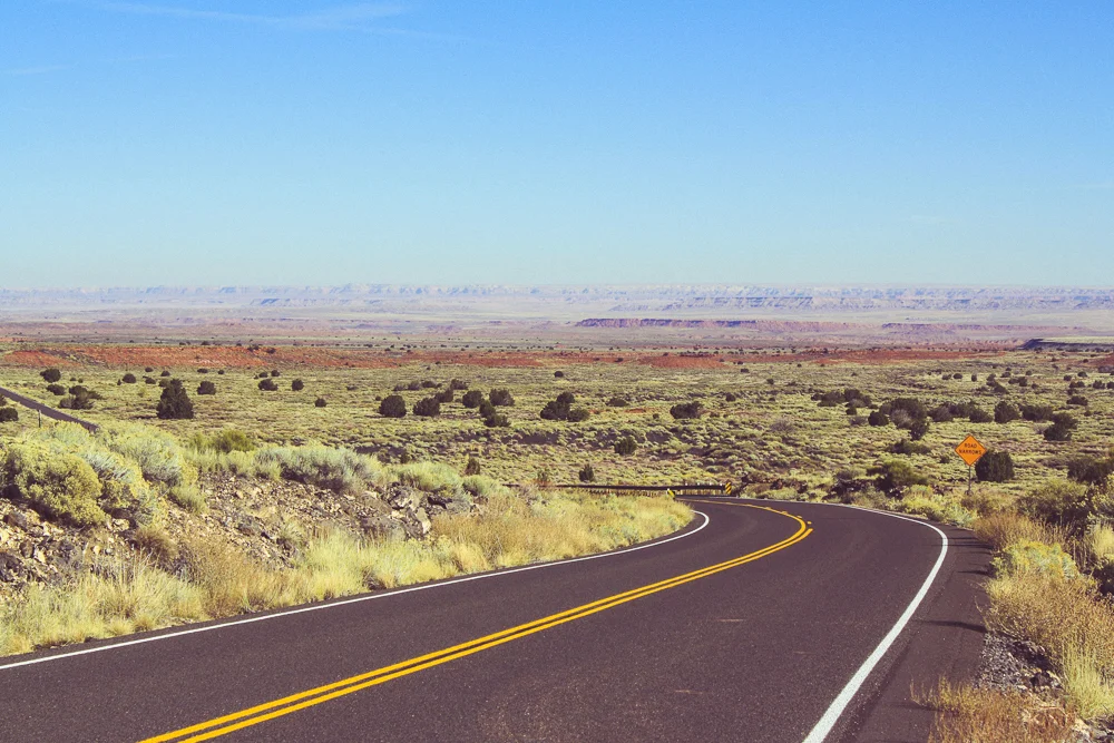
The decent out of the Sunset Crater National Monument is stunning. Just as I described the rise into Williams earlier, we travelled through many environments in a mere 45 minutes down the hill. Seeing the range of colors stretching from our grassy highway to Arizona's Painted Desert in the far distance made for a brilliant landscape. Once at the bottom, we arrived at the Wupatki National Monument.
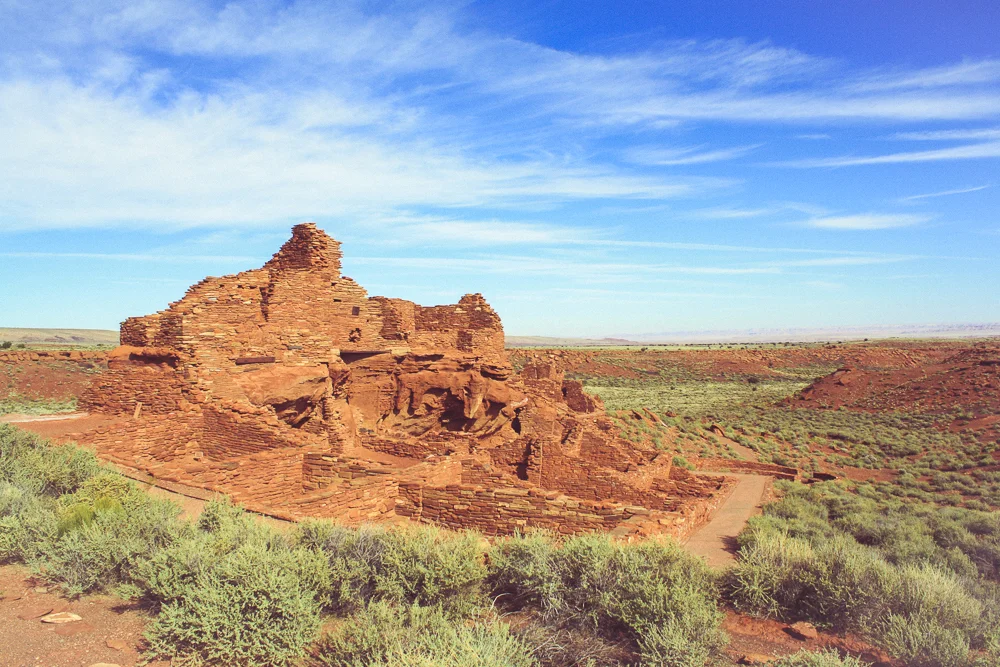
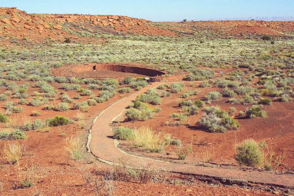
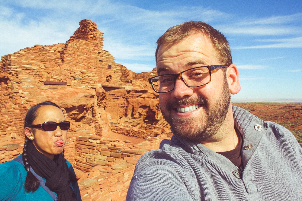
Administered together with the Sunset Crater National Monument, the Wupatki National Monument is home to many old pueblo structures of the Hopi Native Americans who lived in this area 700-800 years ago. At the Visitor's Center is the Wupatki Pueblo, a very large multi-level urban complex featuring tens-of multi-use rooms, religious worship space, and even a sporting circle.
There is a trail that takes you up-close to the structure and even allows you to step inside a room at one point. The Visitor's Center lets you check out a simple laminated guide book to explain each stop along the way. It was remarkable to factor that this is one of the oldest urban structures in the country.
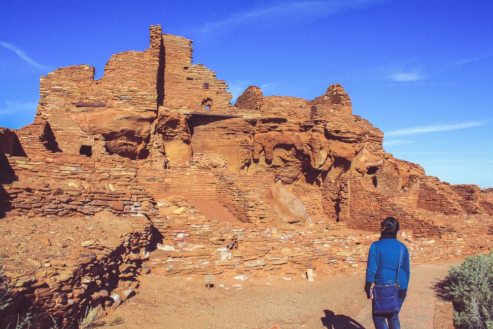
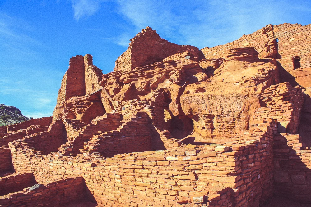
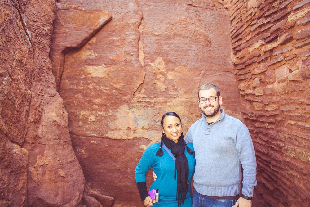
We walked around the building, studying the structure and reading each part of the guide book corresponding with the rooms. We went and took our picture inside the accessible "room", which was a solid rock-wall and opposing rock face with two adjoining brick connecting walls. Looking over one nearby bluff, the guidebook explained that the people who lived here threw their trash out over there and to not disturb the space; apparently artifacts are buried all over the mound.
I resisted the Indiana Jones like-urge to go check it out and we concluded our tour of the complex.
As we left the Wupatki Pueblo, we drove north along the Loop Road back to the main highway. We saw a few other pueblo structures dotted along the landscape. We had no idea that they were officially part of the same National Monument, so we didn't stop, but it was impressive to see how close and integrated the communities were.
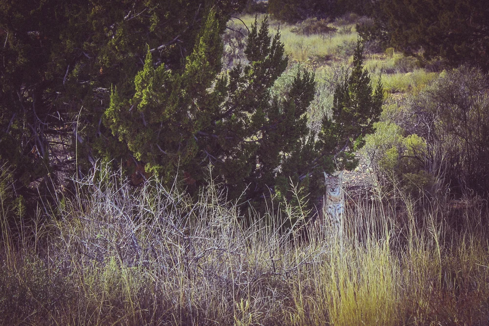
Despite driving rather quickly, I did notice a bobcat out of the corner of my eye. We stopped to give it a look; it was gorgeous. We kept our distance as it rested in the shade.
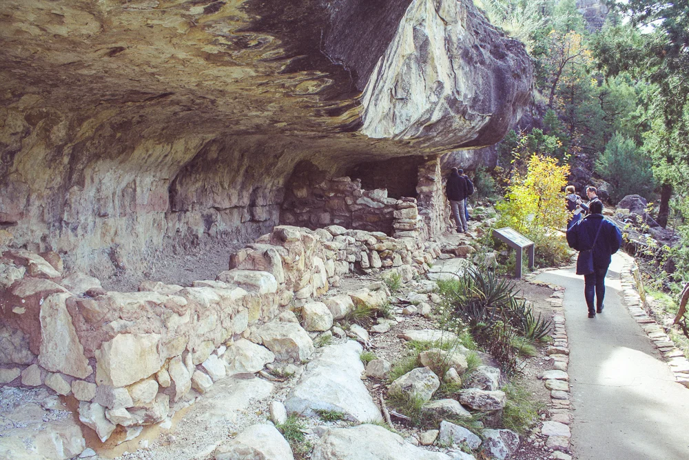
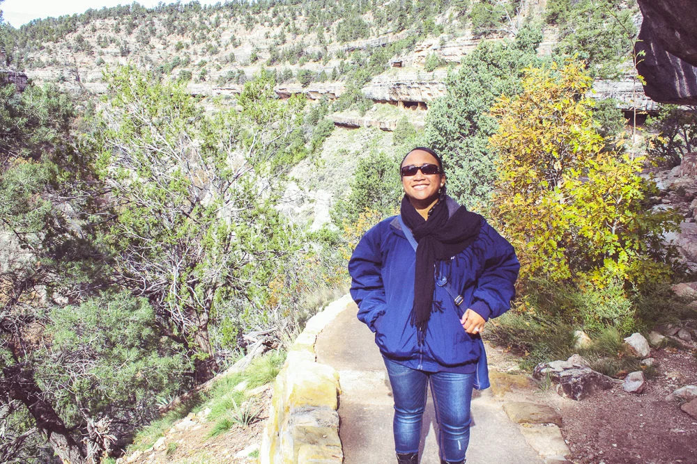
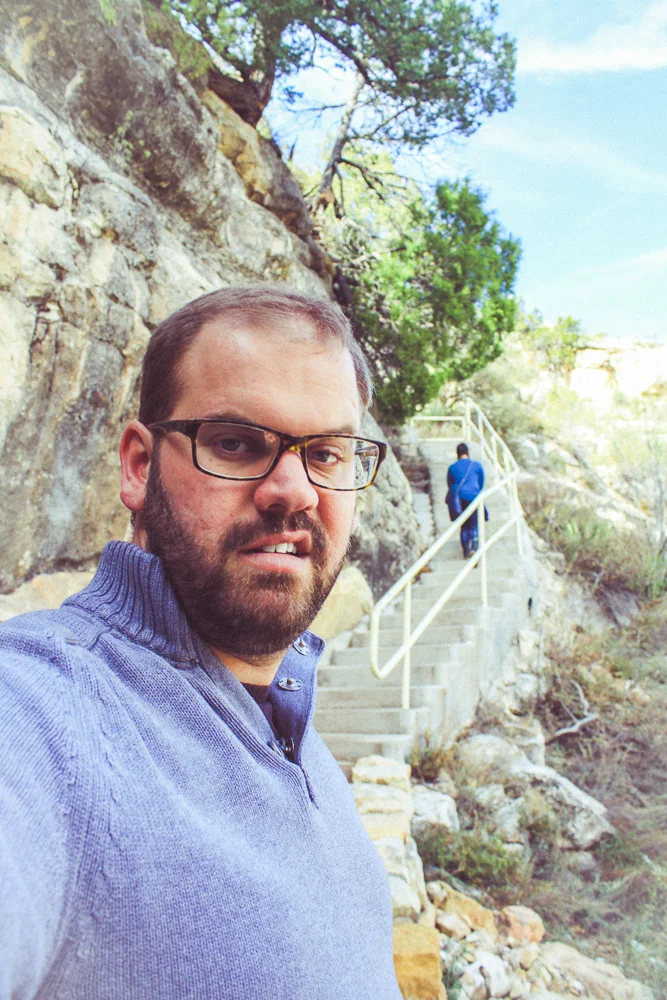
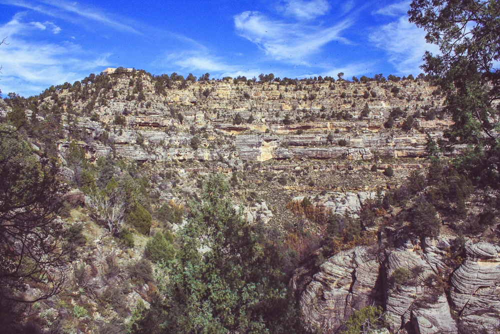
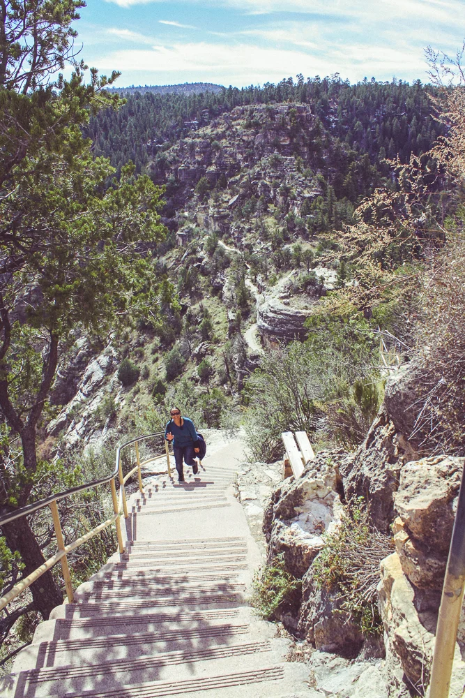
Our last stop on this adventure was the Walnut Canyon National Monument, just south-east of Flagstaff. This too called for a complete change of environment, from grassy plains to a rocky canyon full of trees. Though far smaller than the Grand Canyon, Walnut Canyon also features terraced ridges carved by water and by ice. Long ago, erosion gutted natural ribs into the sides of the cliffs. Less long ago, but still long ago, natives fortified walls within these natural overhangs to create cliff dwellings. The whole area was like a high-rise apartment building.
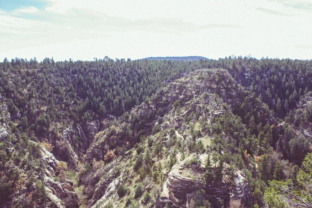
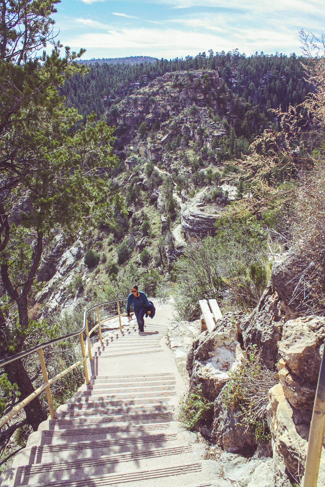
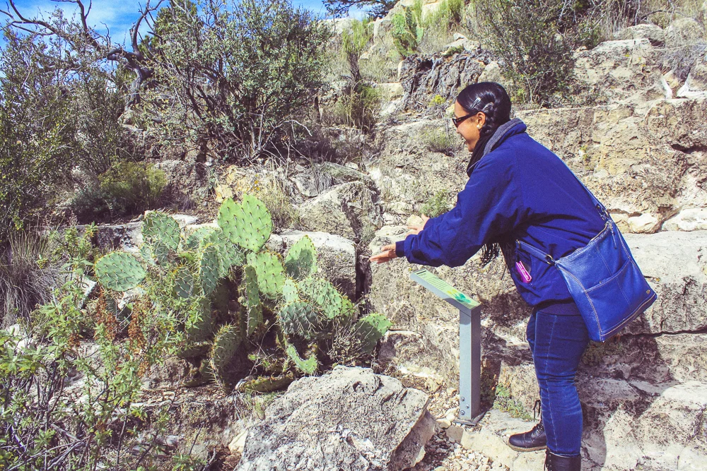
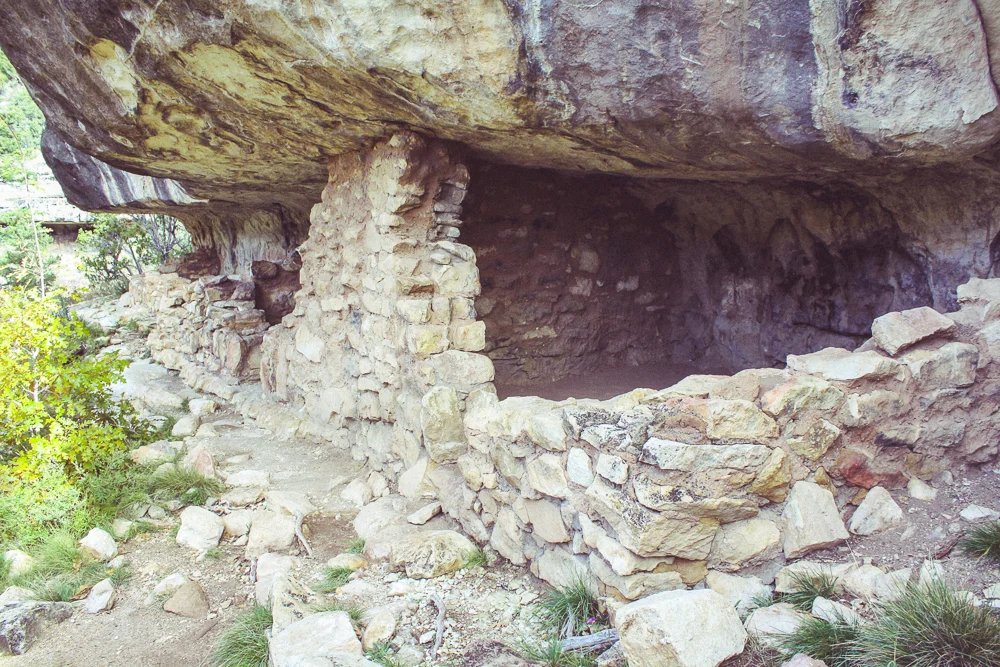
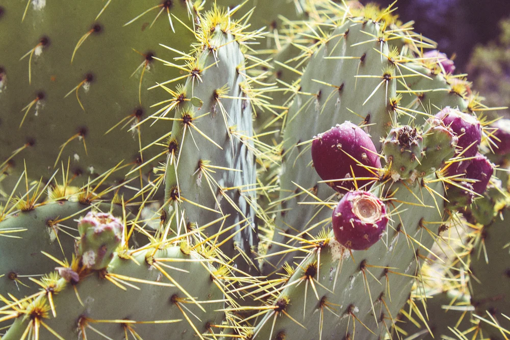
More accurately, what is left today are the remains of a multi-level community that spanned both sides of the winding canyon for some distance. Hundreds of individual rooms have been found along the walls of the canyon. Today, the National Park Service operates a Visitor's Center and trail that steps down into the canyon and then over to an "island"—a ridge protruding from a horseshoe shaped bend in the canyon. Like a class-M planet out of Star Trek, the area is a strange mesh of worlds, both forested and yet desert-like. Cindy was thrilled to encounter her first cactus in Arizona, a plant she expected all weekend!
Once down the steps and onto "the island", you can walk up along and close to the remains of the rooms that once housed this old community. There is not much in the form of artifacts (there was signage telling the story of plundering by the early western settlers) but it wasn't hard to imagine life along the canyon walls.
We continued along the trail, exploring where we could. On occasion, the rooms have remained so well fortified that we'd have to turn on our cell phone flashlight to look around the space (from outside the room, of course). When we made our way to the other side of the "island", we saw the uphill climb which lay before us. On a weekend full of hiking, one more uphill climb was one too many!
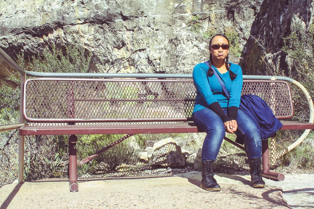
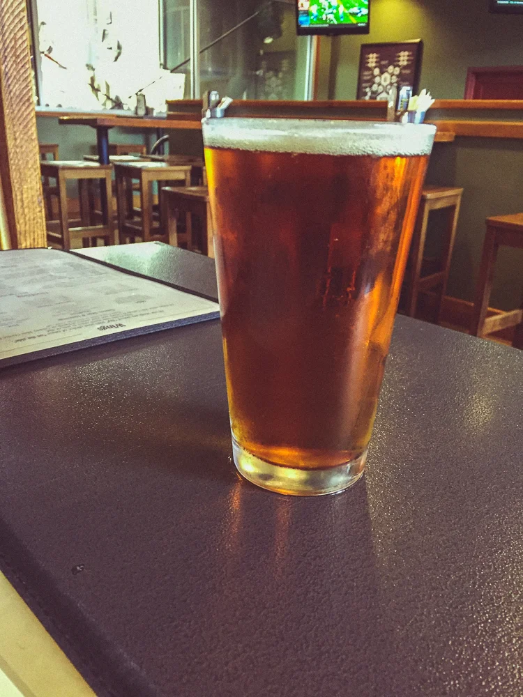
We returned up the same staircase which led us down into the canyon. We took a few breaks along the way, taking in the sights. I am all for hiking and adventure, but at this point, all I wanted was an elevator and a beer.
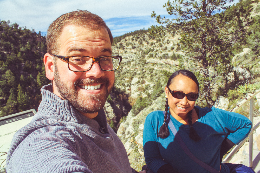
When we made it back to the Visitor's Center, pretty exhausted. We had spent the last 5 hours trekking across the landscape of northern Arizona. But other than gas and lost sleep, the whole day was free thanks to the "America the Beautiful" pass. It proved to be a terrific value and we cant wait to see which other National Parks we can visit with it!
We left the Visitor's Center to start the 8 hour drive back to Los Angeles. But 30 minutes in, we decided to stop in Flagstaff for lunch.
I never did get that elevator but I certainly got myself a beer! Flagstaff was an awesome town full of great places to eat and to drink. It's funny; I write a blog post on "northern Arizona" and then spend only this small paragraph covering its largest city. This is perhaps because I was too hungry and tired to take photos while there. I will definitely need to budget more time to explore Flagstaff on my next trek across the country.
I am a snobby Californian. For all of our droughts and earthquakes, I'm still rather fond of my state and its many environments. And unfortunately, I tend to look at the "single story" of all of the other states until proven otherwise. I assume Kansas is flat. Utah is Mormon. And honestly, I thought Arizona was just tumbleweeds. And I have been assured (by Arizonians, no less!) that there are plenty of tumbleweeds in Arizona. But northern Arizona proved to be exceptionally diverse in plenty of ways.
I was really impressed with the area and plan on being back one day. I still want to round-out that crater, the observatory, check out more of Flagstaff, and of course, visit Sedona, a little further south. Until then, I have these photos to reflect on this trip by. To see more of the photos from our trip to northern Arizona, check out the gallery below!: