Visited June 2014 and August 2016
I love the idea that our landscape is so large, and our perspective so small, that there are massive details hiding from us in plain sight. When I imagine this, I think of crop circles or the Peruvian Nazca Lines, which must be seen from a high elevation (typically the sky) in order to decipher the images they contain. It is in the same vein that I have grown interested in the emerging field of Space Archeology, which utilizes satellites with various imaging tools to identify patterns in the landscape, revealing archaeological dig sites.
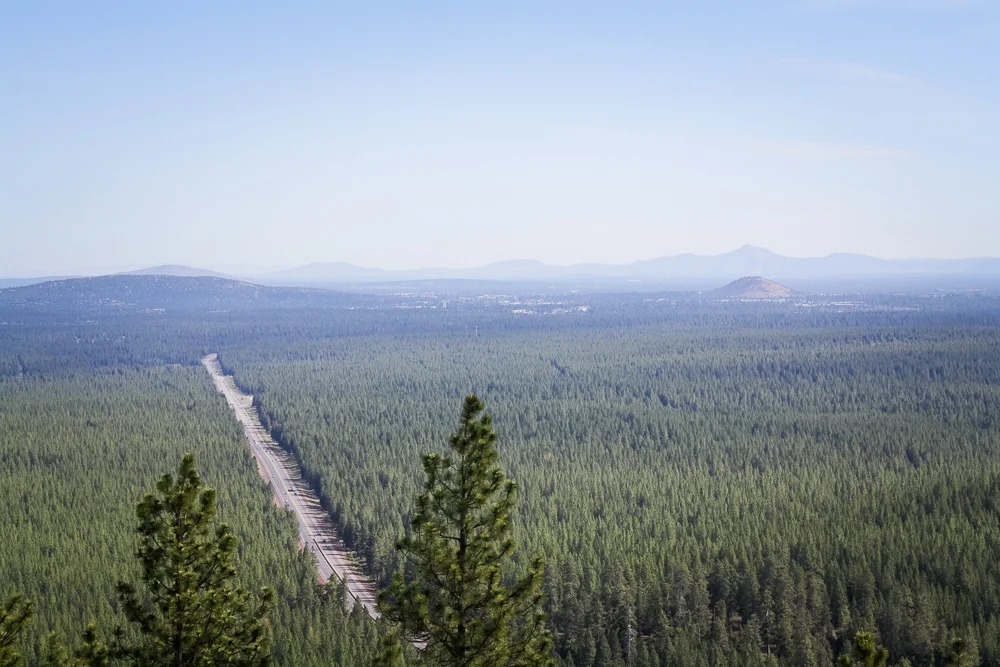
The landscape is important to me. This is especially true on a 14 hour drive to my brother’s house in Bend, Oregon, where the drive is literally made-or-broken by the sights along the way. For example, the first 5 hours or so are particularly dull and flat whereas the winding Interstate 5 through the foothills of Mt. Shasta are exciting and beautiful. But no matter how wooded the landscape remains, by hour 13, I tend to not care and wish to just push through. I know that I’ve arrived when I see Lava Butte, a significant geologic feature along Highway 97.
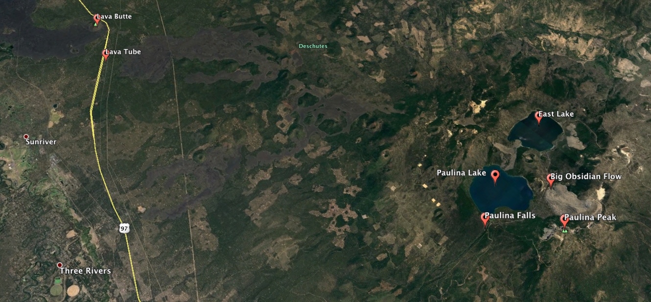
Little did I know, I had spent the last hour driving along the base of an enormous volcanic caldera, responsible for shaping the area for tens of miles in each direction. Lava Butte is both prominent enough to be noticed and yet small enough to stand as one feature in a massive formation, like discovering the fingernail of an ancient, buried statue. When I take to Google Earth, the feature reveals itself as a skull-shaped ring containing two lake-eyes and bleeding out a massive lava flow towards the highway.
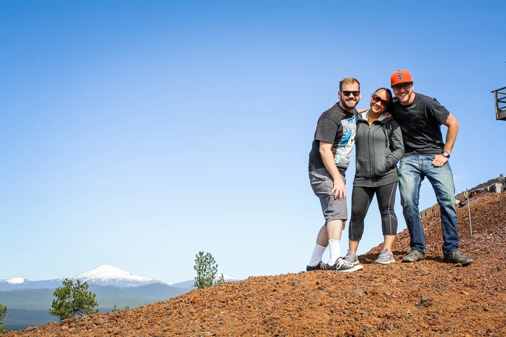
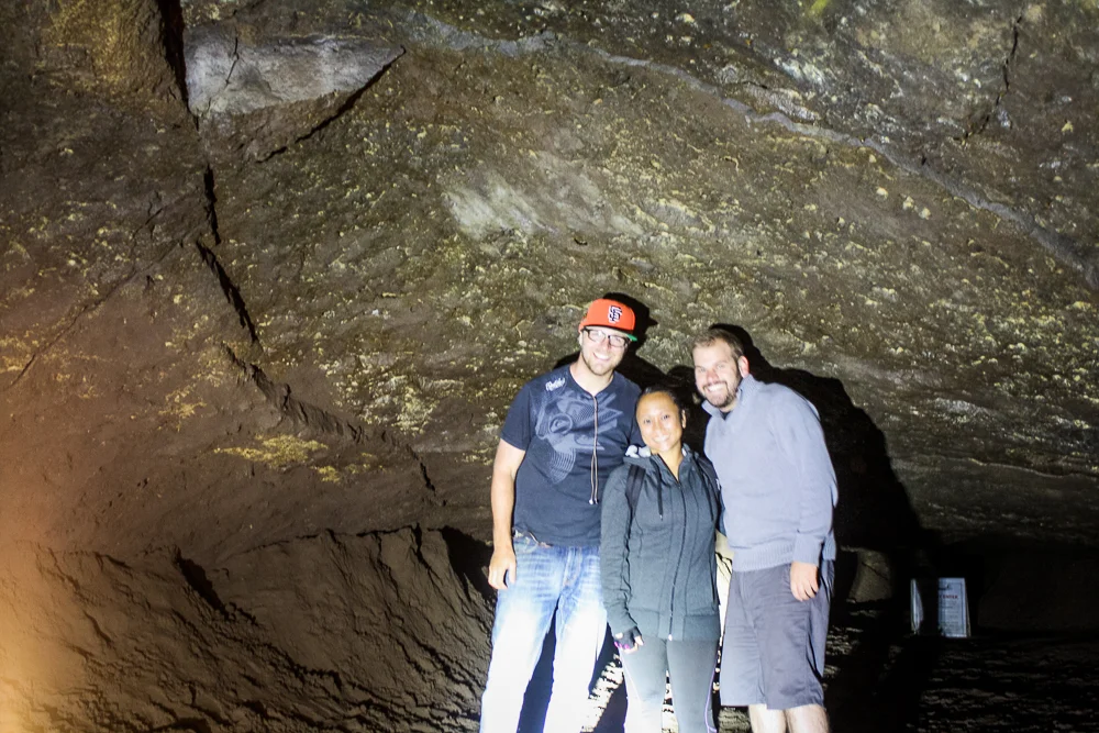
This is the Newberry National Volcanic Monument. The area is so large, in fact, that it would take two separate trips to Central Oregon to take in all that this National Monument has to offer. And so, without further adieu, our story begins in June of 2014, when TJ, Cindy, and I took a drive to check out Lava Butte.
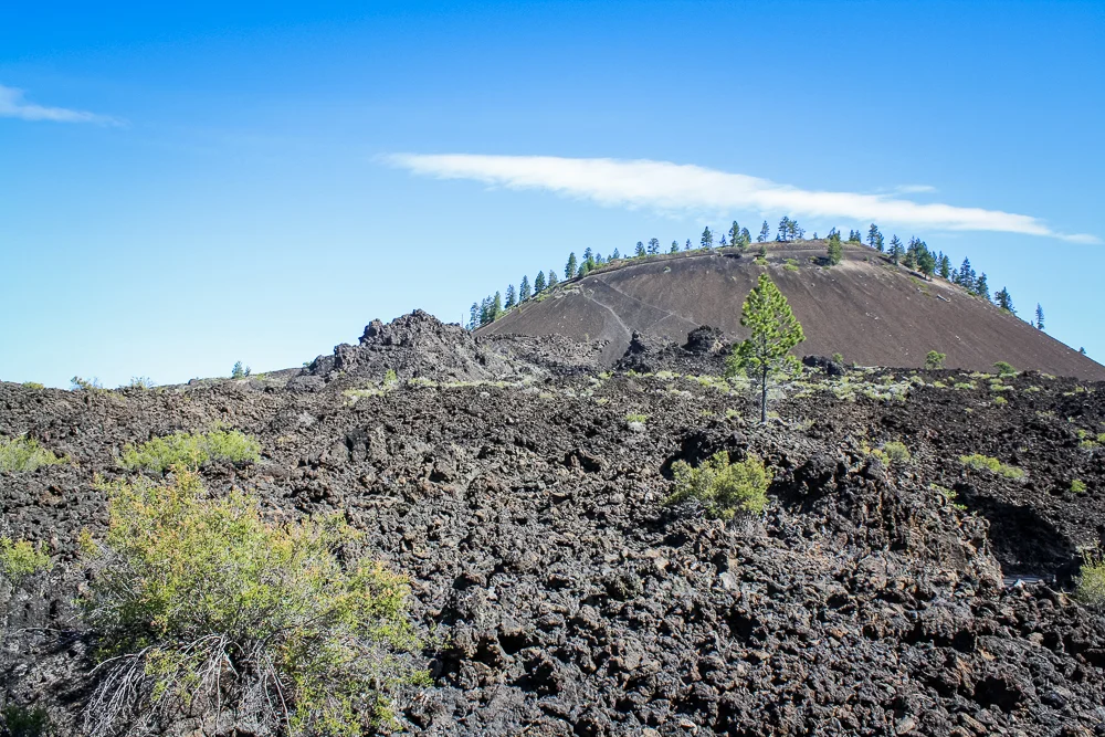
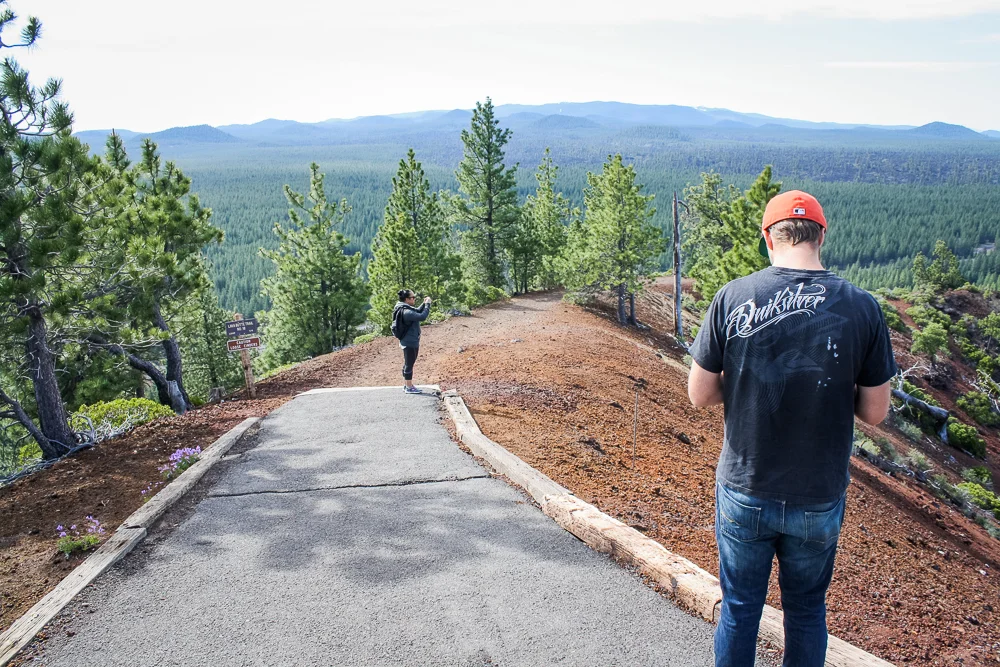
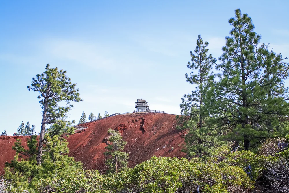
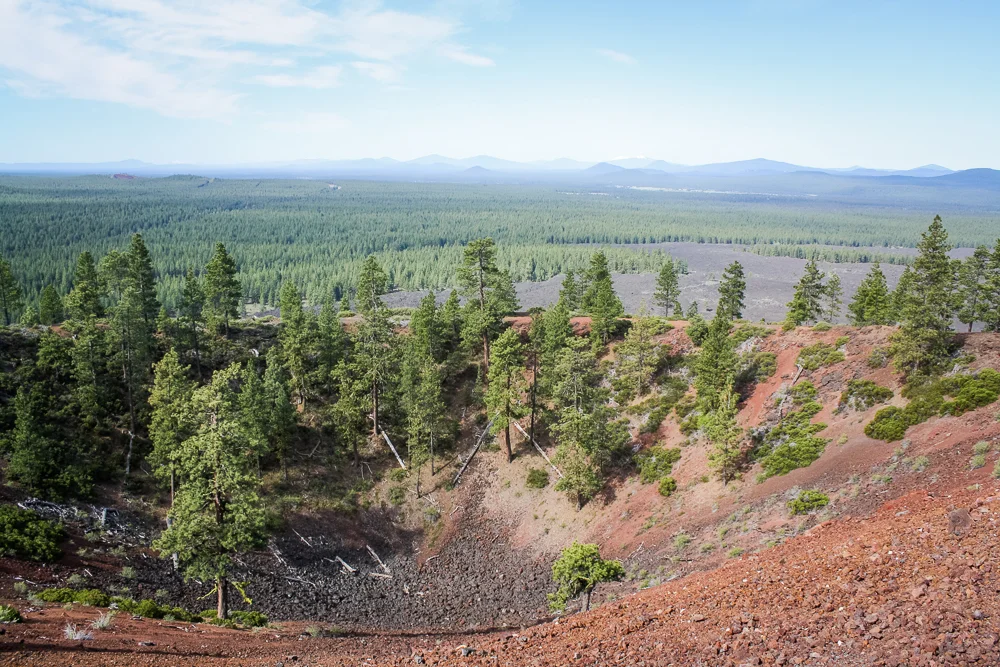
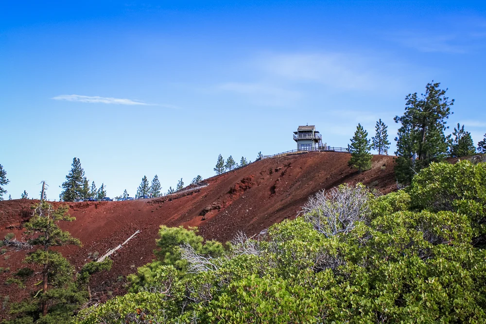
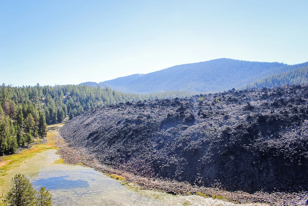
Lava Butte is a 500-foot tall mound of lava rock jutting into Highway 97, just 10 miles from Downtown Bend. Like the Sunset Crater in Northern Arizona, Lava Butte is also a cinder cone with a bowl-shaped crater at its peak. Luckily for our lazy asses, we were able to drive a circular road to the top of the butte. From up top, we could see Pilot Butte and the city of Bend to the north and to the south, the peak’s crater rose above a lava flow that stretched for a mile or two.
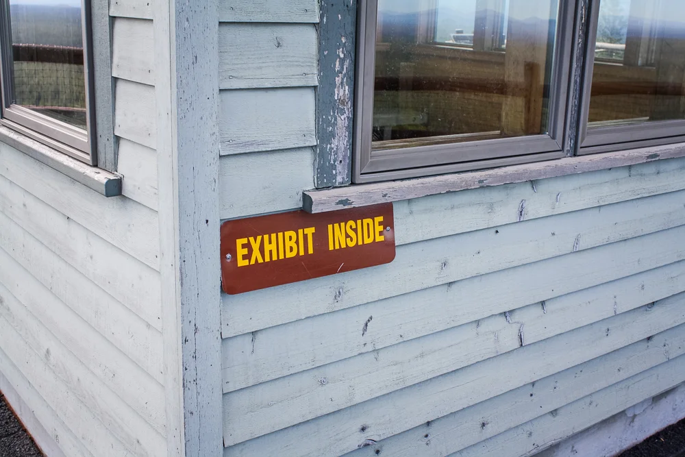
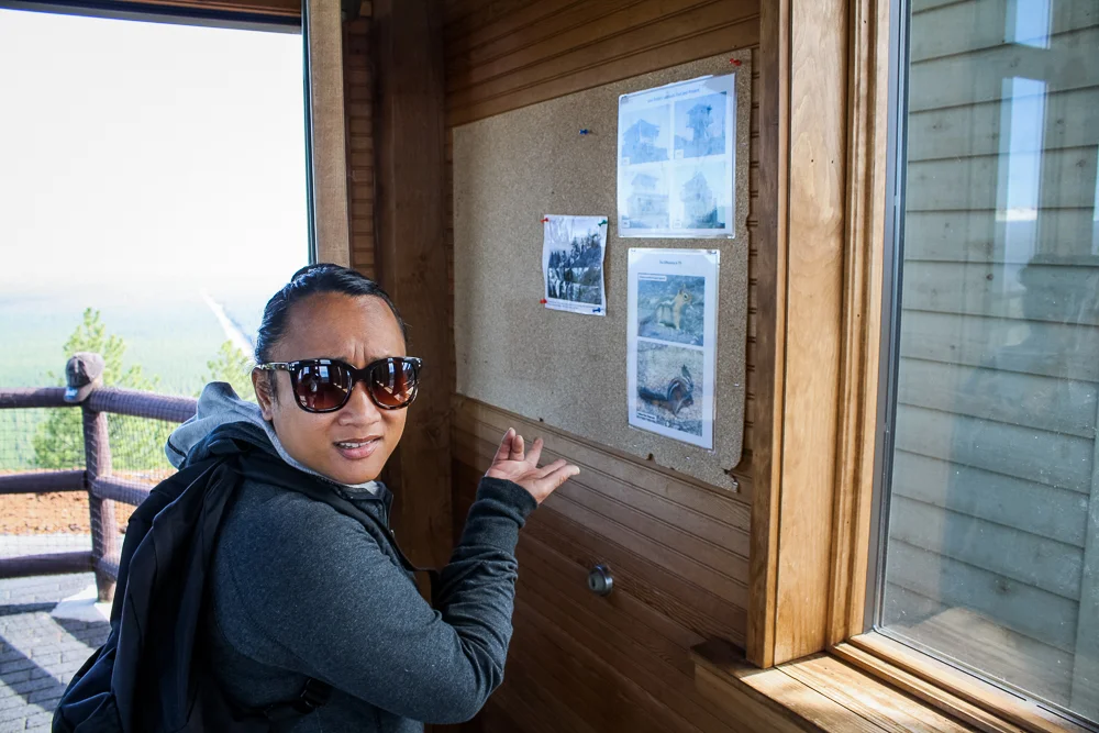
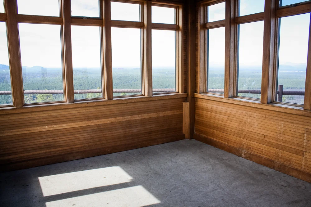
At the very top of the butte was a fire watchtower. Despite signs promising educational exhibits, we stepped in to find the structure bare.
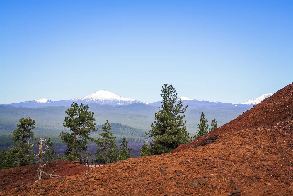
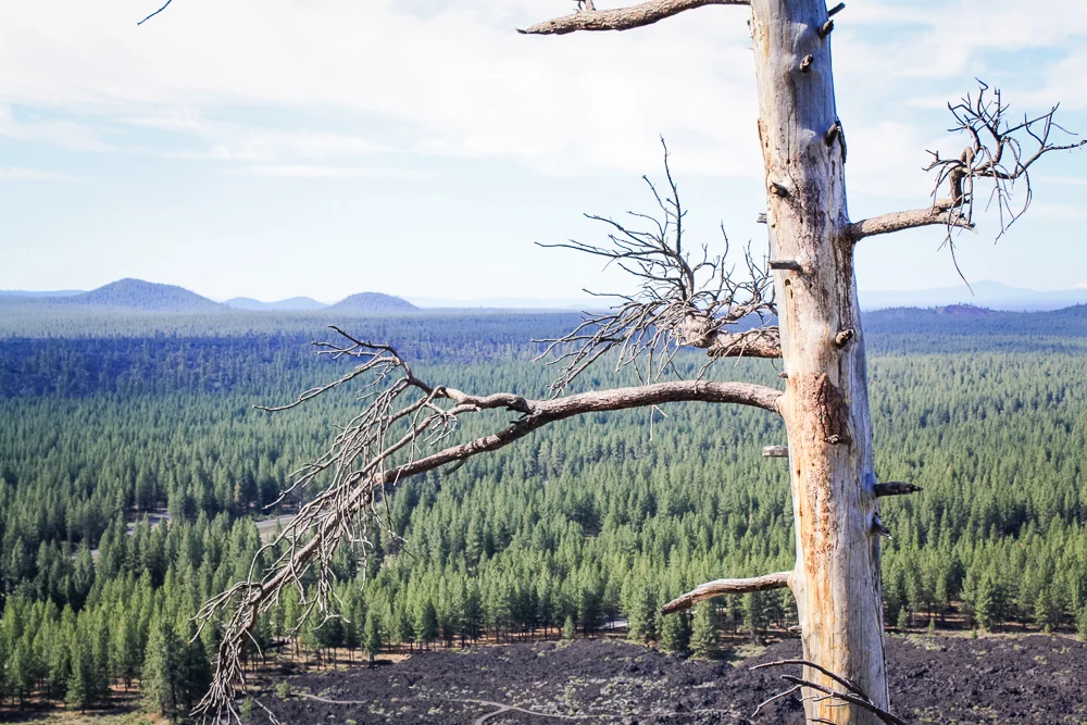
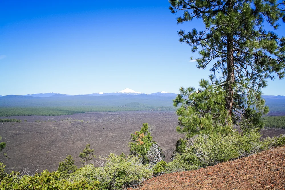
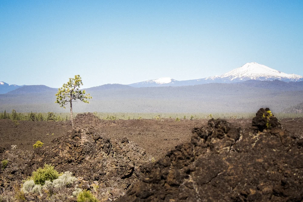
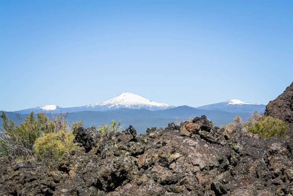
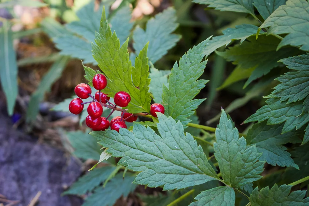
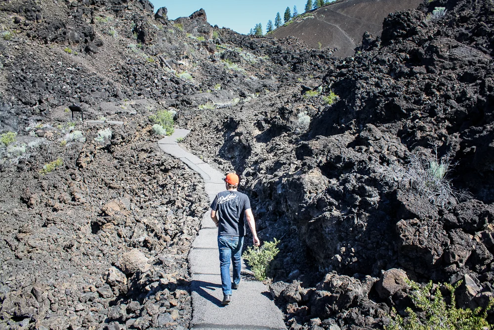
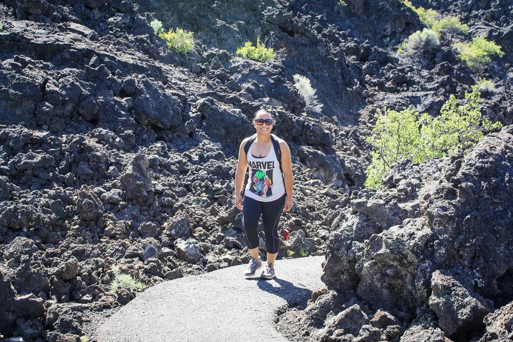
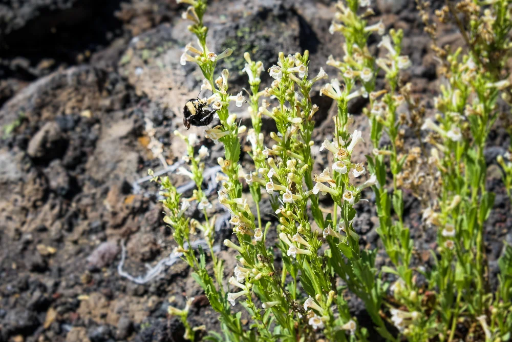
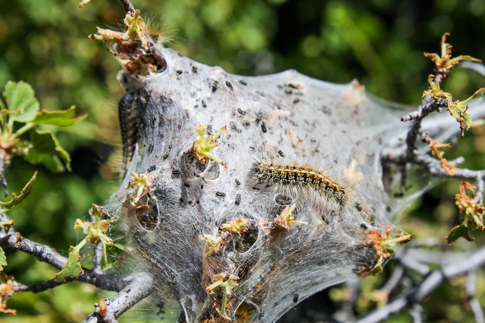
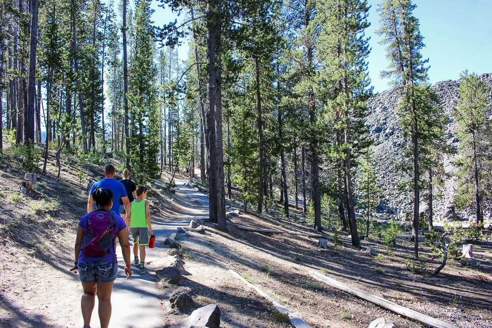
Having taken in the views, we opted to put the car into neutral and coast down to the lava flow at the base of the cone. There was a loop trail paved into the landscape and we were interested in going exploring! Though the rocky plains were hardly as forested as the Cascade mountains on the horizon were, they played host to several defiant trees and a variety of high-desert life.
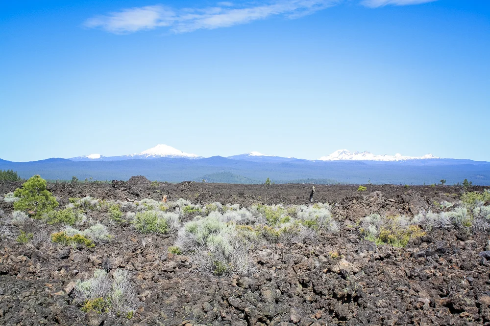
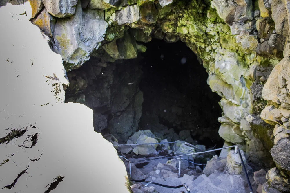
The Lava Butte and its adjoined lava flow were a fantastic, above-ground look at the area, but we were all ready to go exploring further. Lucky for us, just one mile south of the entrance to the Butte is the Lava River Cave, an opportunity to explore the area’s geology from under the ground.

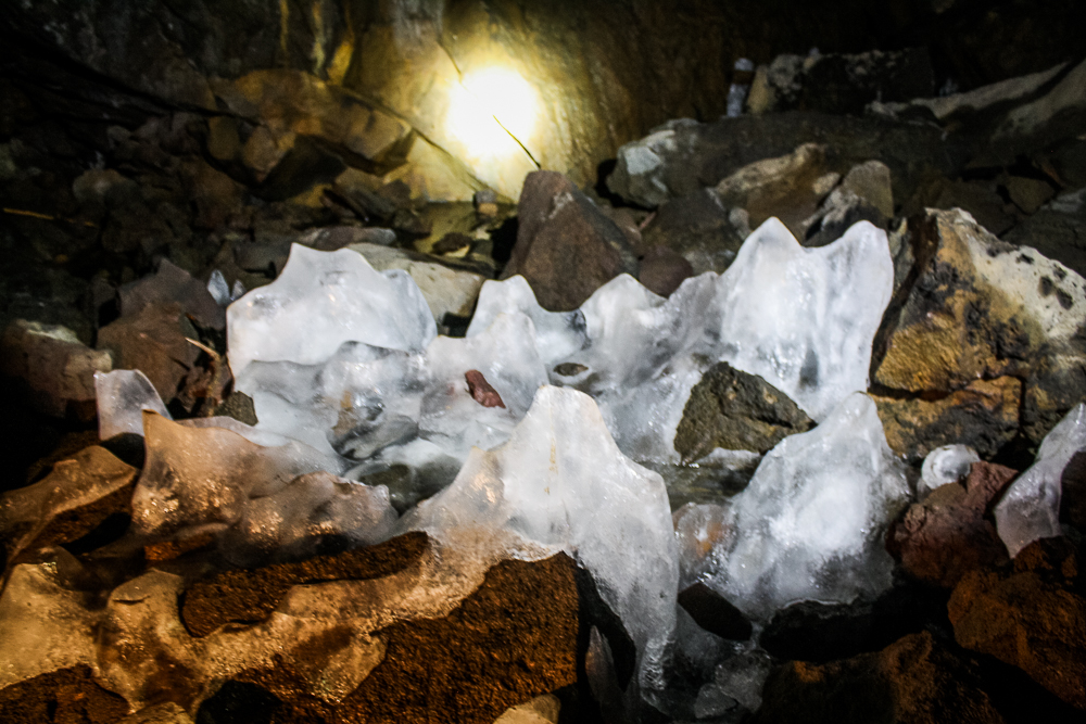
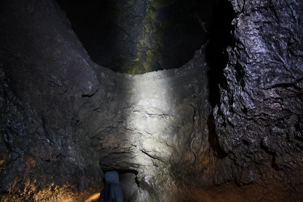
The Lava River Cave is a dormant lava tube, or an underground passage for lava. From the mouth of the cave, the tube runs straight under Highway 97 for about one mile. It’s terrifically neat; although, I imagine that as far as spelunking goes, its straight, narrowing path makes this cave less exciting to the pros. Still, as n00bs to the underground, it was pretty neat.
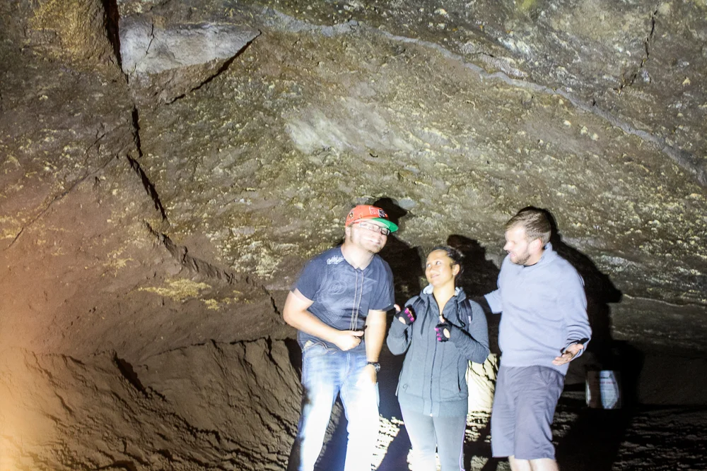
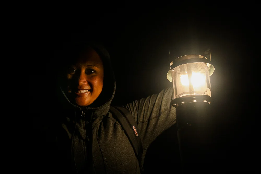
The three of us rented a gas lantern to share and descended into the Earth. It was cold in there! Ice from months prior still clung to the floor and the air inside the cave remained at a constant 42 degrees Fahrenheit, which is ridiculously cold for someone from Los Angeles. We bundled up and yet still found ourselves huddling up for warmth like the weak sauces we were.
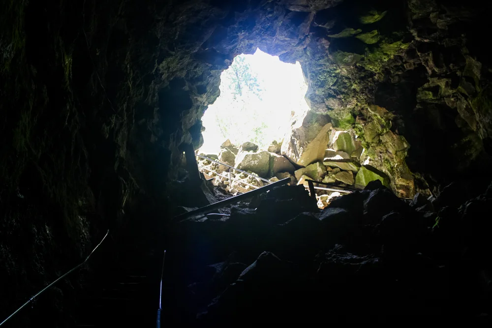
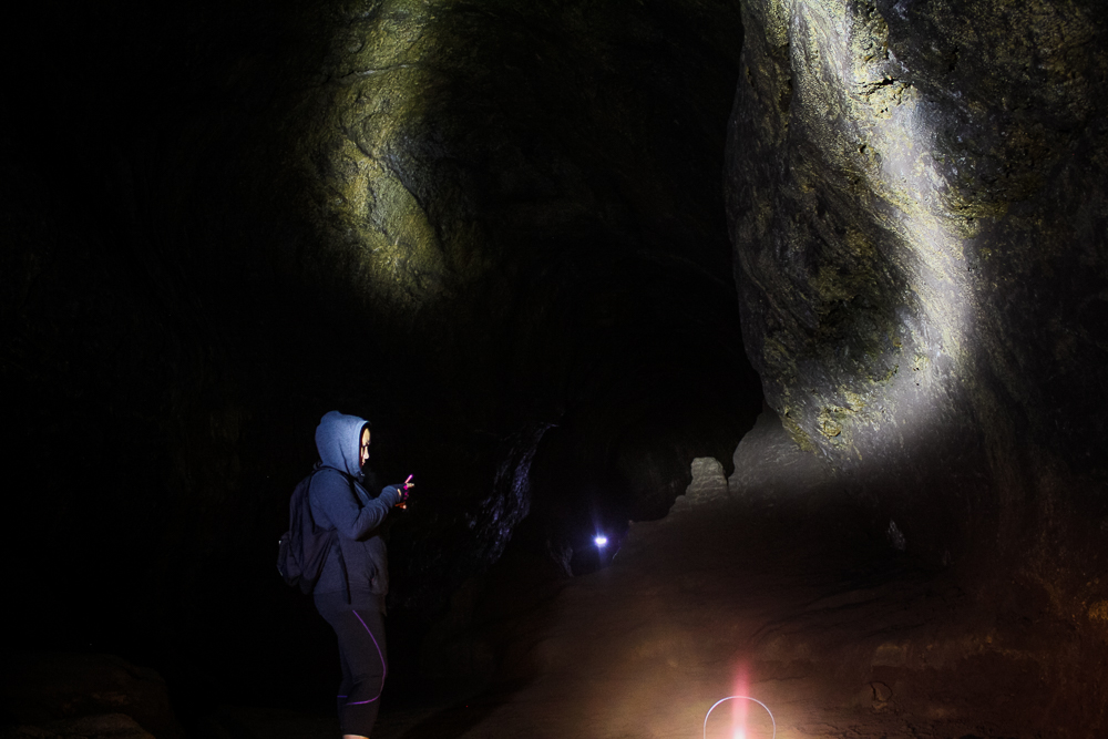
Eventually, we reached the point where the cave began to shallow. To proceed further would require a crawl and, considering the moist soil below, we chose to not push it and simply doubled back.
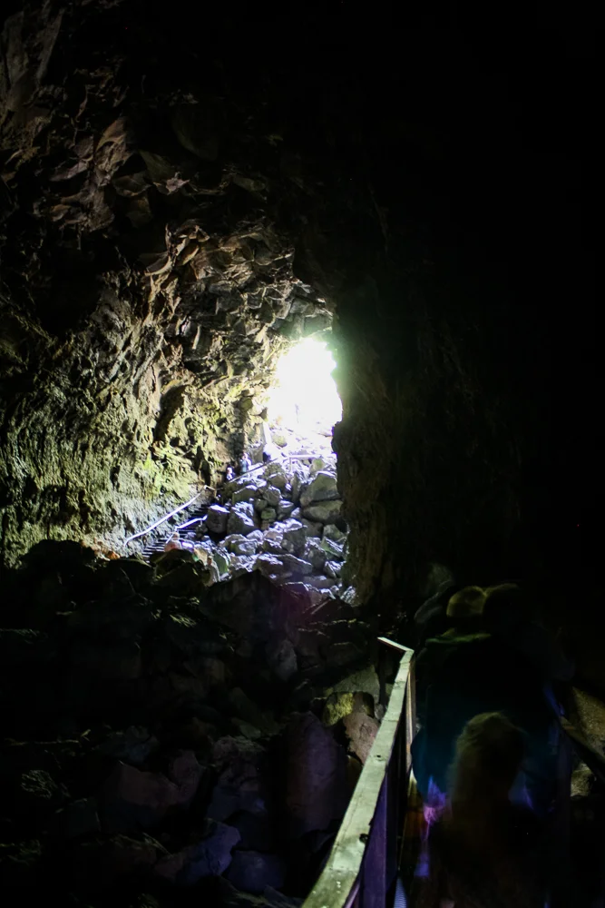
As I said in the recent Grand Canyon post, I am constantly being reminded that I’m not truly a photographer but rather a “picture taker”. Low-light photography is what I find most difficult and so, I don’t have a lot of good cave photos to share. Still, we snapped a few unique shots by leaving the exposure going and waving around a flashlight. We even discovered an upper-level to the tube in doing so!
The Lava Butte and the Lava River Cave were all that we managed to explore on this visit to the Newberry Volcanic National Monument. The other points of interest sat above a snow-line and were still inaccessible, even in June. Cindy and I have always clung to the philosophy that 'Not being able to see everything simply gives you a reason to come back'. And, having family in the area, return visits are all but guaranteed. And so, we returned back into town, hoping to visit within the next couple of years.
A couple of years later, we returned!
You see last year, Cindy and I again stayed at my brother’s place in Bend for a family get-away week. Among great family-time, great food, and great beer, my brother Josh had been planning to take us out to the Tamolitch Blue Pool, a, well—a blue pool—a natural, placid turquoise pool of water. Unfortunately, a local wildfire had the trailhead blocked off and despite checking for updates regularly, we never saw the trail open back up.
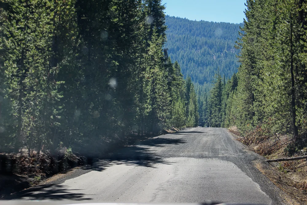
Looking for alternate outdoor options, I was reminded that the higher-reaches of the Newberry Volcanic National Monument were still left to be explored. And so, with a nephew and niece in tow, we took off down the 97, turning towards the Monument. After winding up the significant incline of the outer caldera, we flashed our “American the Beautiful” pass and entered the volcano.
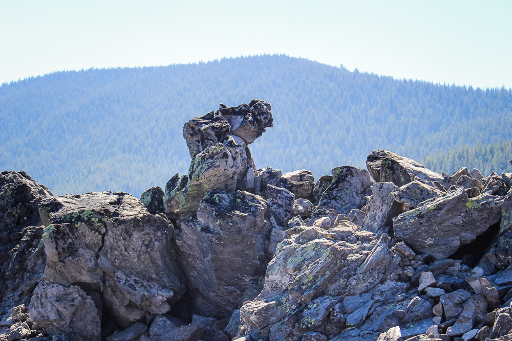
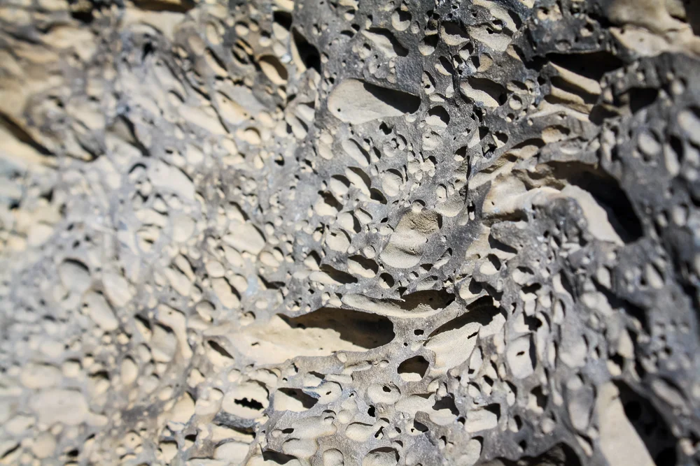
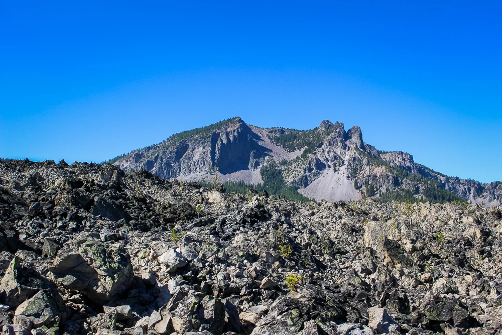
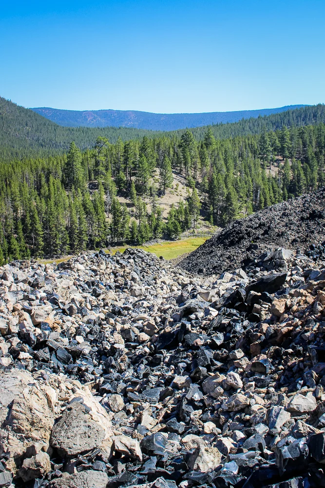
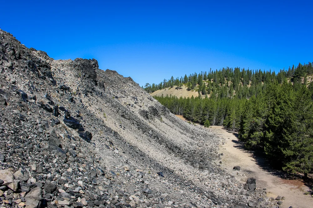
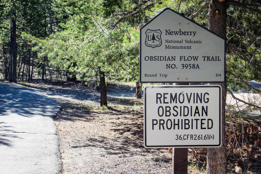
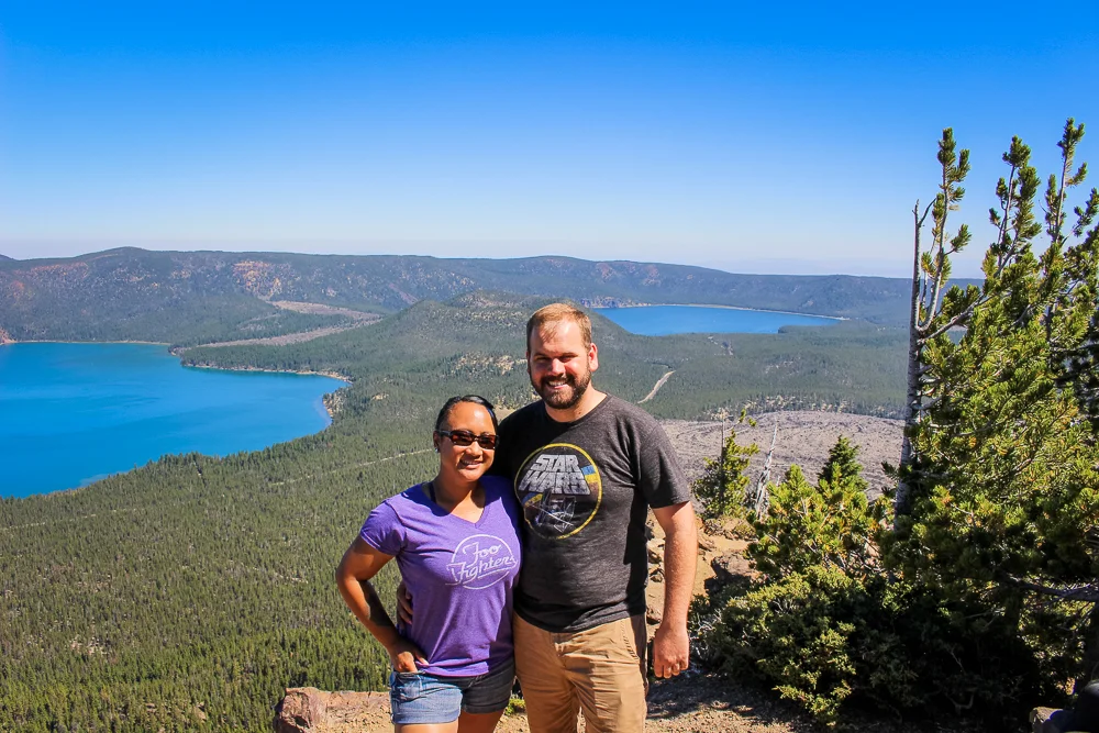
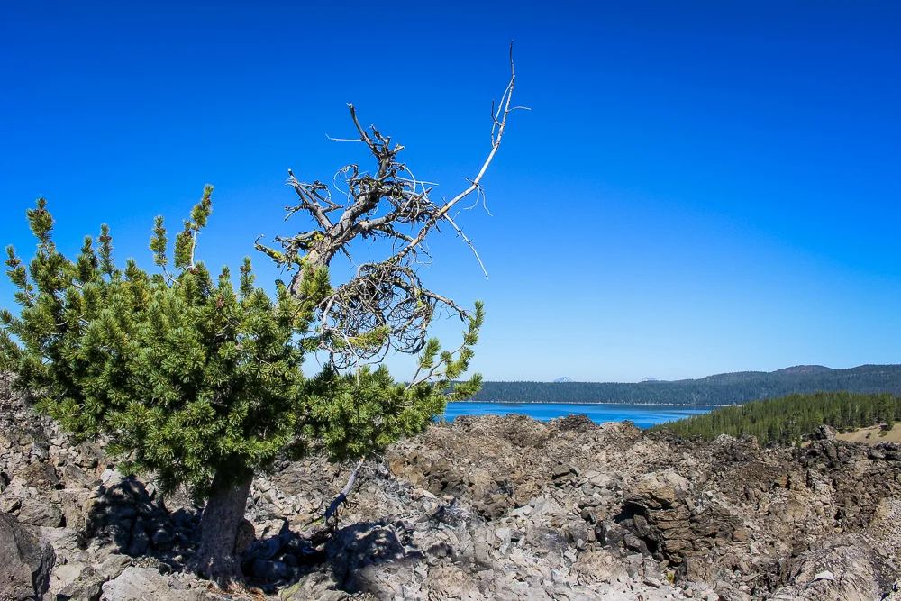
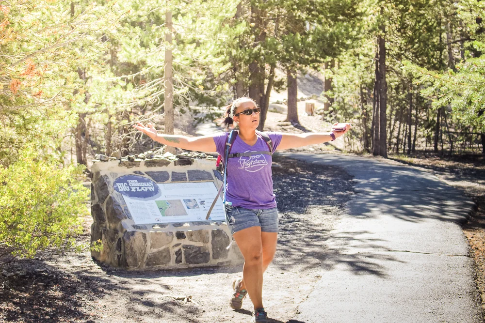
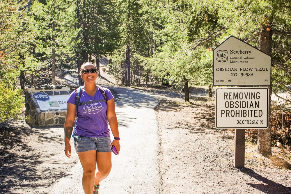
Now, if you’re like me, when you think of “entering a volcano”, what probably comes to mind is images of foil-laden scientists moon-walking against a backdrop of exploding lava. Not this volcano. The Newberry Caldera is a massive, forested bowl-shaped region. Similar to Crater Lake, to the south, the caldera has filled with water. Unlike Crater Lake, a secondary cinder cone has bisected the region into two lakes—Paulina Lake and the East Lake. On its southern edge, the caldera rises several thousand feet to the rather impressive Paulina Peak. Just below the peak is the Big Obsidian Flow, a massive curving lava flow twinkling with, well—with obsidian!
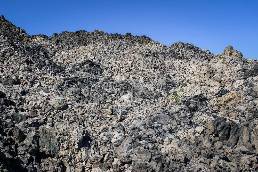
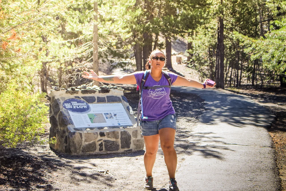
The Big Obsidian Flow was our first destination.
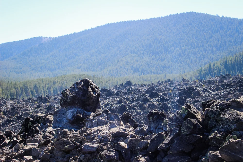
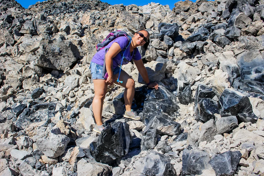
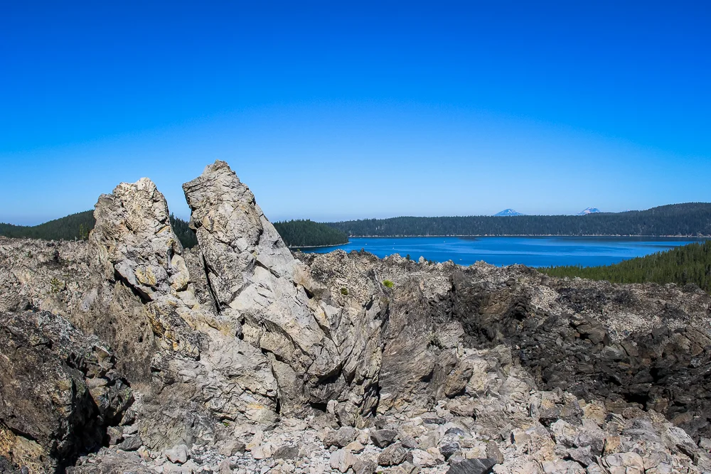
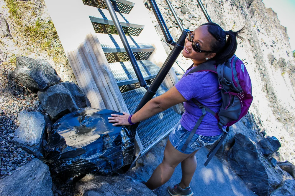
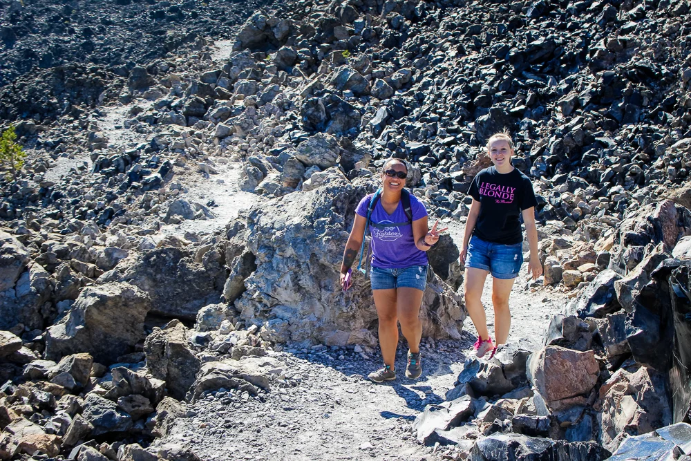
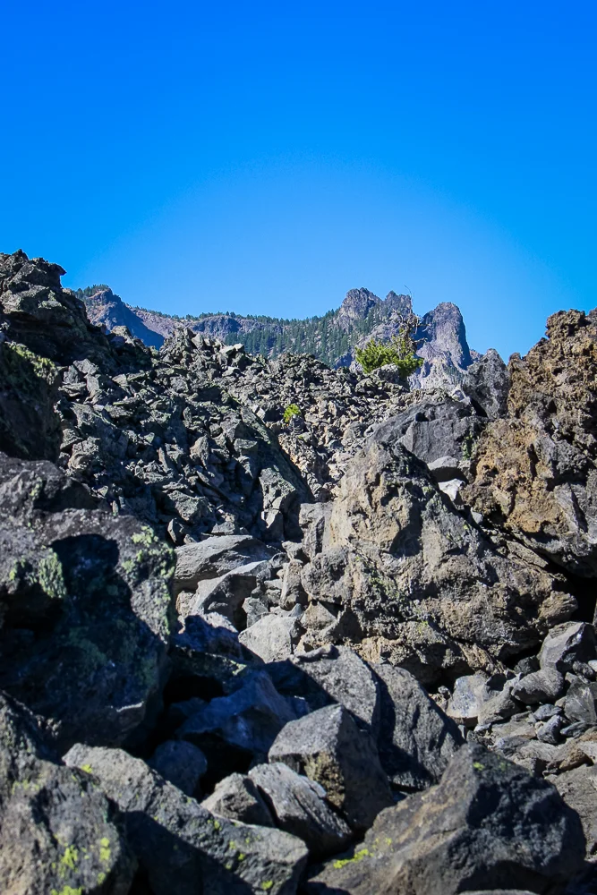
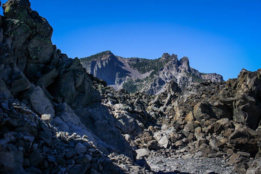
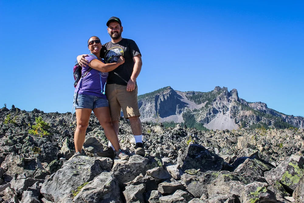
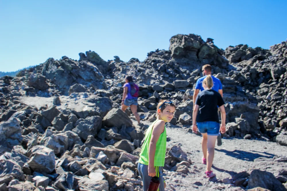
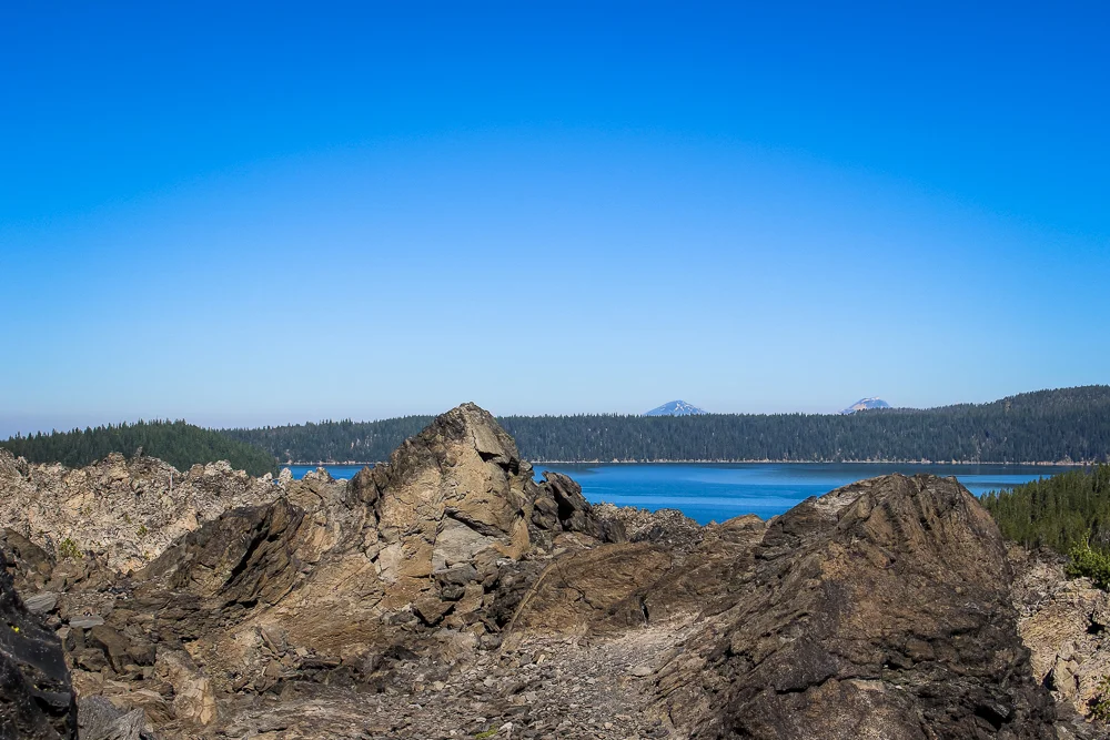
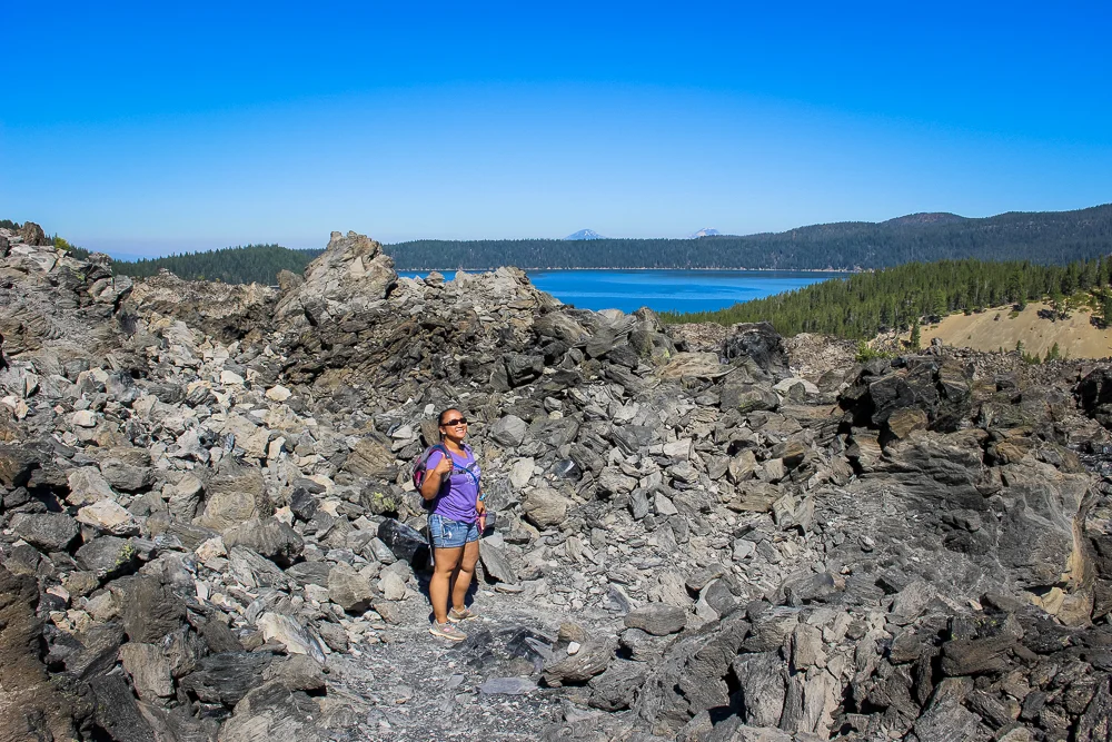
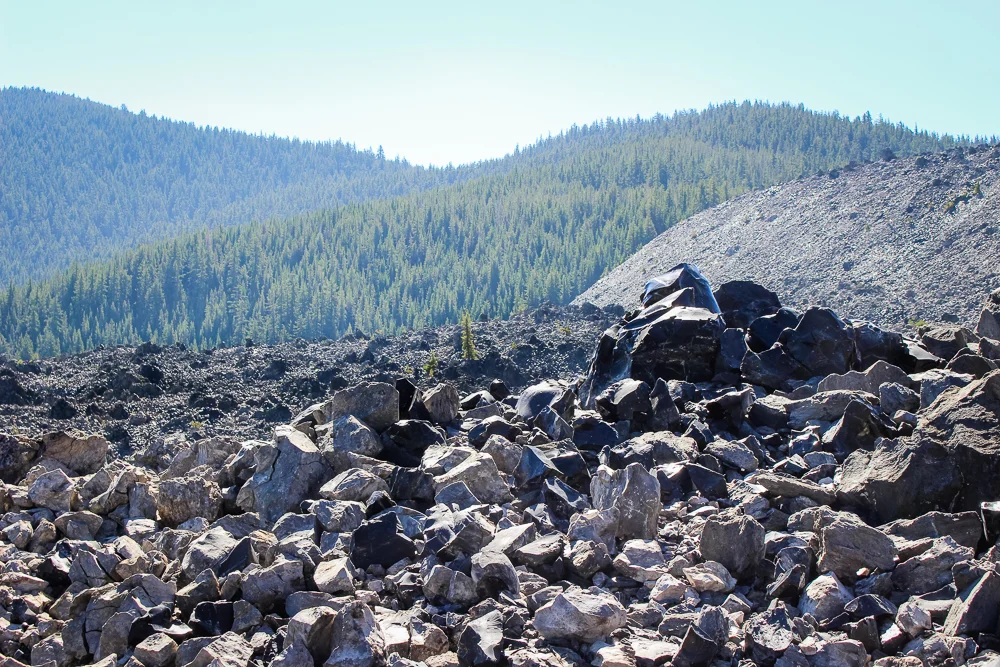
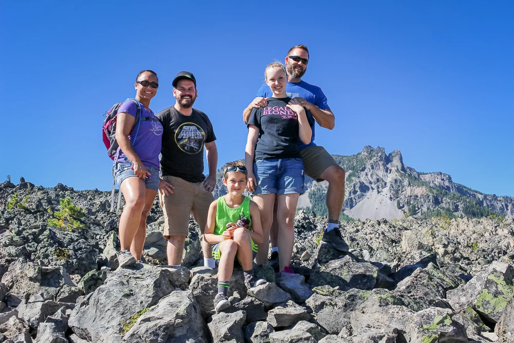
After parking, a trail takes you to the base of the flow from which we had to climb a bit. Once on top of the flow, we had a stunning view of Paulina Peak to our left and Paulina Lake to the right.
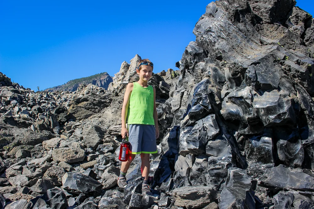
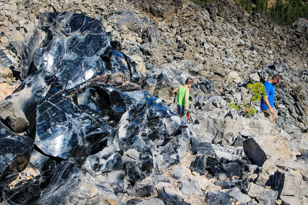
Like other lava flow trails, the Big Obsidian Flow trail is a loop-trail through the various impressive features. We got an up-close look at some beautiful obsidian rocks and, though tempted, resisted the urge to take any of the shiny stones for ourselves. What we did take is photos. Lots and lots of family photos.
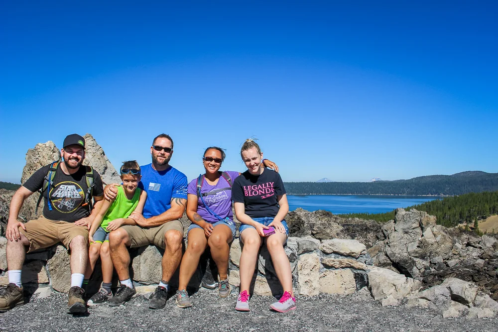
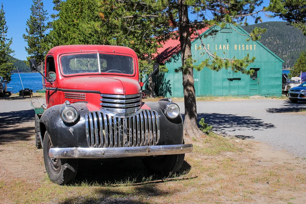
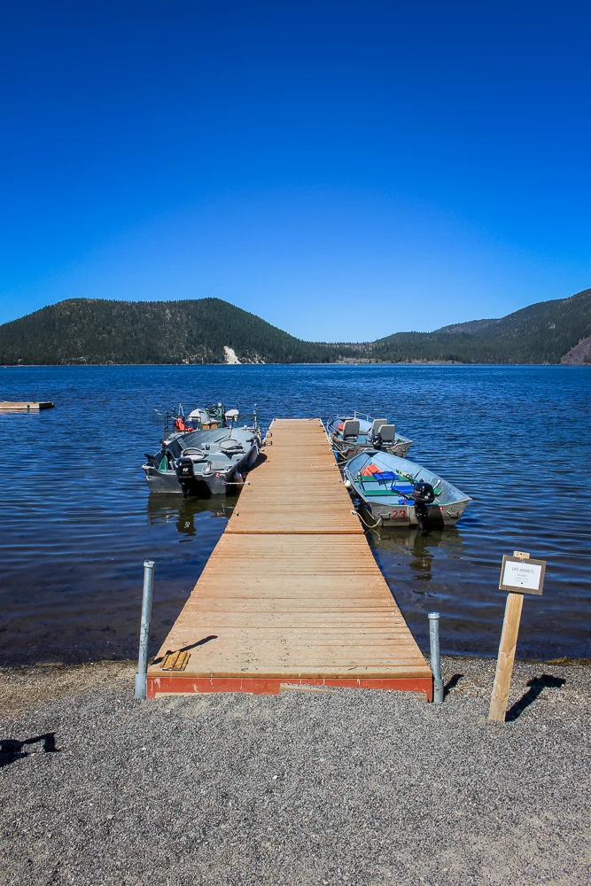
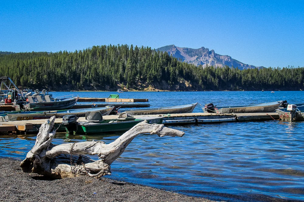
We then moved on down the hill to the East Lake, the smaller of the two lakes. There was a little resort on its edge with a quiet boating and fishing area. It was pretty peaceful. My brother, who after a decade of living in the area was visiting the Monument for the first time, made a comment about needing to come back.

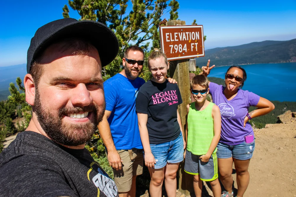
At the end of the road, but ready for more exploring, we doubled back towards the entrance of the monument. On the way, we had seen a side-road with signage posted for Paulina Peak and had our interest, well, piqued. I’m sure that the 2 1/2 hour hike to the top is an invigorating challenge, but so soon before lunch, a drive felt more appropriate way to access the top. We zipped up the road, eventually reaching the pavement’s end and the start of the real elevation gain. Our truck carefully buzzed up the gravel road on the outside of the peak, eventually reaching a small parking lot near the top.
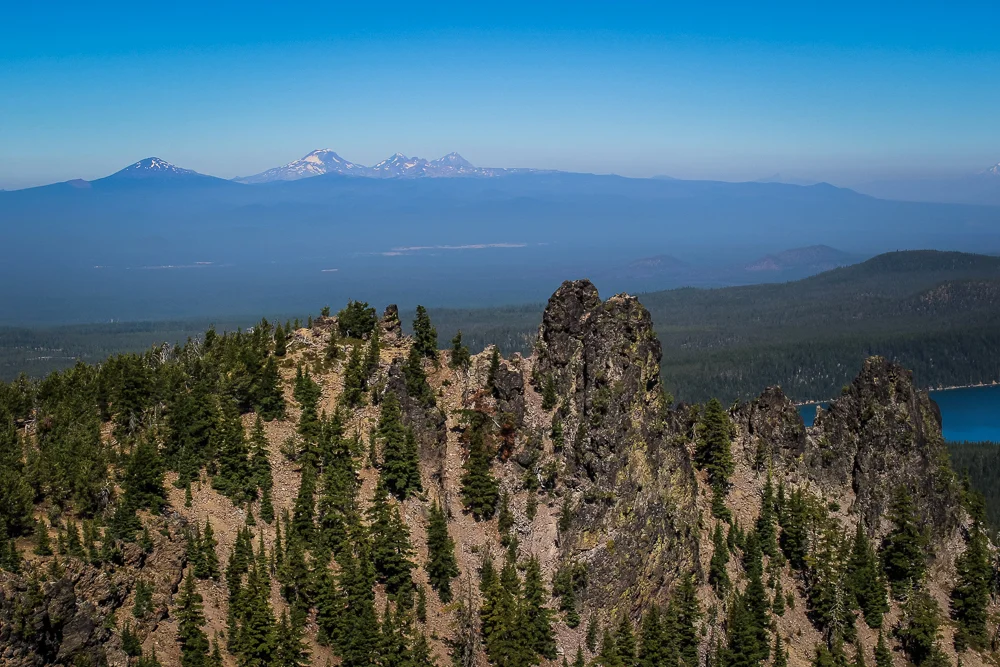
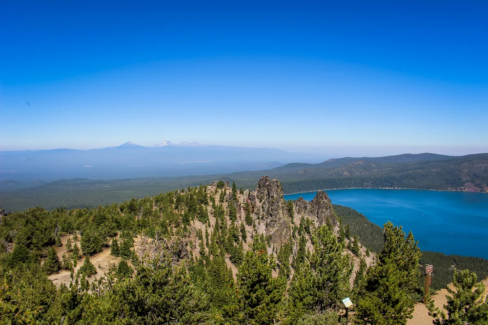
Some might say that driving takes all the thrill out of the journey, but I didn’t mind. As far as I’m concerned, being able to breathe when I reached the top made this view all the more amazing.
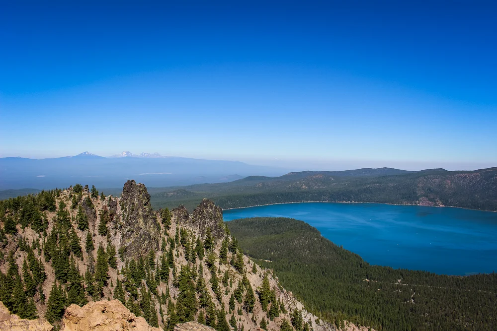
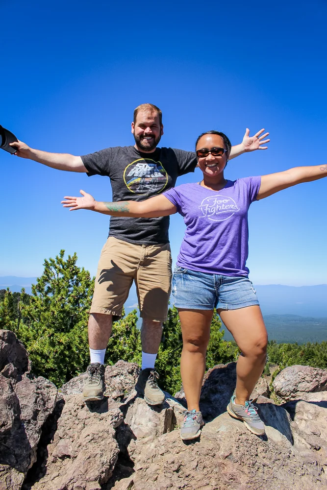
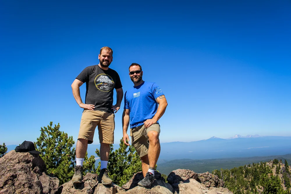
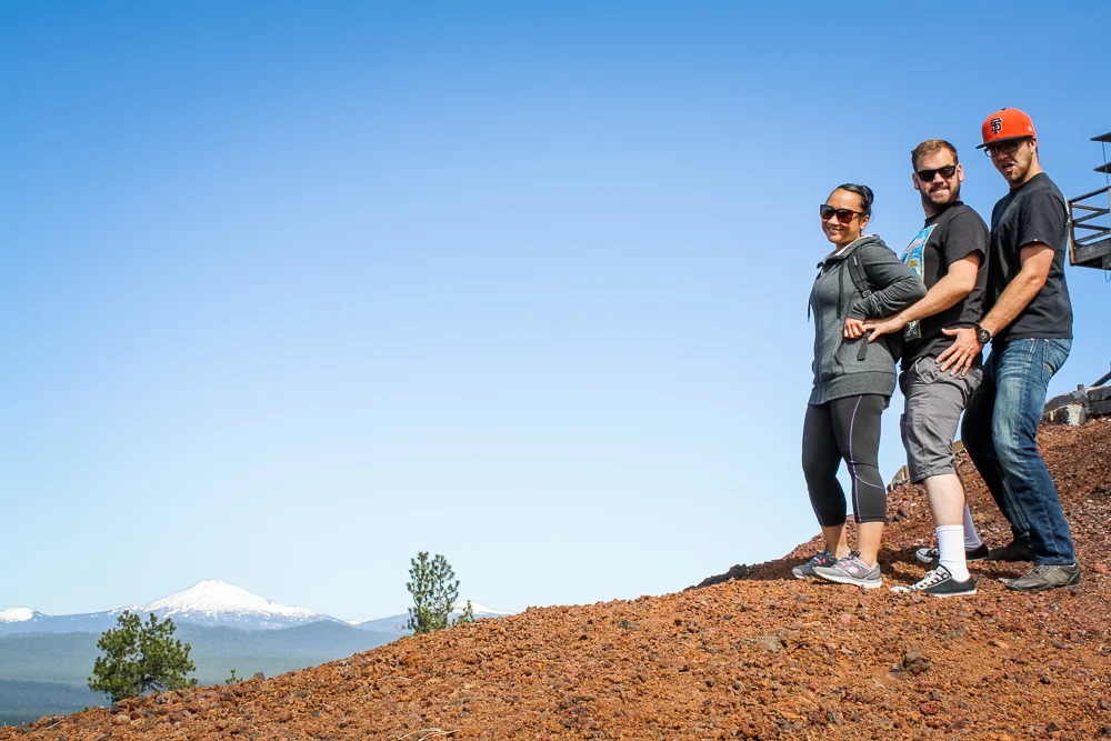
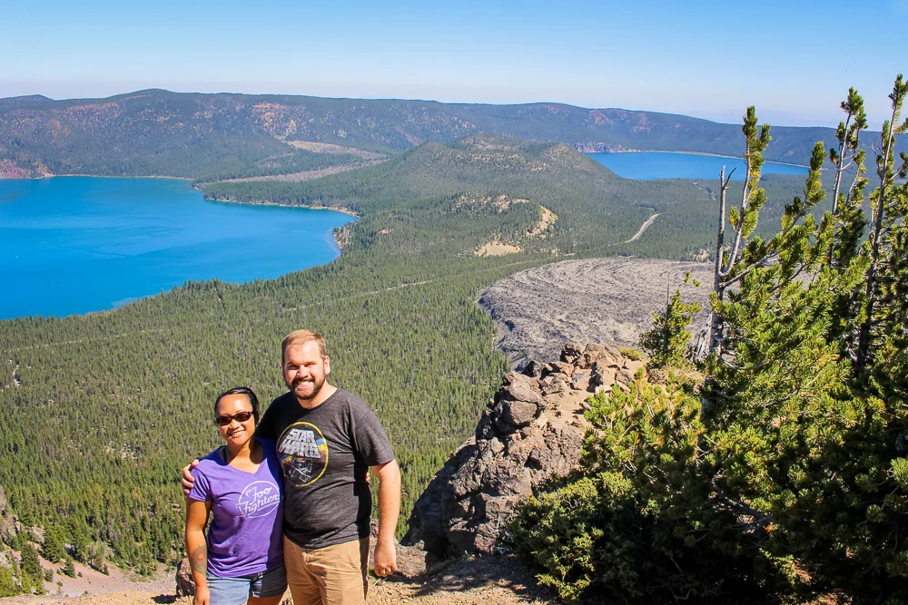
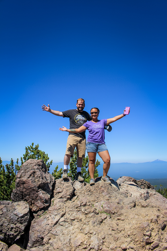
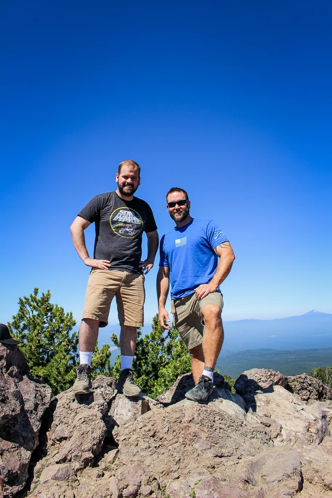
Like triumphant, proud climbers on the peak of a mountain just conquered (and all while my brother’s Toyota hummed and ticked with relief down in the lot) we posed for photos. We could see for about 200 miles in three directions and could see clearly to the Cascade Mountains in the west.
It was a great drive and a great vista. Happy with how the day was going, we returned to the car and descended back down to the caldera floor. Now, we were starting to get pretty hungry. However, we were also feeling particularly adventurous after all the exploring we had done. And so, we decided to stop for one more sight before leaving the monument: Paulina Falls (yes, everything in this monument is named after Paulina).
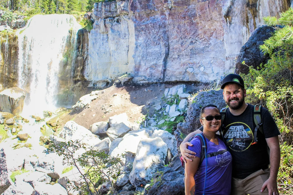
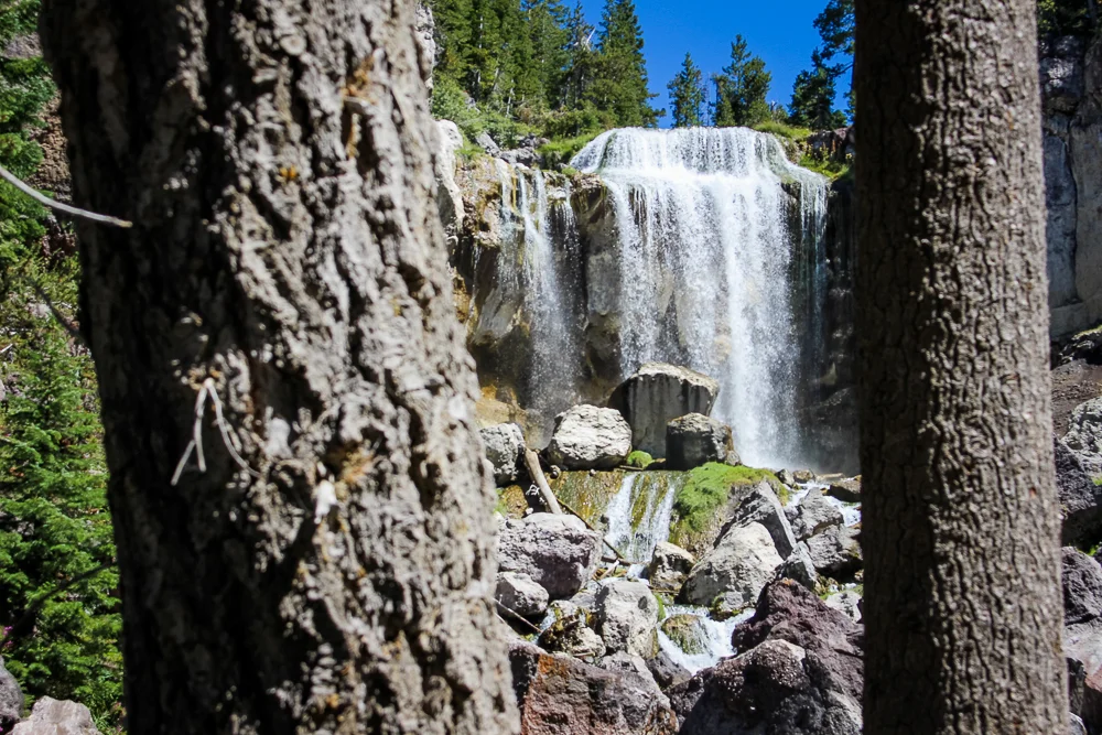
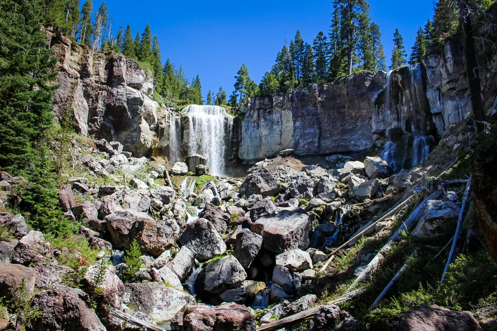
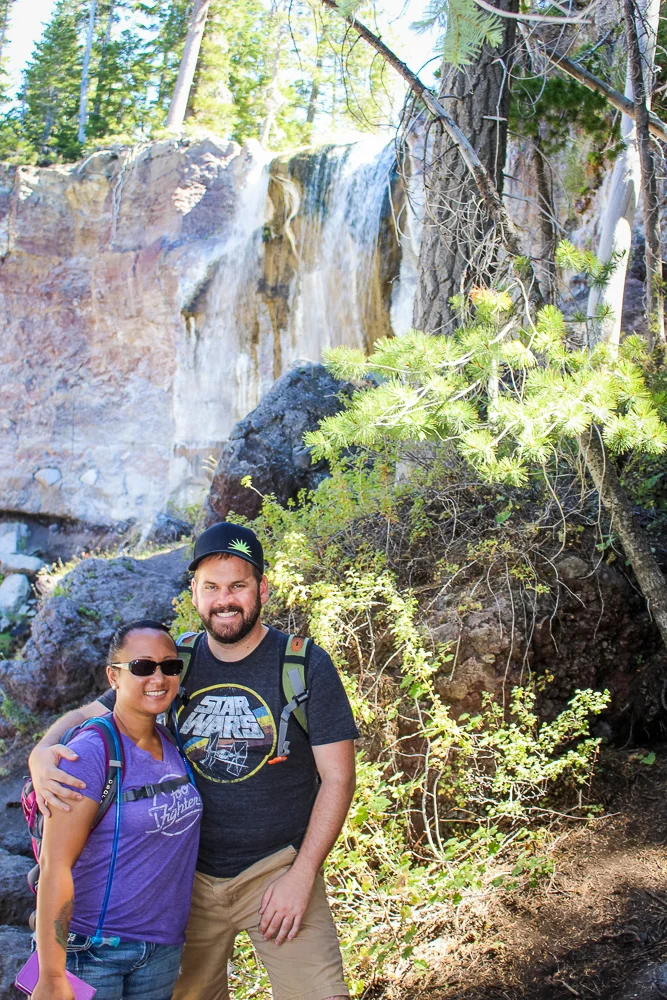
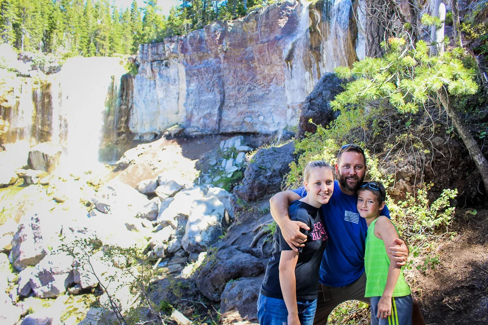
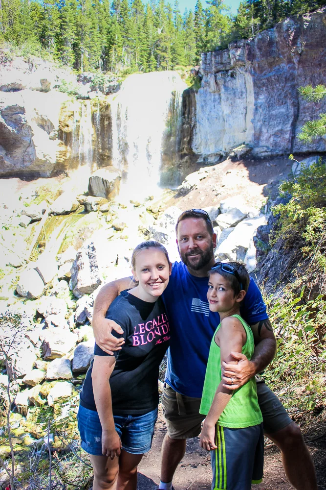
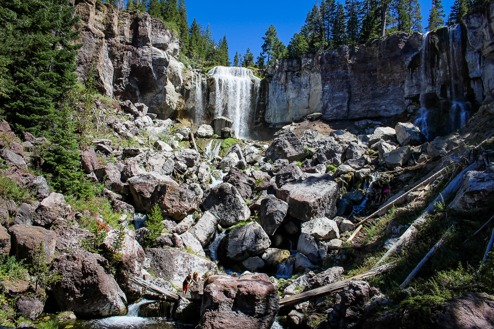
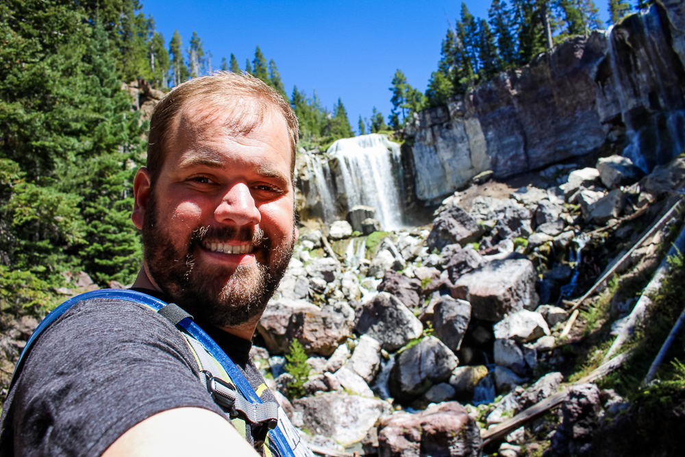
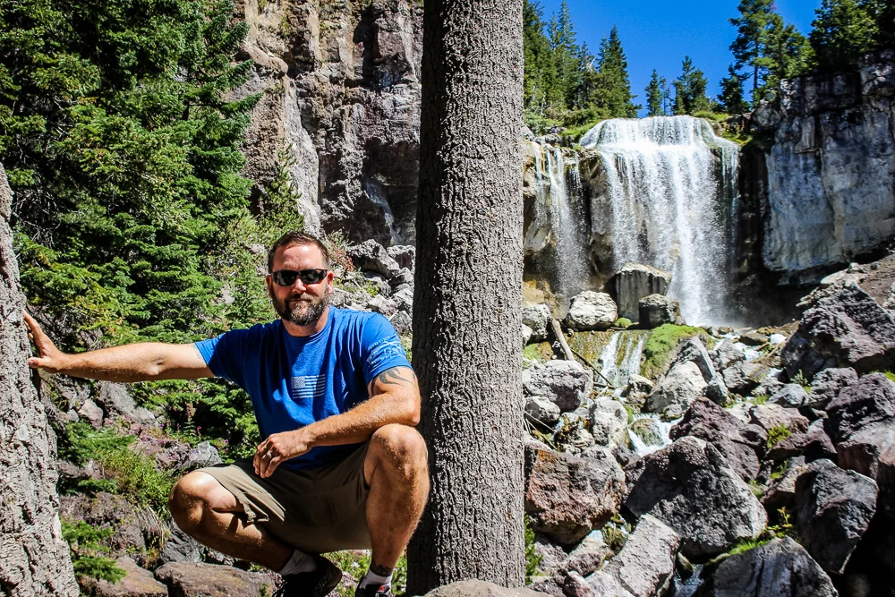
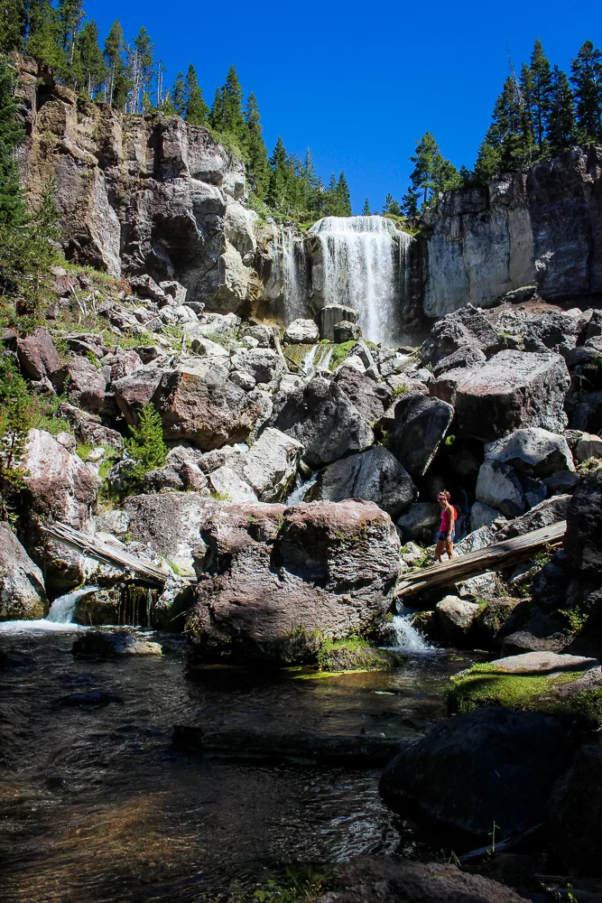
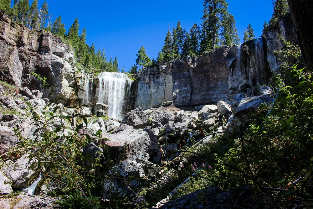
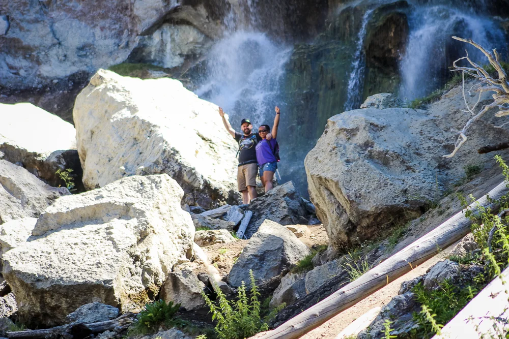
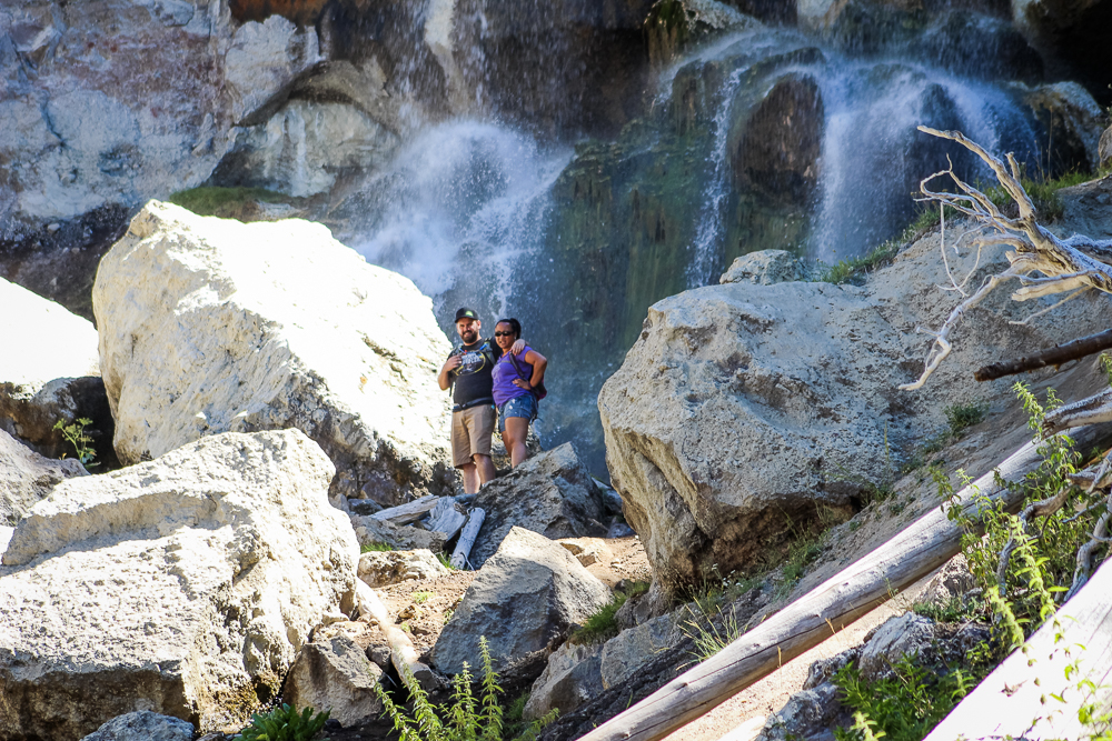
Paulina Falls is a medium-sized twin pair of waterfalls, just a bit downstream from Paulina Lake. It’s where the lake’s water tears out of the caldera and drops down into the valley below.
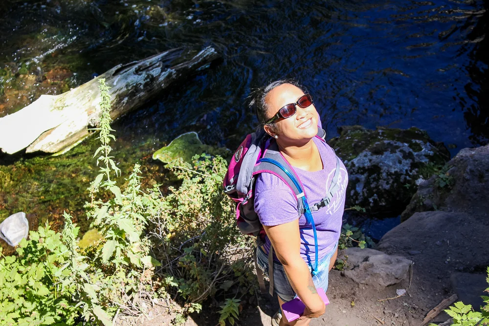
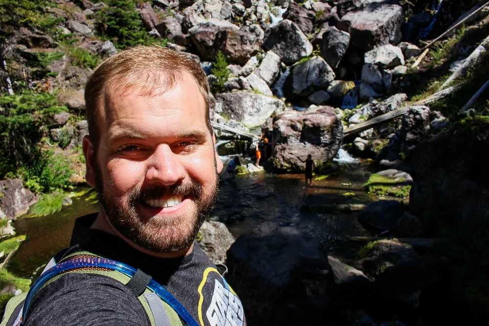
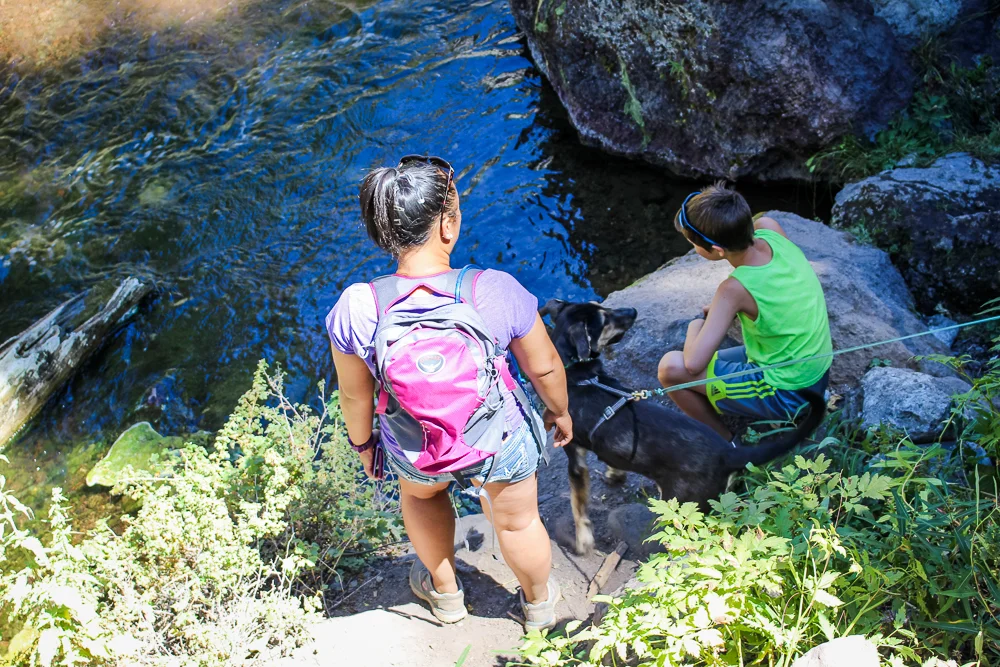
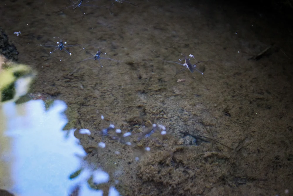
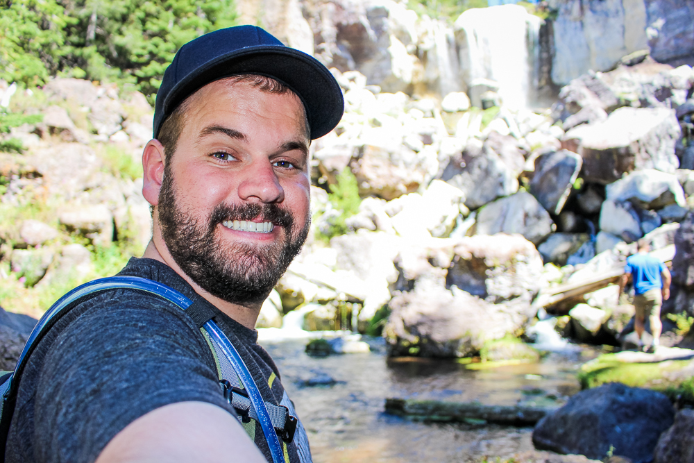
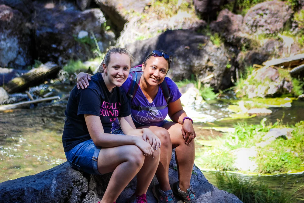
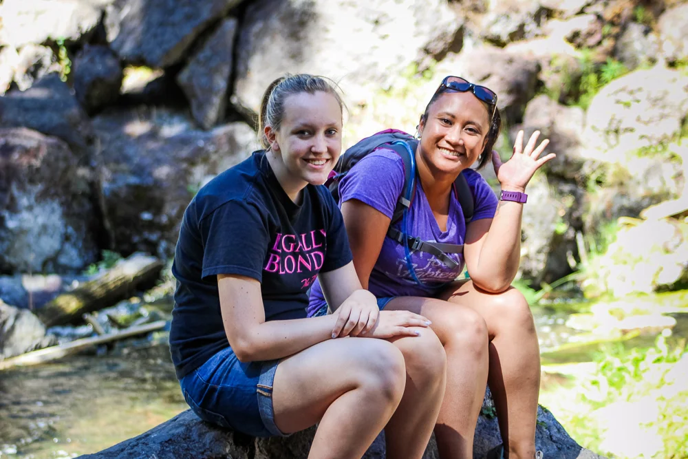
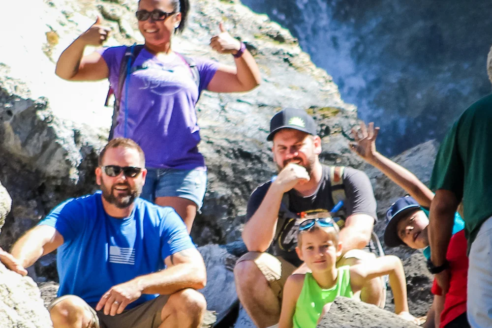
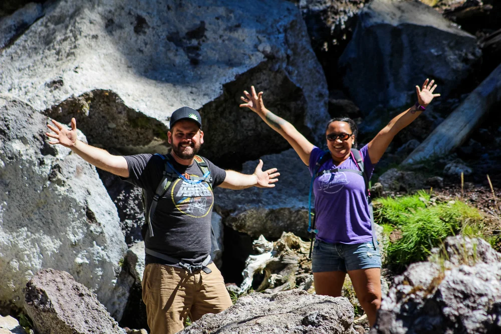
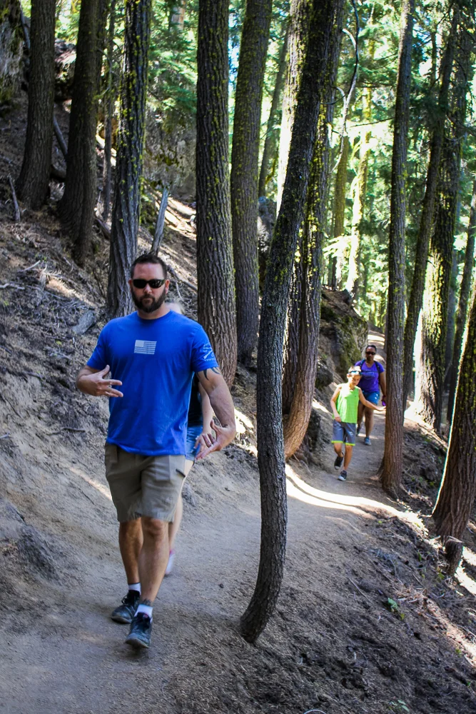
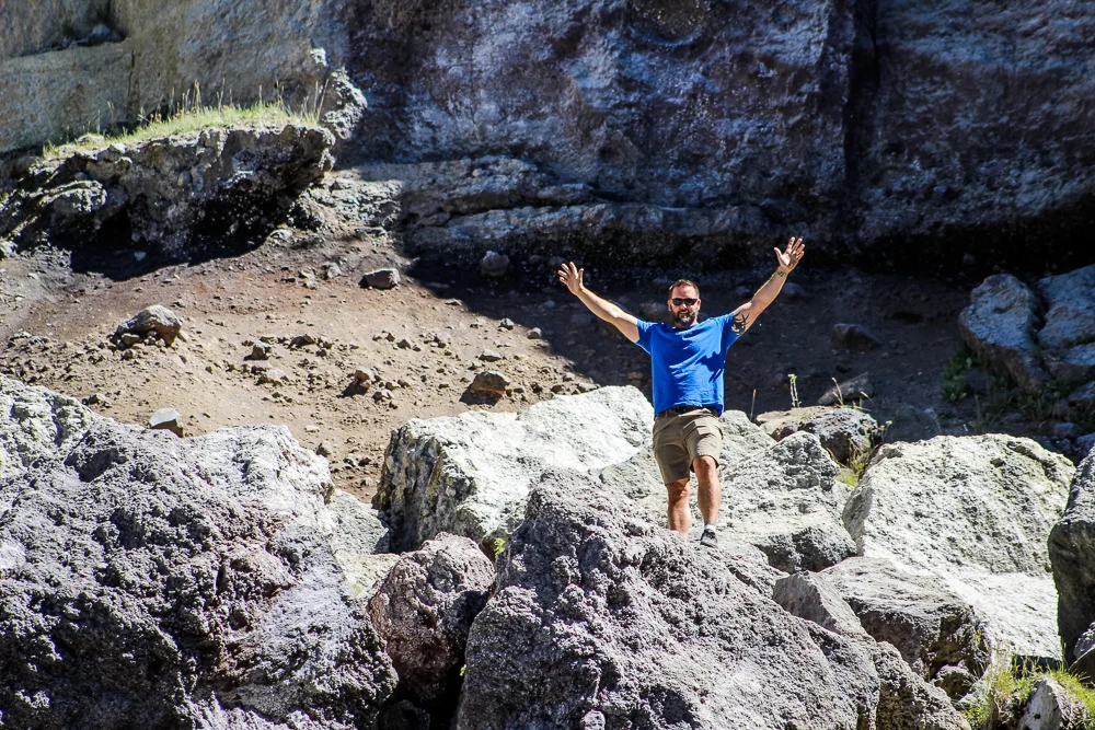
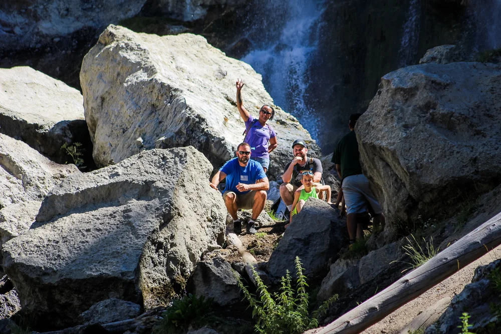
We parked and then hiked down an embankment to a landing below the falls. Seeing other parties trekking beyond the landing ignited the adventure within us and we took off up the rocky slope toward the base of the falls. The mist coming off of the southern falls felt fantastic as we trudged up the muddy hillside. Up top, we posed for a few photos.

We returned to the truck and began the winding drive back down to the valley floor. We were pretty pleased with how the day turned out and were equally pleased for the sandwiches that were awaiting us back in Bend.
The Newberry Caldera was a massive landscape, hidden from us in plain sight. This second trip was my brother’s first visit to the volcano and even he was impressed with the place. The Monument is hidden no more and is a destination we are sure to return to time and time again on our trips to Bend.
For more photos of our two trips to the Newberry National Volcanic Monument, check out the gallery below!