Visited April 2014
The California coast stretches for approximately 1,000 miles along the Pacific Ocean, an entire 10° of latitude across the face of the Earth. As you travel north or south, the climate, ecosystems, and even Californian culture changes. The coast in Southern California, from Malibu to San Diego, is urban and known for its sunny beaches, glitzy homes, and surf. From San Fransisco to the Oregon border, the Northern Californian coast has darker, driftwood covered sands, Sonoma wineries, and coastal redwoods (literally the forrest moon of Endor).
Along the Central Californian coast, you are able to drive this transition from one to the other in a way that takes the very best of both. Sand and surf meets rugged, redwood covered state parks. Vertical cliffs, hundreds of feet tall, crash into the Pacific a few miles away from the soft, rolling expanses of wine country. A few unique towns and cities are strung along the highways like bells, each ringing with their own tone. Most of the central coast is isolated and a perfect haven for wildlife of all varieties.
It is for all these reasons (and many more) that in the spring of 2014, Cindy and I decided to make the drive up the coast along Highway 1. Traveling at a steady pace, the journey from Los Angeles to San Jose was easily slotted into two days. However, poor planning left us unable to complete the famous Big Sur portion of the trek. Ironically, it was an unlucky turn of events on a trip this year that allowed us to complete the drive—but we'll get to that later.
On this trip, we drove north along the yellow route. You can see the moment that we had to bypass Big Sur, leaving the coast for an inland route.
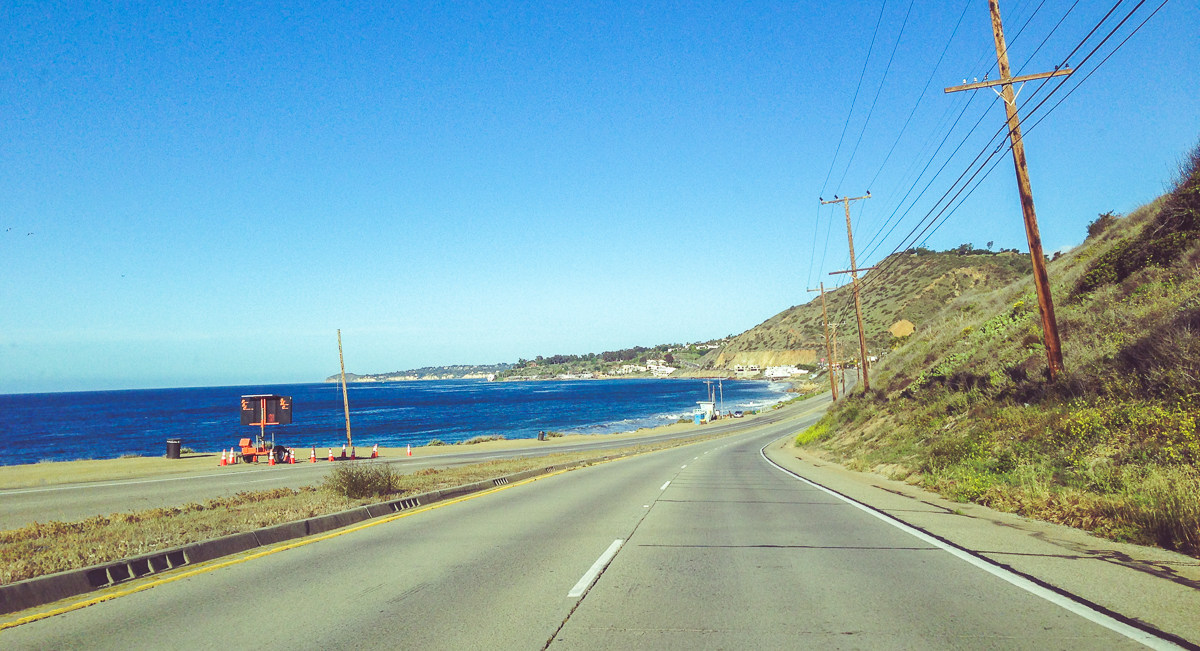
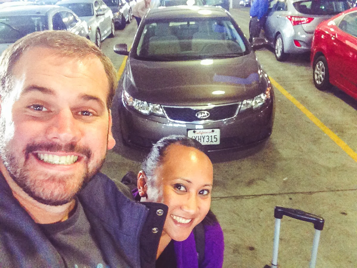
Our road trip started at an airport, of all places. Hoping to make the most of a short weekend, Cindy and I rented a car at LAX in order to drive north, one-way (and fly back, for efficiency). Once reaching Santa Monica in our rented Kia we transitioned to Highway 1, which hugs coast as closely as possible, a decidedly more appropriate route for our road trip. Only a few miles beyond Malibu and all of Los Angeles seemed to fade away behind us.
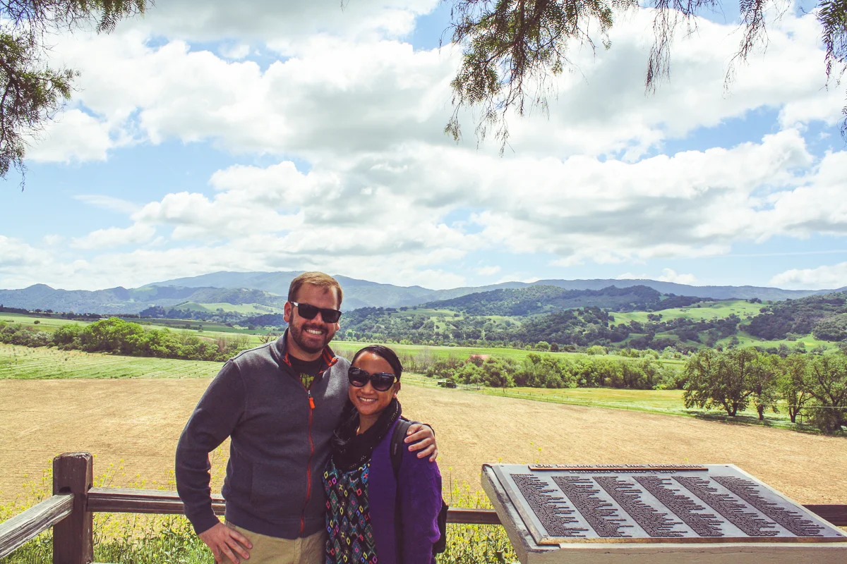
We stayed along the coast through Oxnard, Ventura, and Santa Barbara before turning right, punching it across the mountains into the Santa Ynez Valley. Once there, we turned left onto Highway 246 and stopped at our first destination, Solvang.
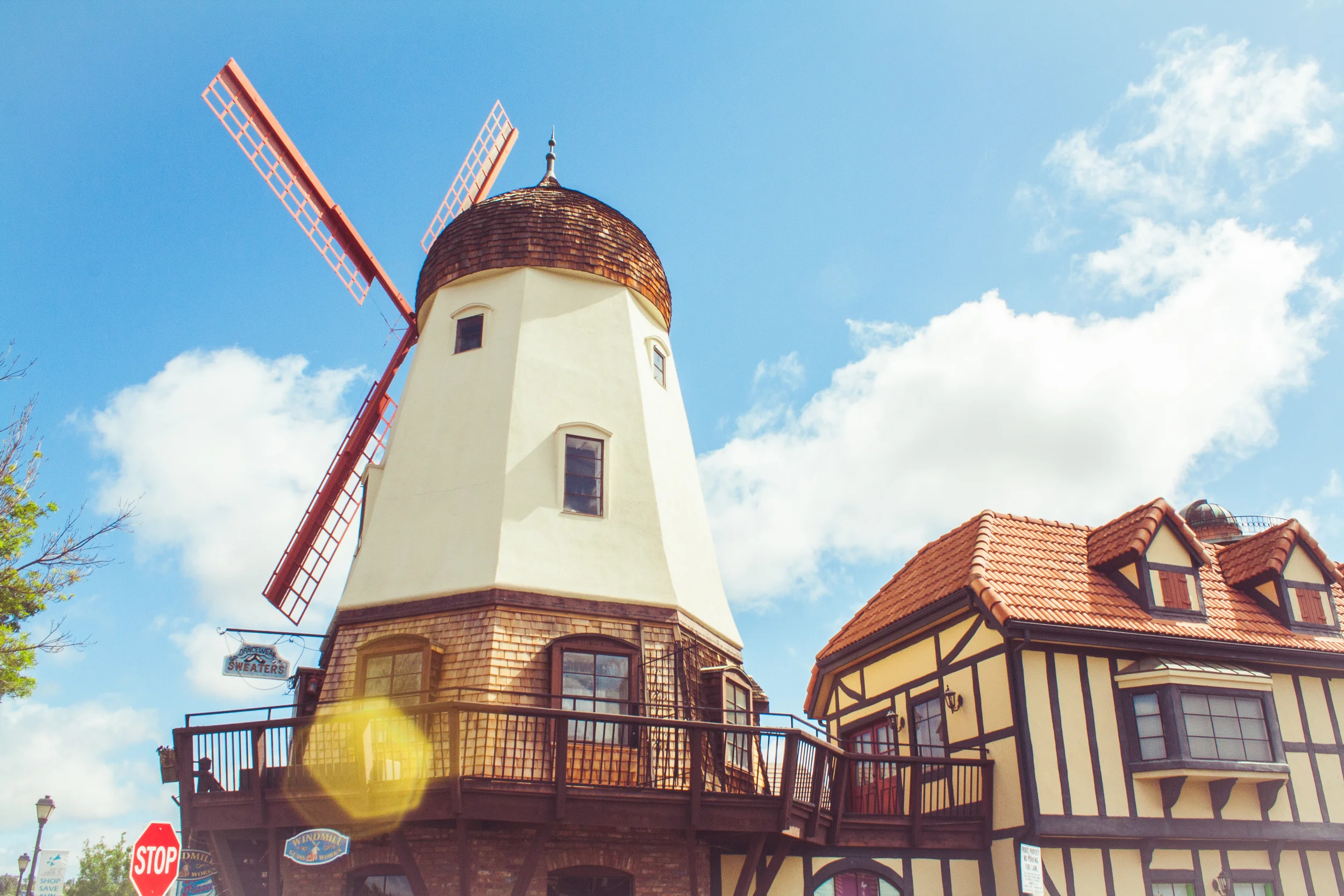
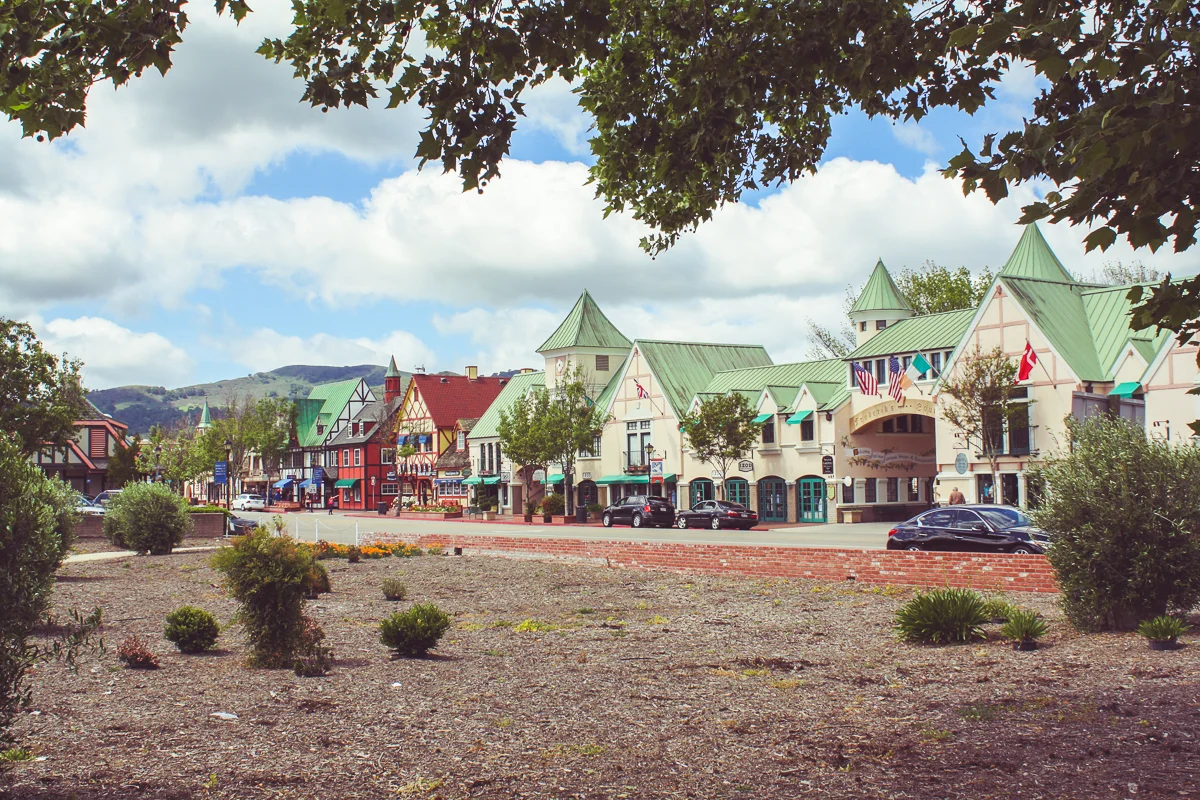
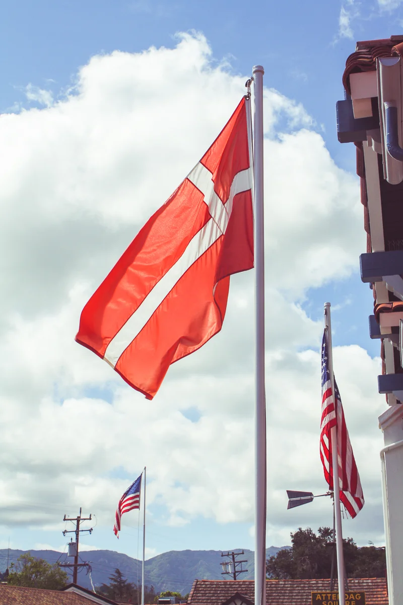
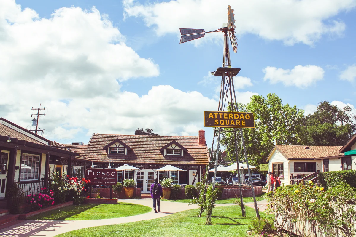
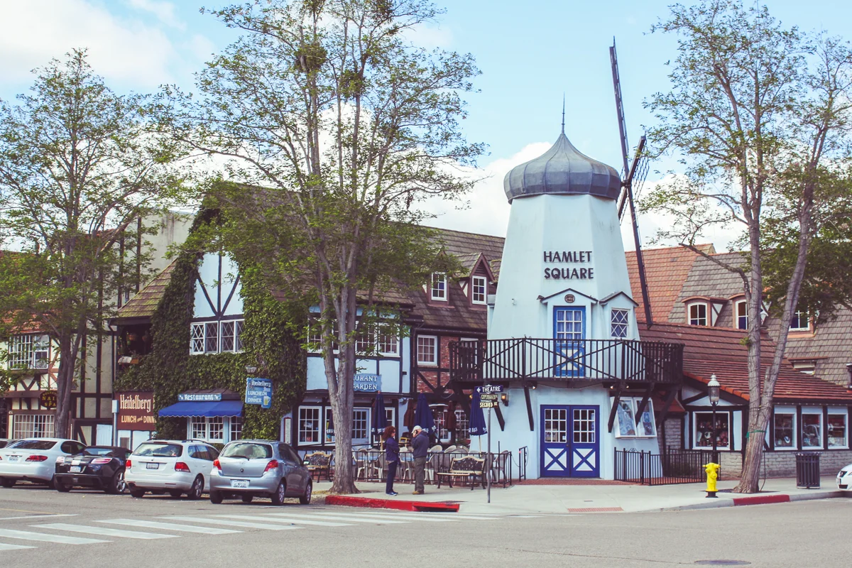
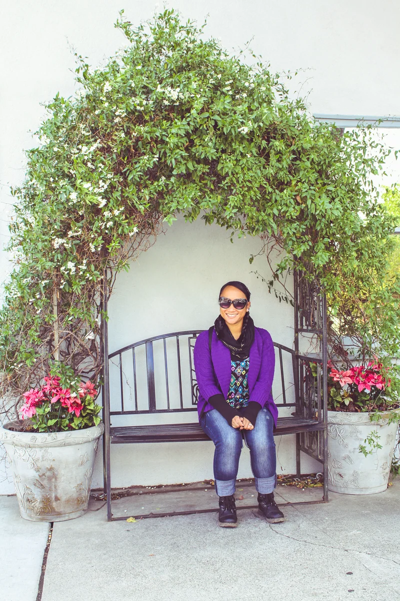
Solvang is a strange, west coast anomaly. It is a small town built in the fashion of Danish architecture, complete with fake thatched roofs and windmills. Solvang was originally founded over 100 years ago as a colony for Danish settlers. A generation later, a few Danes began to build or remodel their houses to appear more traditionally Danish. They realized their actions were attracting curious tourists and decided to go all-out. Throw in some bakeries, wine tasting, and a few bed-and-breakfastes and you get a bonafide weekend getaway town 2 ½ hours from Los Angeles.
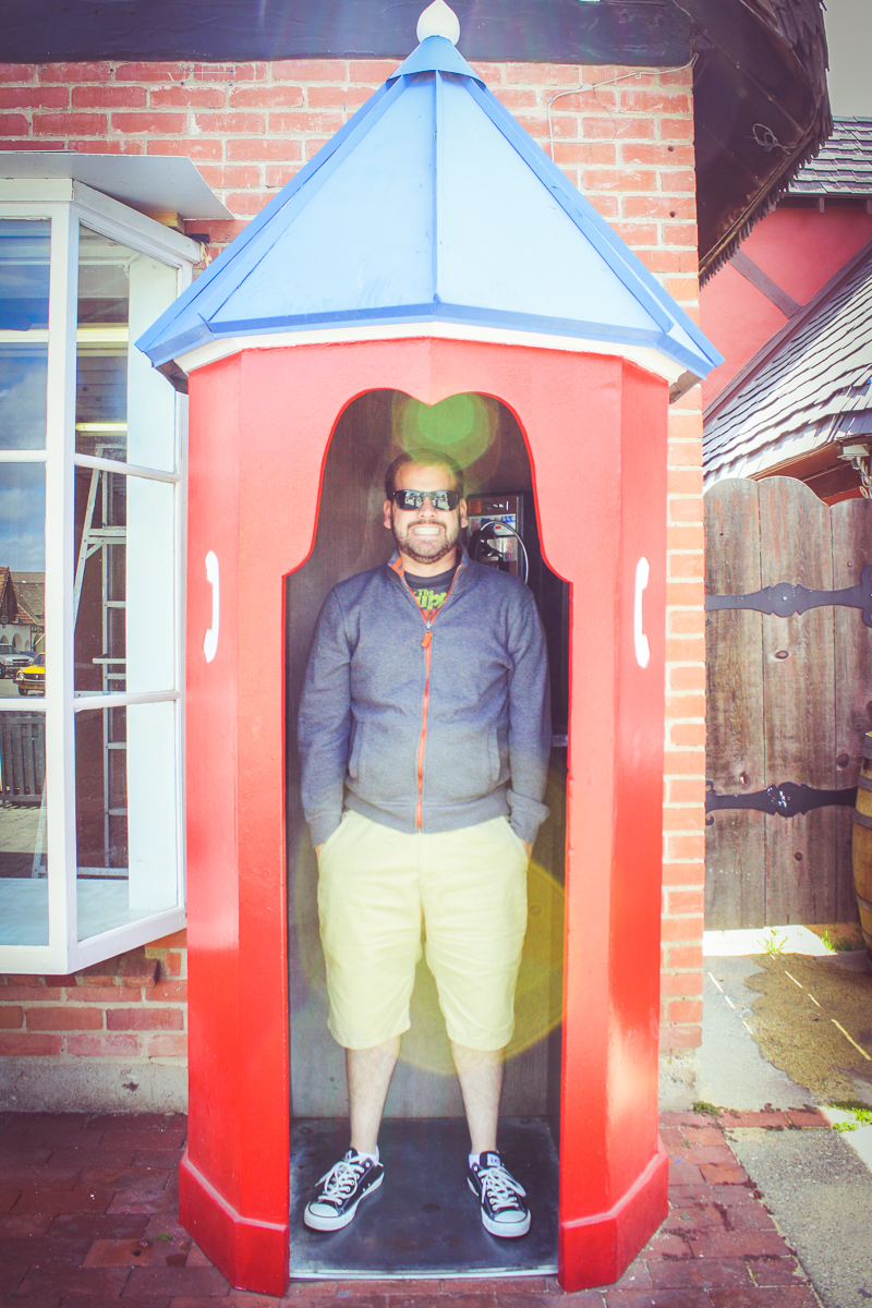
Of course, Cindy and I only had about an hour to explore.
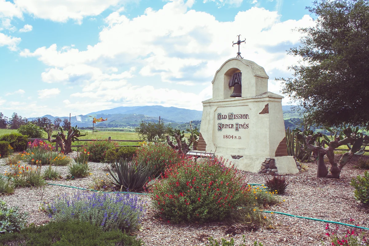
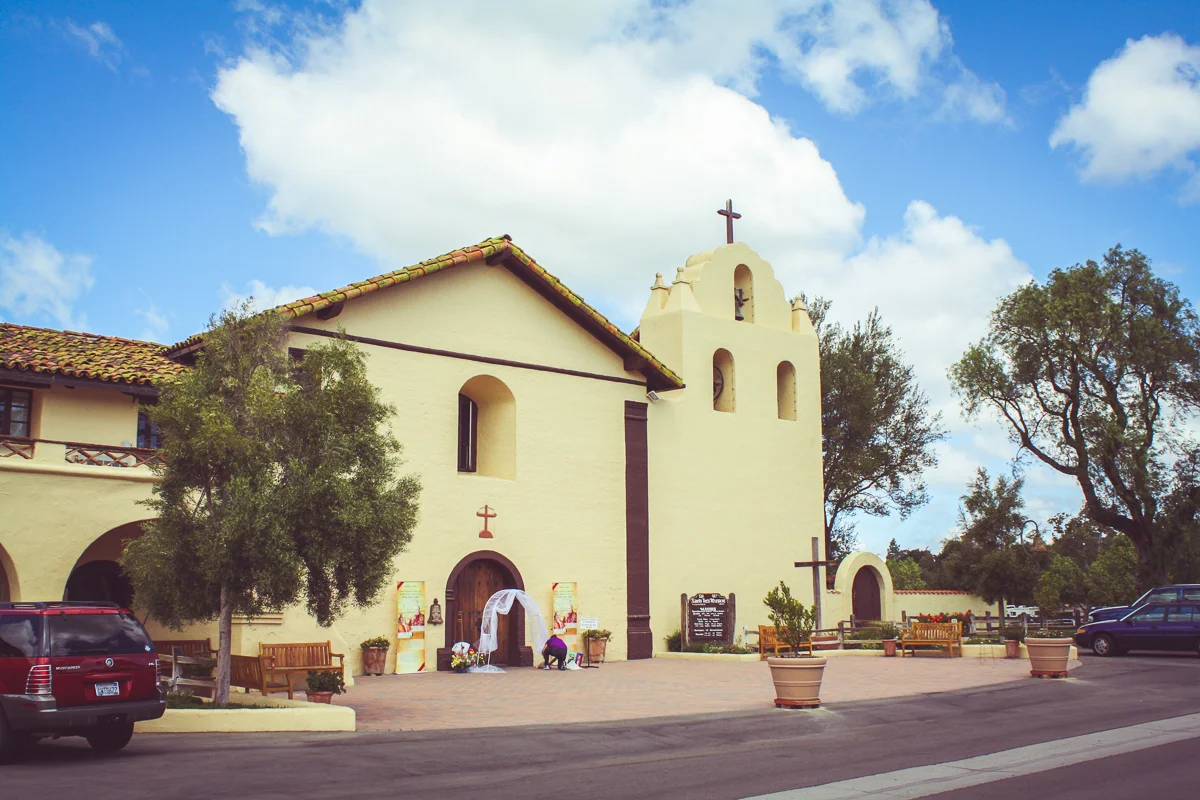
Just beside Solvang's main street is the Mission Santa Inés, one of California's twenty-one missions built by Spanish colonists from 1769 to 1833. A topic of heavy focus (and of Styrofoam models) for every Fourth Grader in California, the mission-system is a unique historical counterweight the formation of the thirteen colonies on the other side of the country.
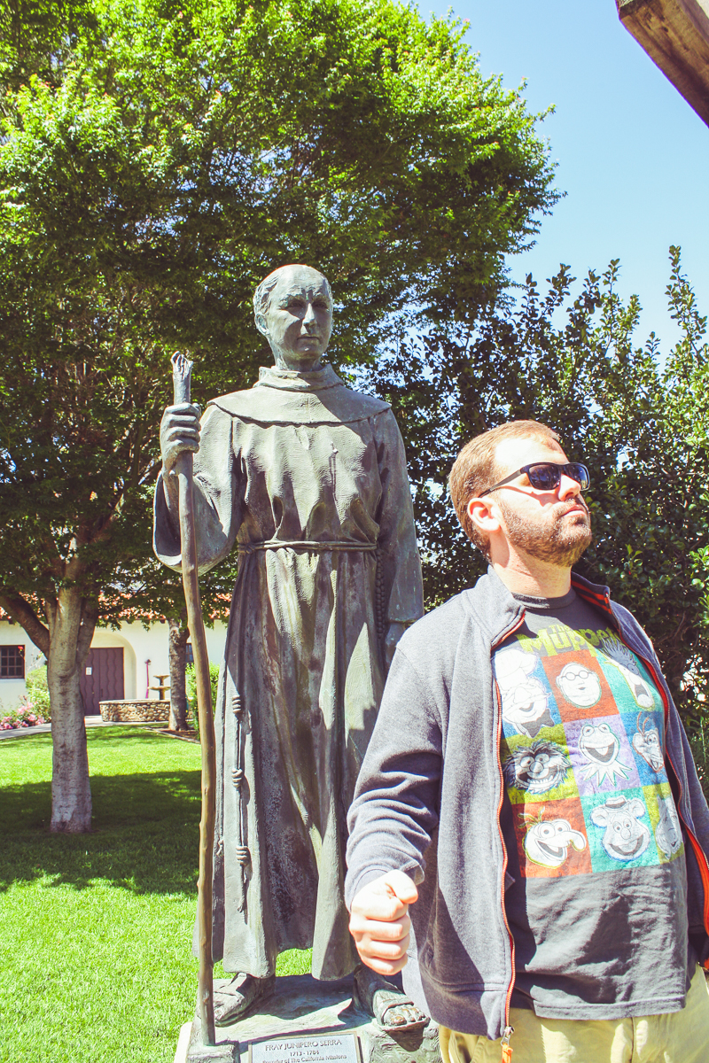
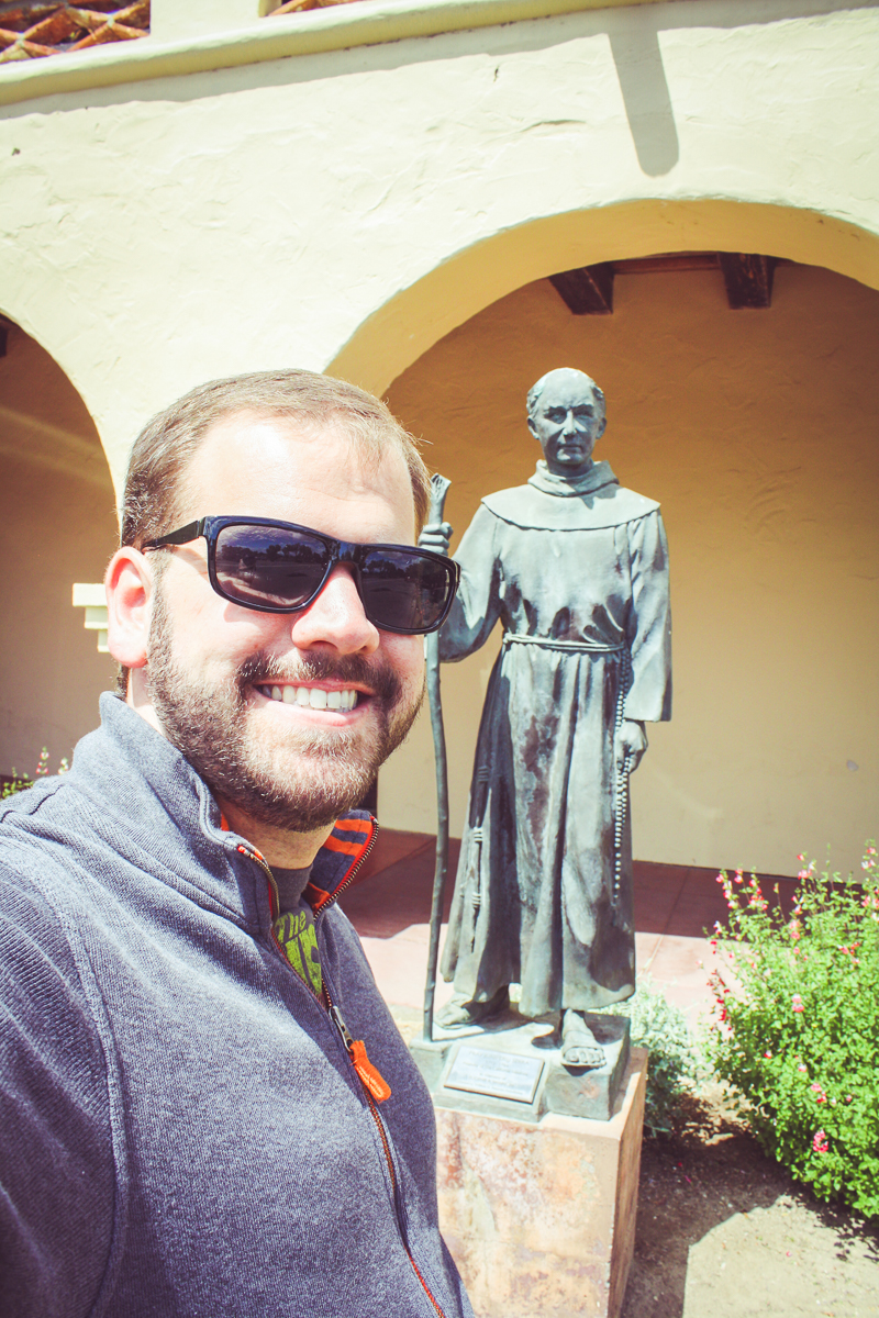
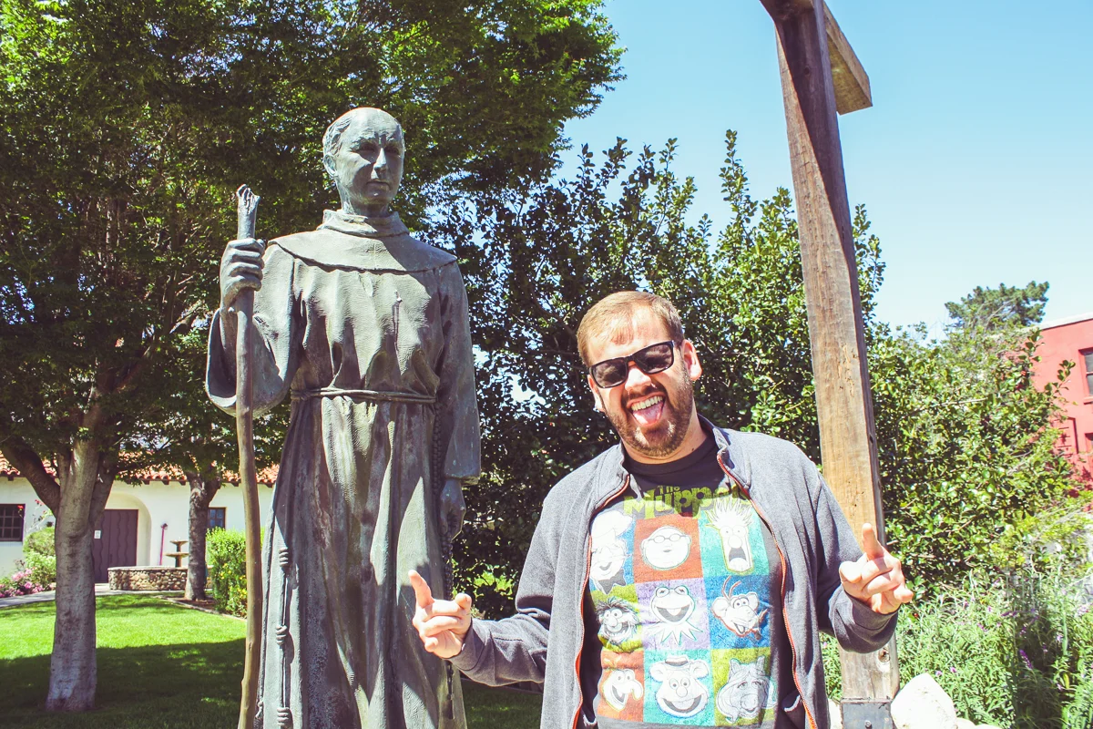
One of these days, I plan on doing a California Missions trip with the goal of zig-zagging up the coast to each one. This is despite the fact that they're all pretty much the same: adobe construction, a hybrid of a historical monument and an active Catholic church, an icon of a romanticized history of civilization (and subdued history of how terribly Natives have been treated by everybody), and usually a row of school-busses out front. Oh, and a statue of the original Franciscan Father-Presidente, the Reverend Junípero Serra.
Most people collect merchandise, or stamps, or coins. I want to collect selfies with that guy.
For all of Solvang's fake facades and genuine beauty, it was time to move on. We chose to pass on a visit to the local ostrich farm and continue back along the 101 freeway to Pismo Beach.
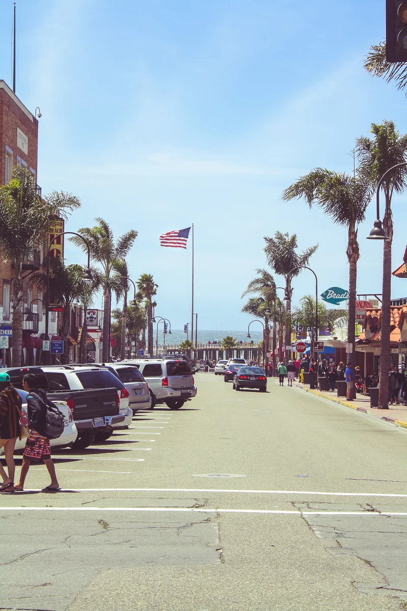
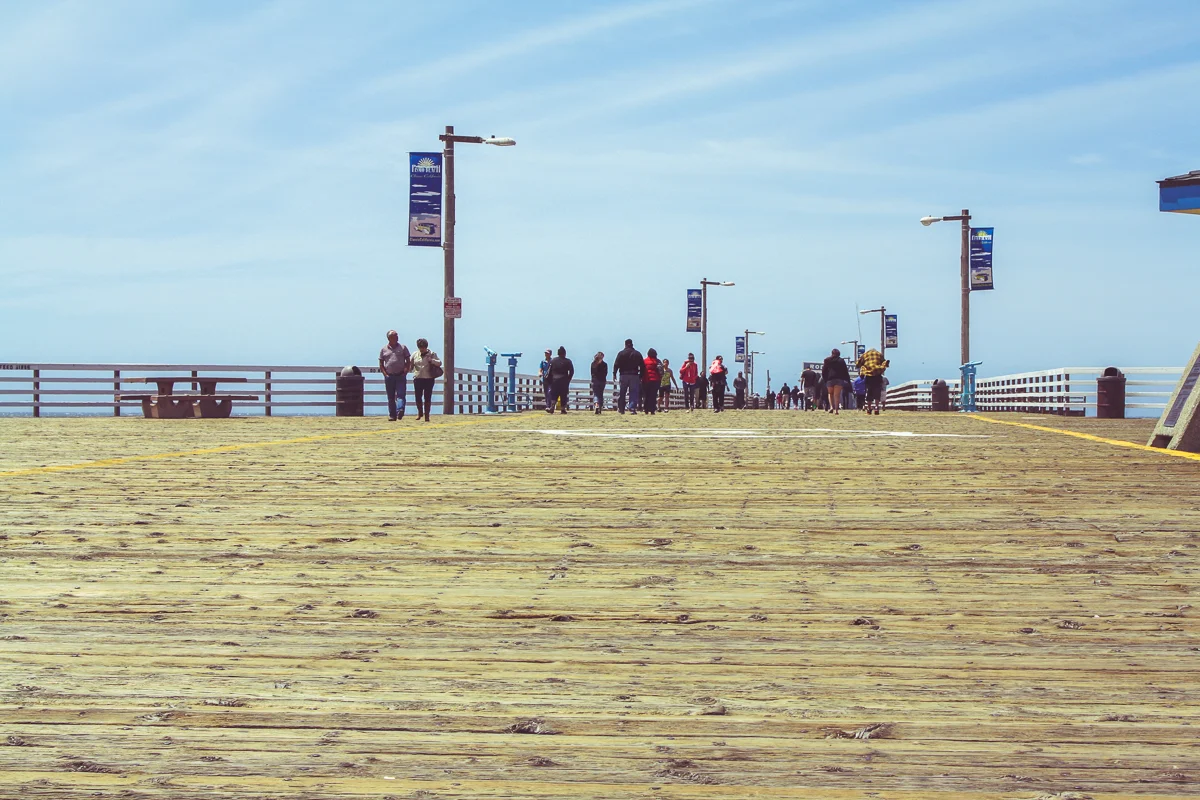
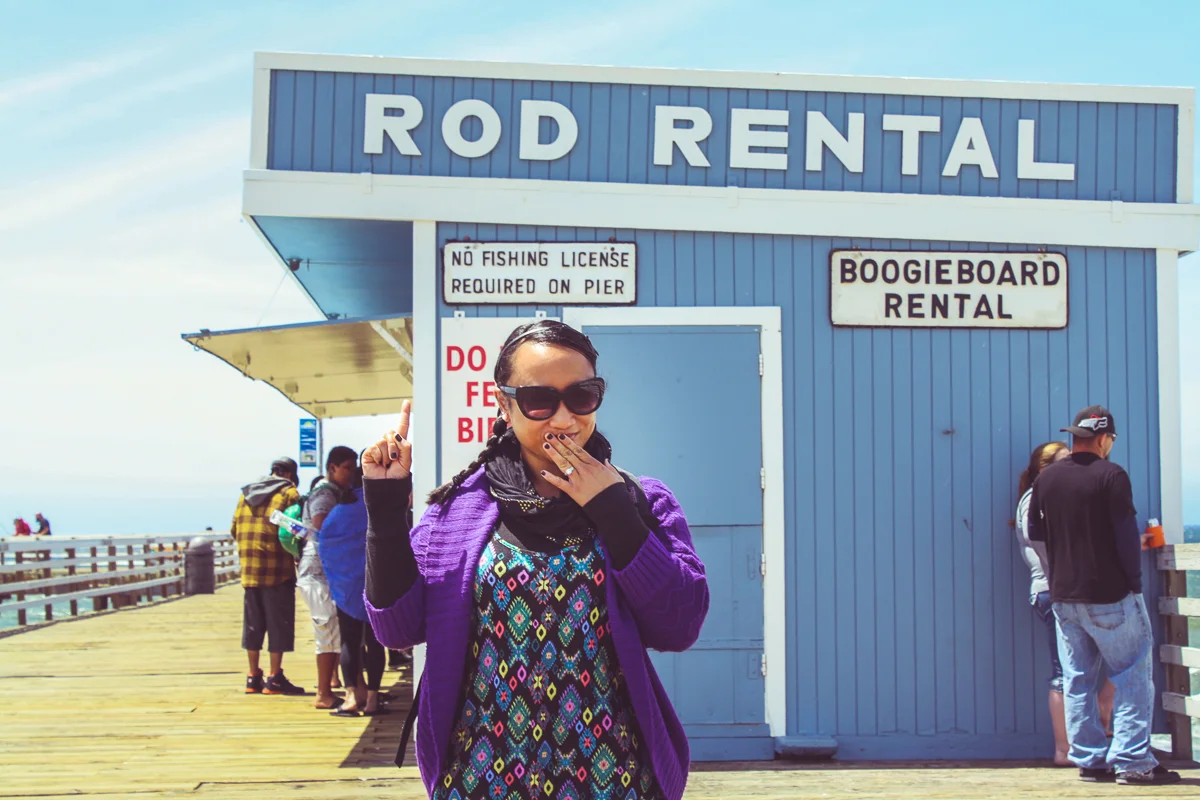
Remember all that exposition I started with on witnessing the transition from Southern California to Northern? Pismo Beach is a great example of that as it's pretty much the northern-most "So Cal" beach there is. Near the pier, the town is a colorful collection of surf-shops, skate-shops, beach-shops, restaurants and bars.
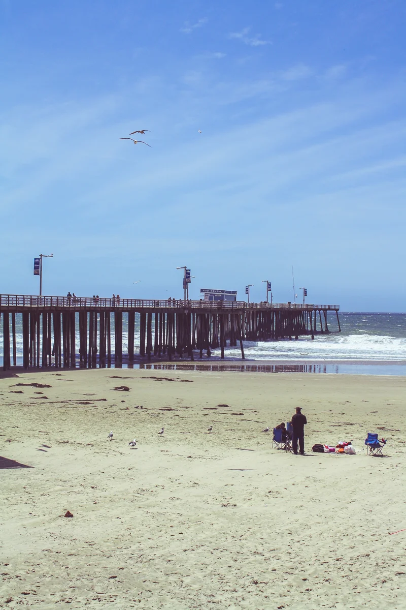
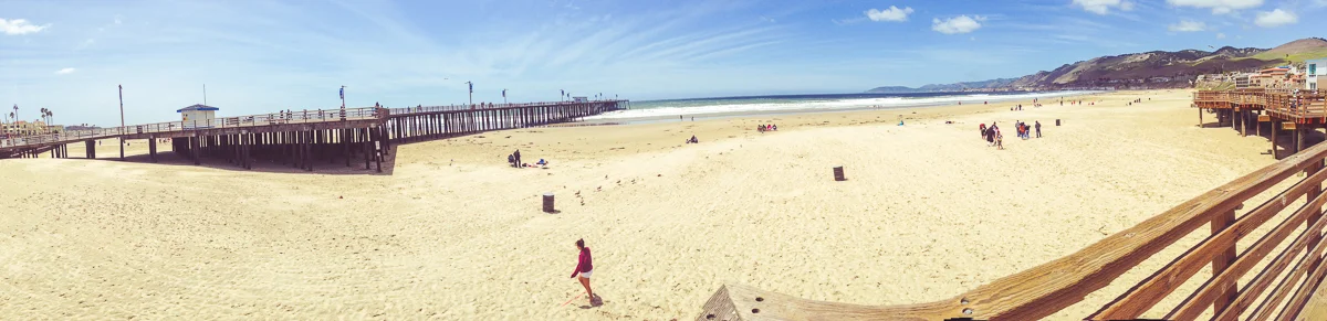
I think when we stopped at Pismo Beach, we had fooled ourselves into thinking we could relax with a "beach day"—spend a few hours lounging on the sand with some snacks, occasionally dipping our toes in the ocean. However, when we arrived we realized how dreadfully cold the ocean breeze was, turning Pismo Beach into a temporary look-around stop before rushing back to the car for warmth.
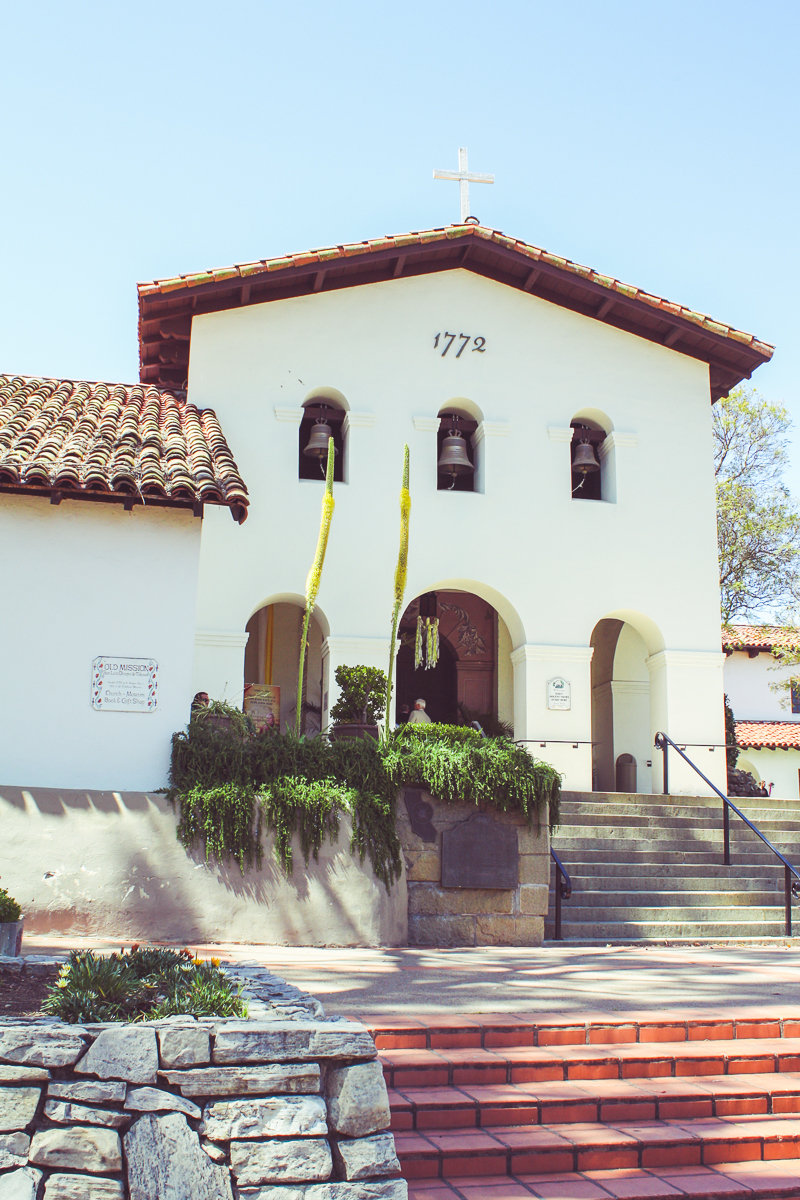
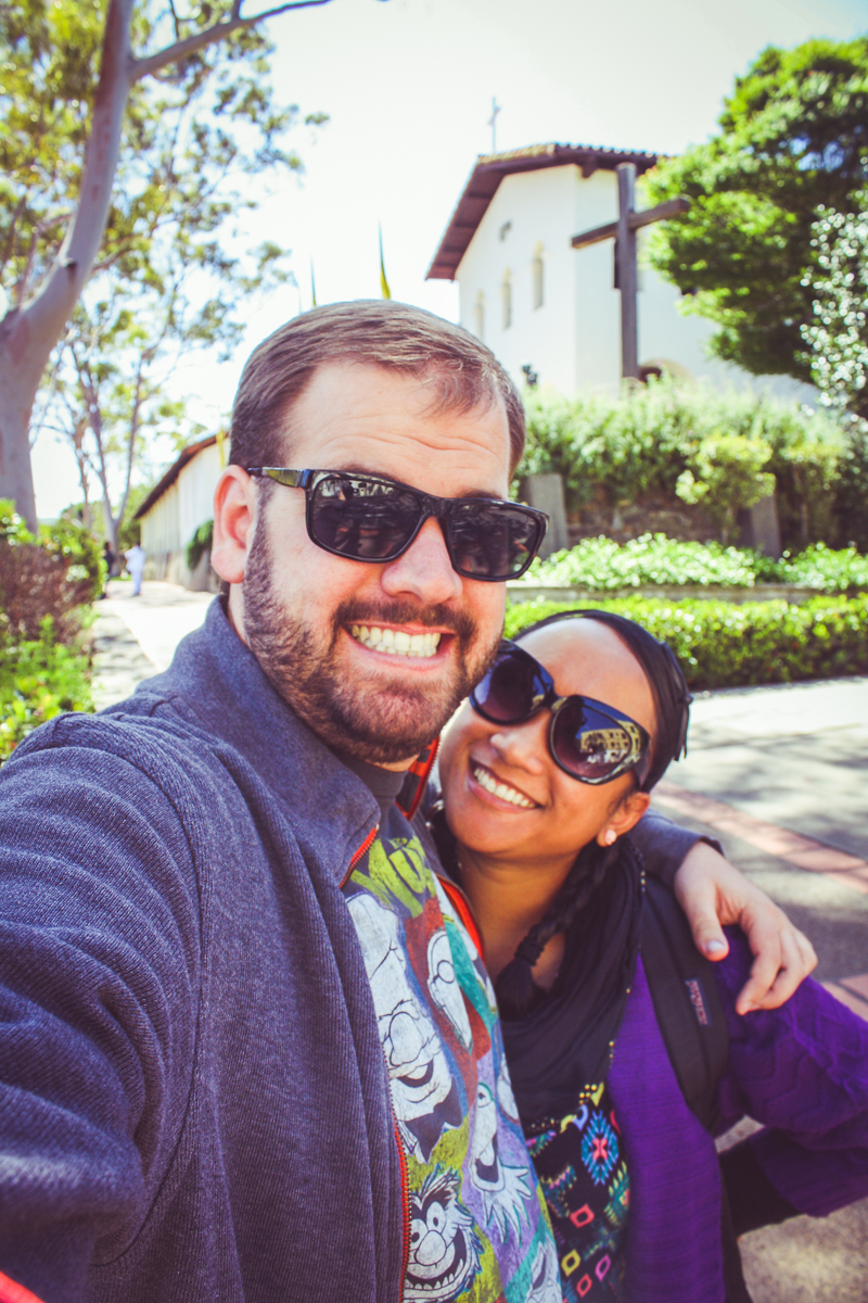
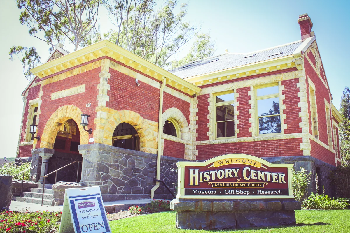
Only 12 more miles up the 101 and we were at our next stop, San Luis Obispo, or SLO. The last major town north up the coast for over 100 miles, SLO is home to such sights as the neighboring Bishop Peak, an alleyway filled with chewed gum, and of course—another mission.
San Luis Obisbo is also a college town (home to Cal Poly SLO) and it was a Saturday, so all of the college kids were out around downtown in full force. Some sort of rally just finished, so parking was scarce, restaurants had lines, and the sidewalks were busy. We checked out a history center and the mission before choosing to eat at some forgettable healthy-food place, grab some ice cream, and take another selfie with Father Serra. Then it was time to move on.
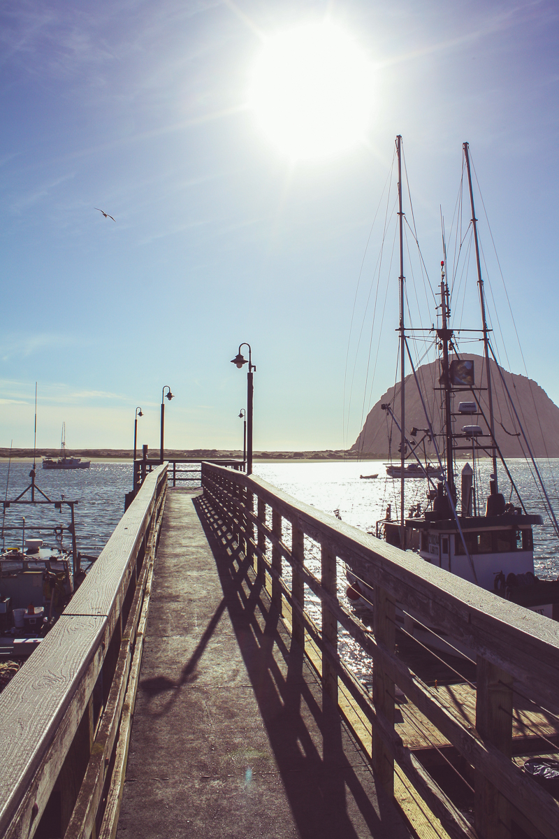
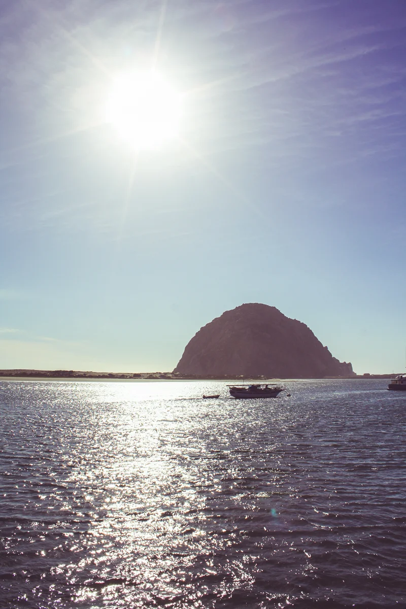
Out of San Luis Obispo, we were back on Highway 1 and towards the coast again. Starting with Bishop Peak in SLO, the path to the ocean was literally dotted with a string of volcanic peaks known as The Morros, or the Nine Sisters. These peaks (or more officially "volcanic plugs") lead the way to Morro Bay, concluding with one final 500 foot tall mass right on the ocean, called Morro Rock.
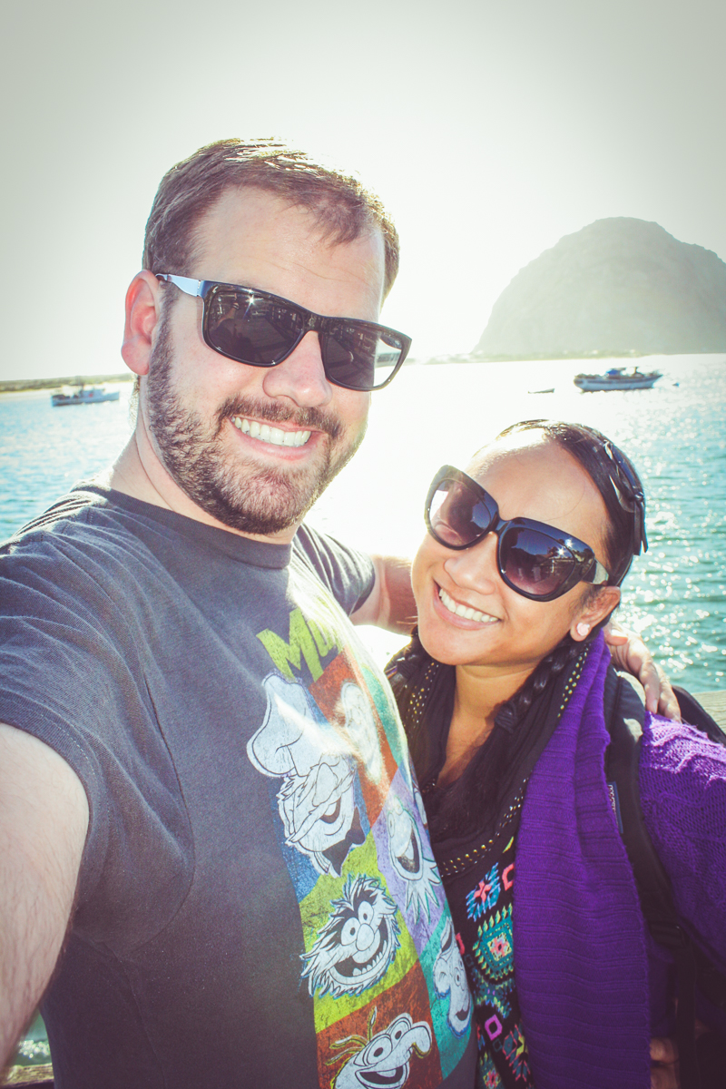
When we reached Morro Bay, we grabbed a few photos of Morro Rock and strolled along the waterfront shops, browsing through the windows. We then chose to check-in for our hotel; Morro Bay would be our "half-way" point for the trip.
Though the sun was still up, we had to rush through Morro Bay because we had plans that afternoon! Just 45 minutes north was the town of San Simeon, where we would go on a sunset tour of the famous Californian landmark, Hearst Castle (one of my first blog posts!).
It was on the way to Hearst Castle that we began to see signs for the event that would throw a wrench in our next-day's plans: The Big Sur International Marathon.
For one day, every year, an "international" running event (that incidentally never leaves California) shuts down the only road in-and-out of Big Sur, Highway 1. This closure causes "4-hour delays" on a 90-mile length of road that already takes 3 hours to traverse! And yes, this race was taking place on the very morning that we intended to drive through Big Sur.
I'm normally on-board for an inconvenient adventure. Hell, if anything, it makes for a funny story when you get back home. But a 7-hour drive would take our entire day. I saw very little fun in that. So when we awoke in Morro Bay on the morning after Hearst Castle, Cindy and I decided to throw in the towel and cut across inland to the 101 freeway. Though less adventurous, this choice saved us nearly 5 hours as we skipped up the state to the next major stop, Monterey.
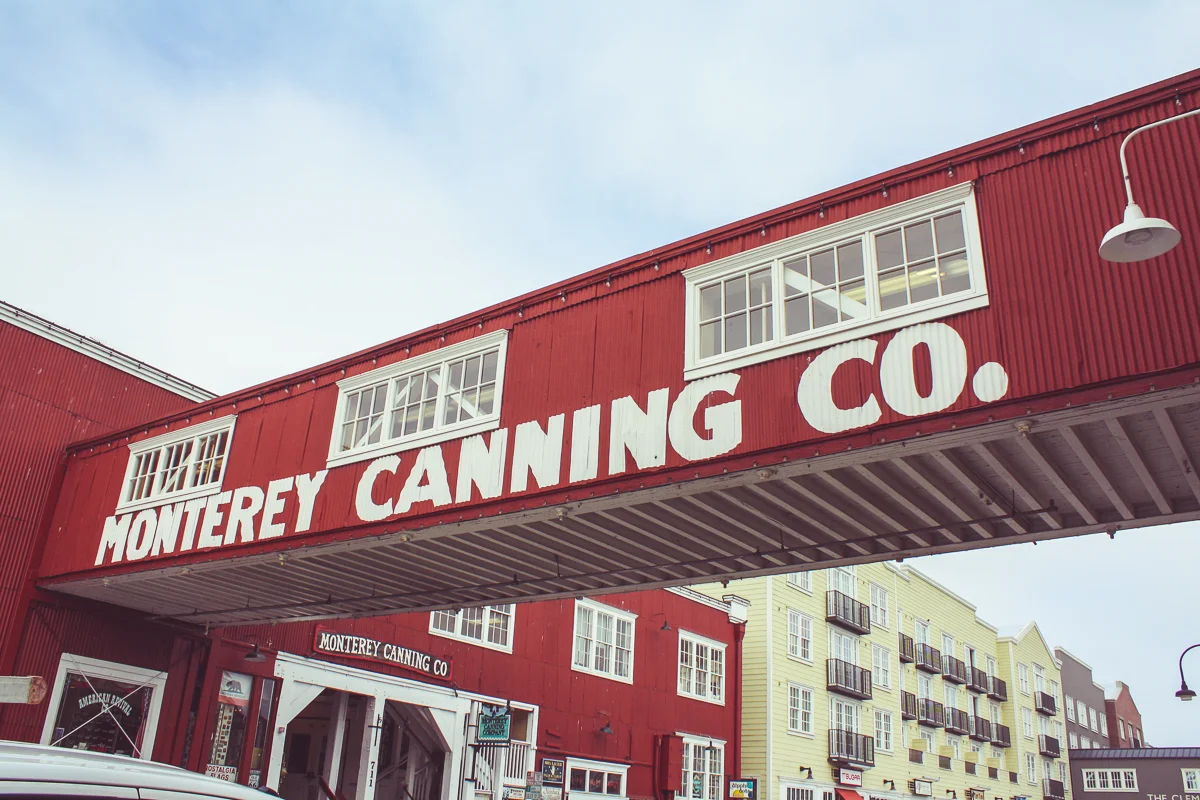
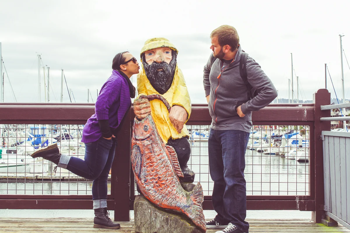
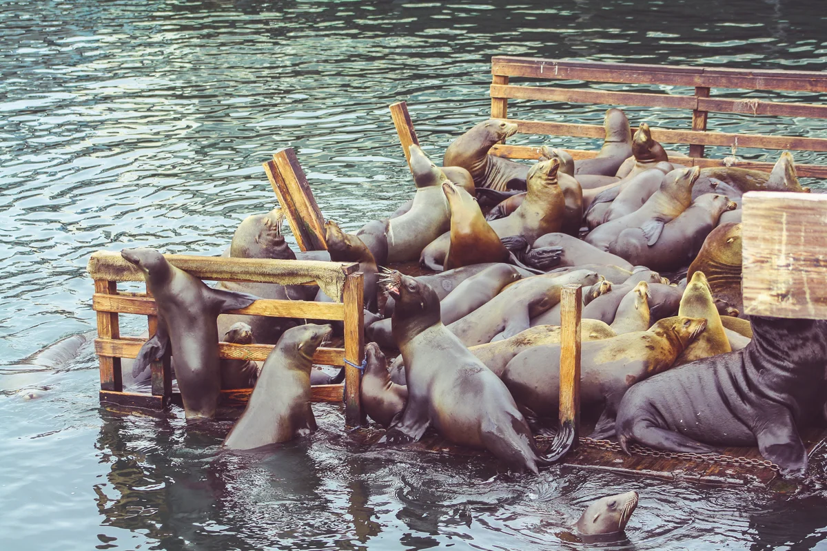
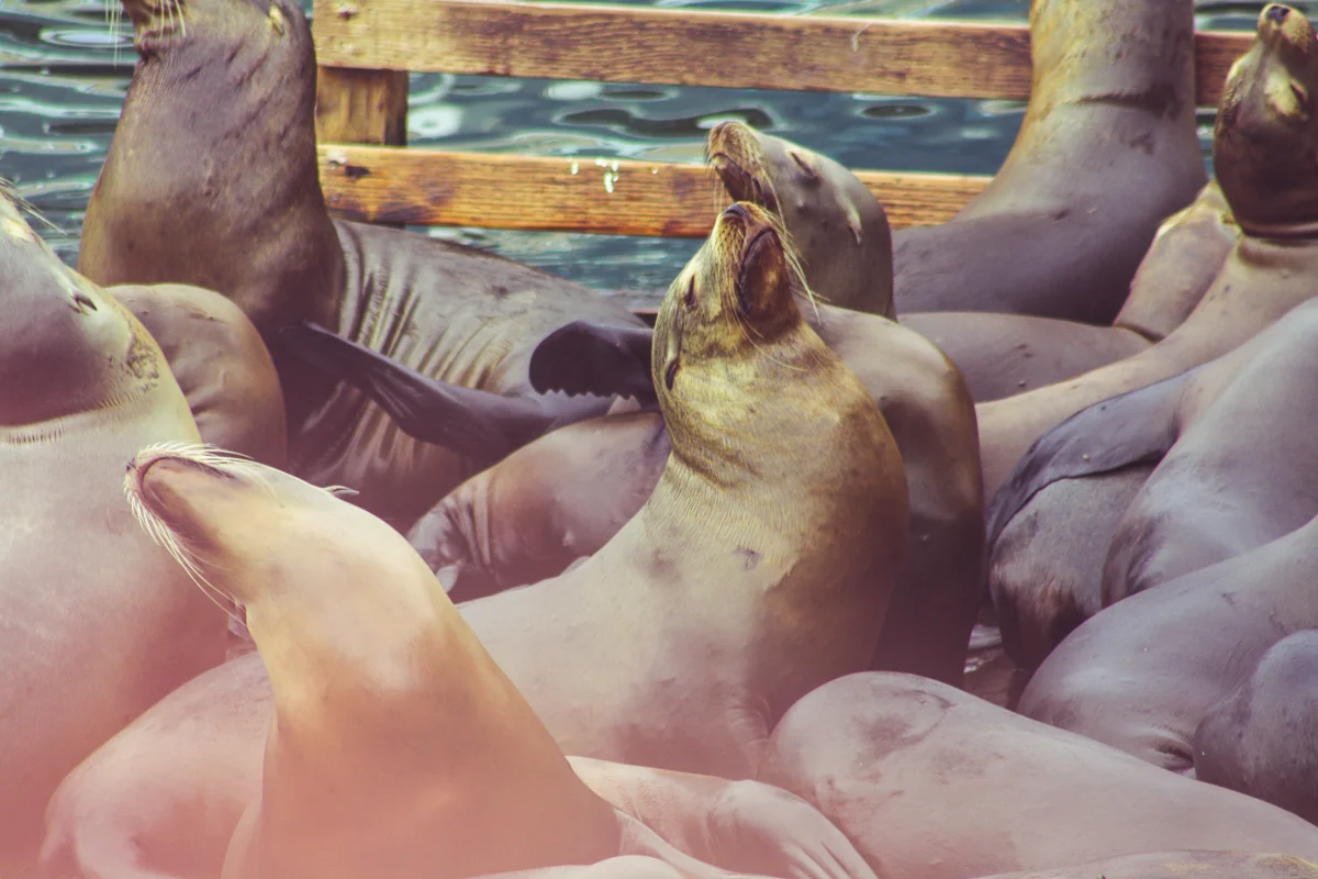
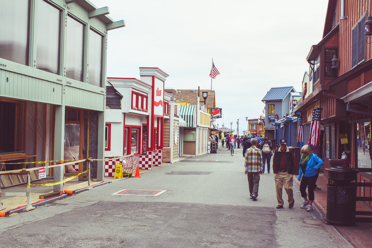
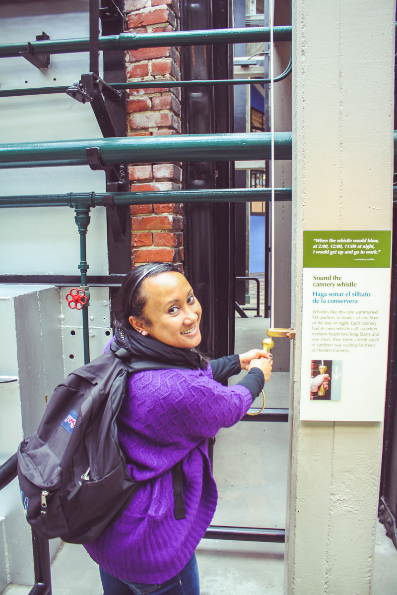
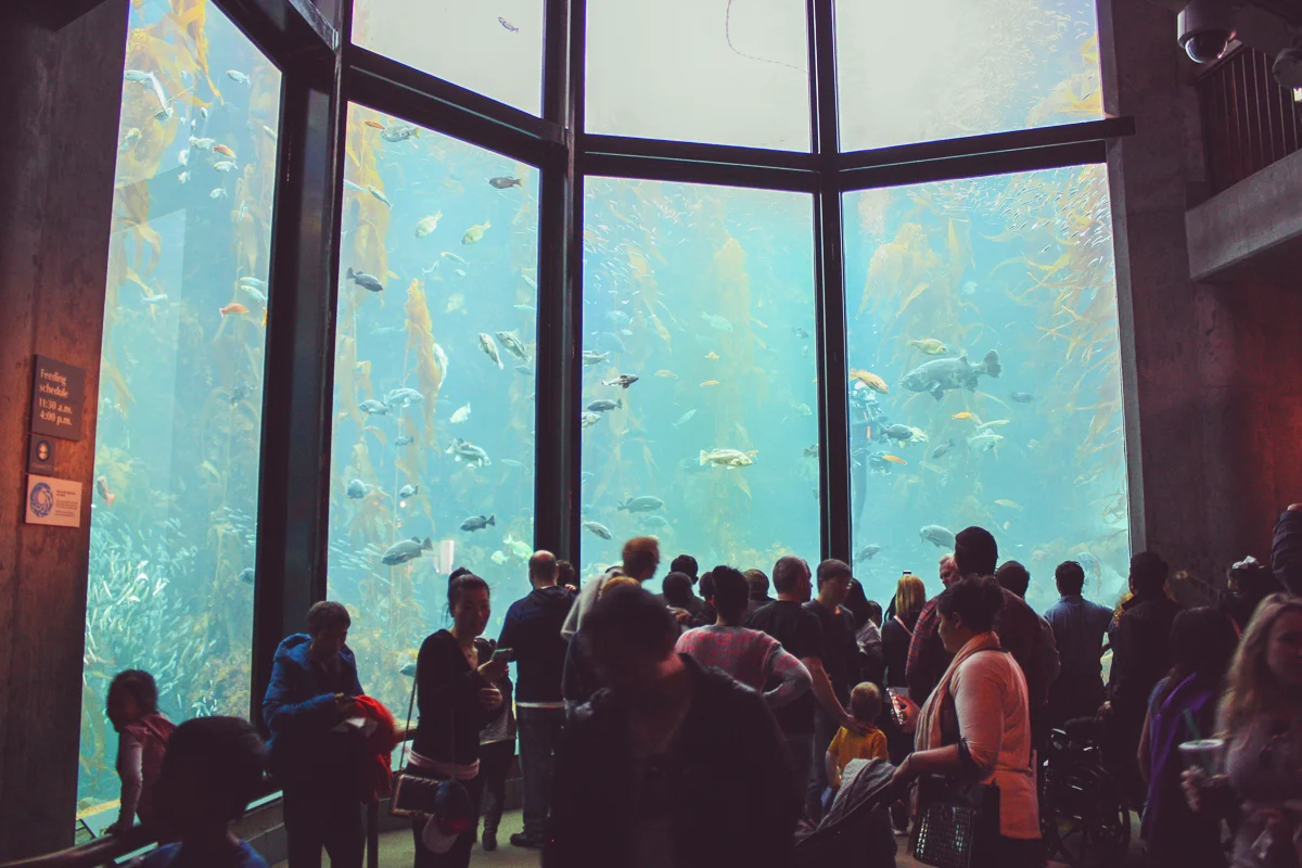
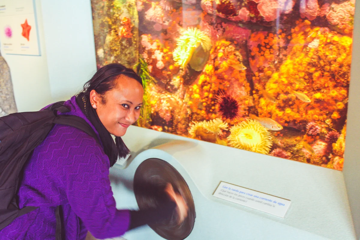
The very first capital of Alta California, today Monterey is a historic, mid-sized town. The town is famous for its Cannery Row and the Monterey Bay Aquarium (where Kirk and Spock got the humpback whales they brought back to 2286). After having crêpes on the wharf for breakfast and being entertained by the barks of sea lions interrupting each other's sleep, we were inspired to check out the aquarium for ourselves.
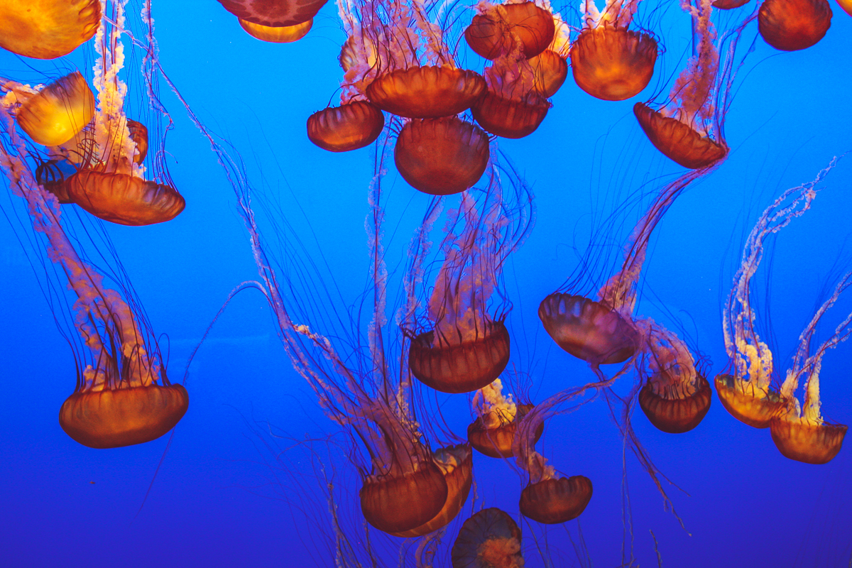
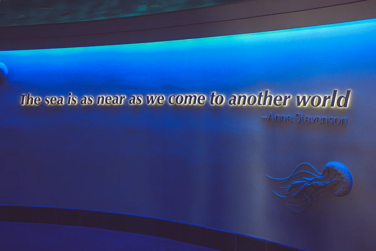
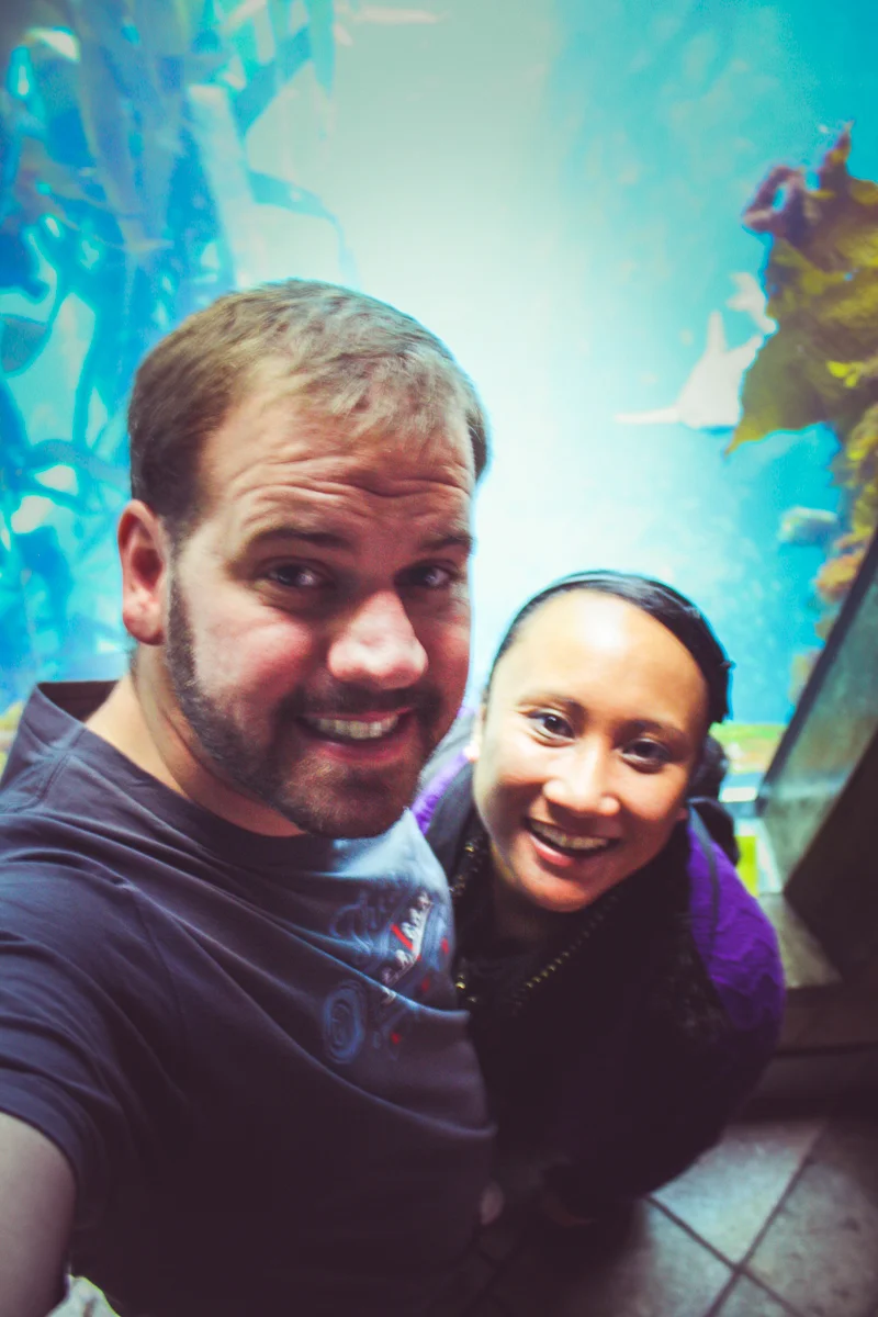
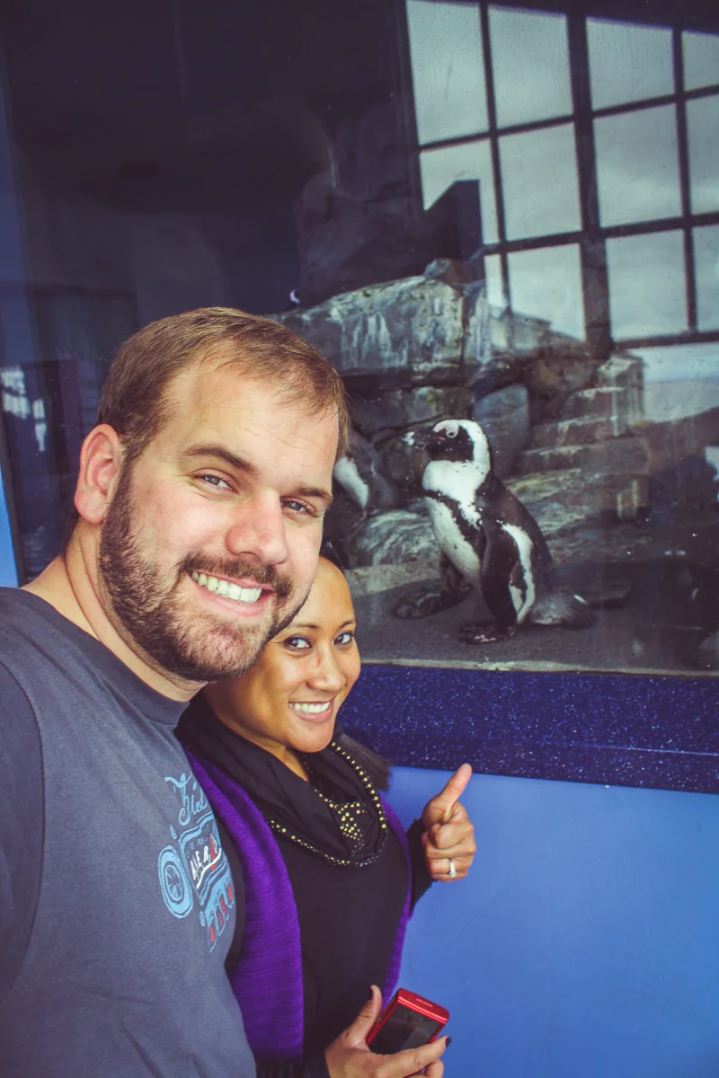
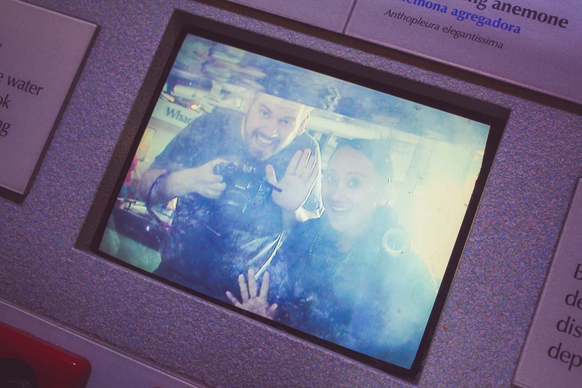
There's no doubt that the little aquarium has become an institution. Most of the exhibits were modern, well maintained, and packed to the gills with children touching all of the glass. Kid or adult, there's something so wonderfully enchanting about looking through glass at another world.
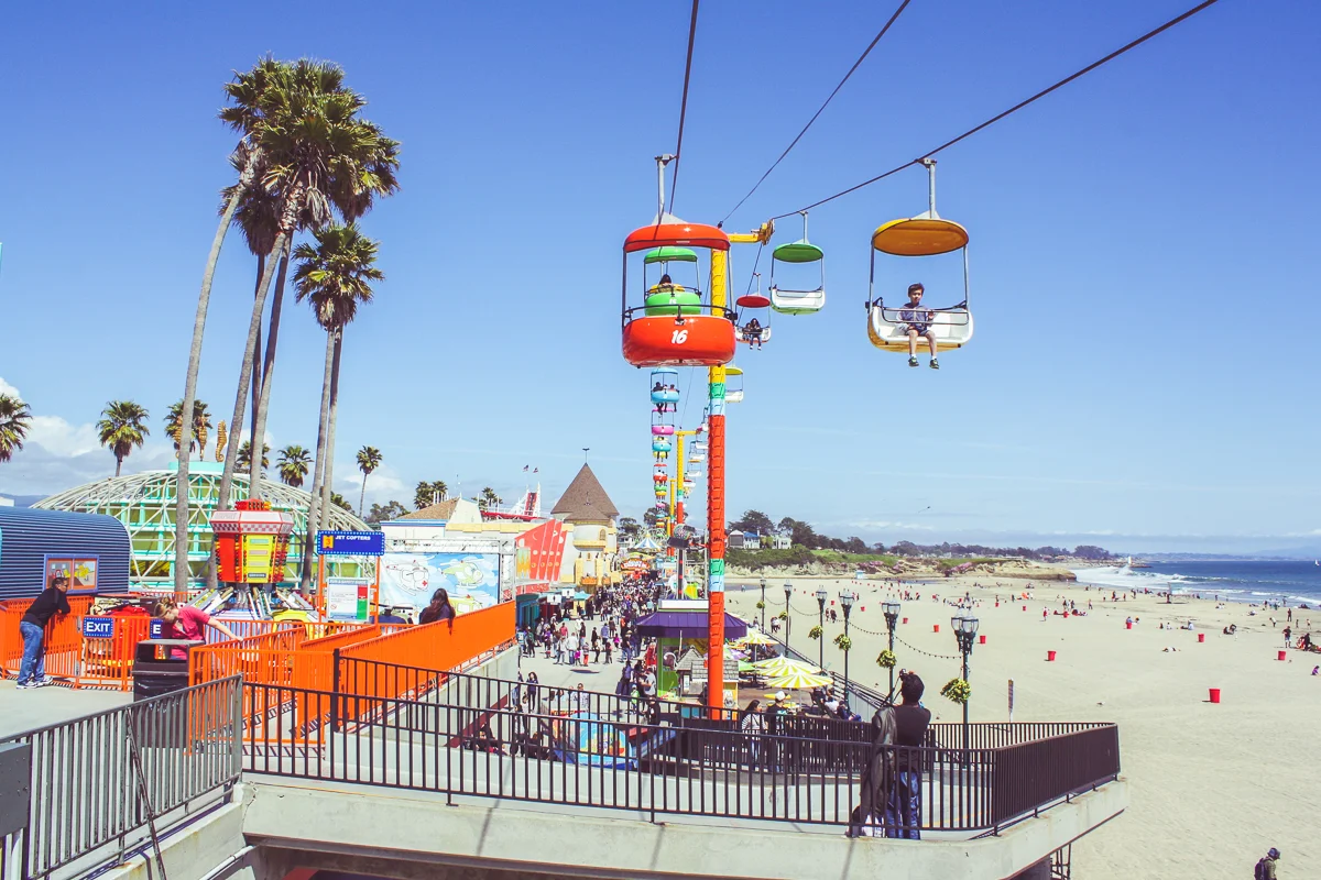
After a little over an hour in the aquarium, it was back to the road where we drove up the Monterey Bay and pulled into Santa Cruz. It was time to visit the ocean one last time on this trip at one of my favorite quirky little Californian stops, the Santa Cruz Beach Boardwalk. I know for a fact there are more, cooler things to do in Santa Cruz but I just so happen to be a nerd about these things.
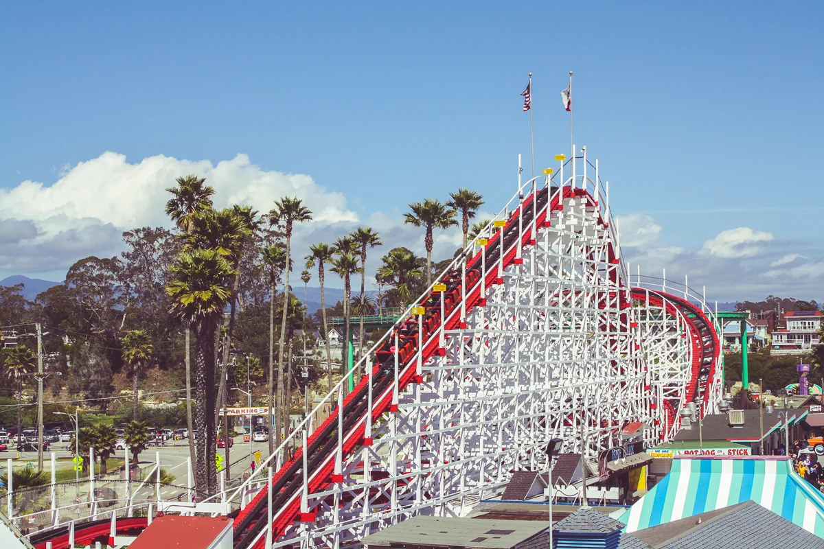
At over one hundred years old, the boardwalk is California's oldest surviving amusement park. We started our visit with some greasy fried-food and then headed to the haunted-house dark ride, the sky-buckets, and the Giant Dipper roller coaster. The Giant Dipper is over 90 years old and still one of the best wooden coasters in the state.
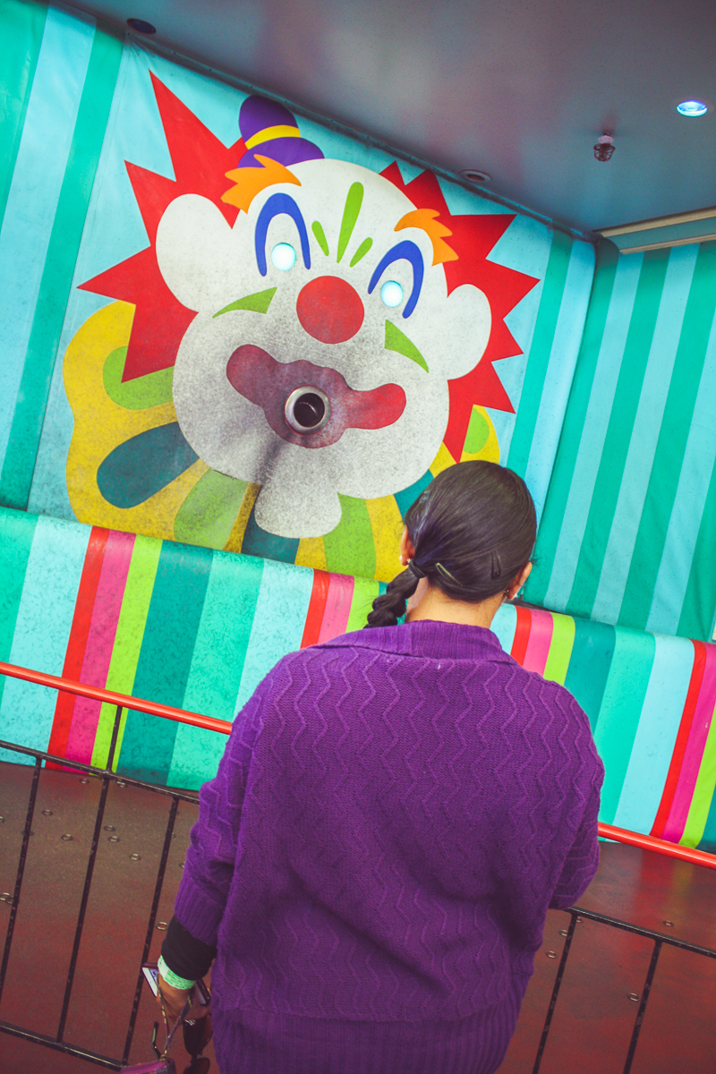
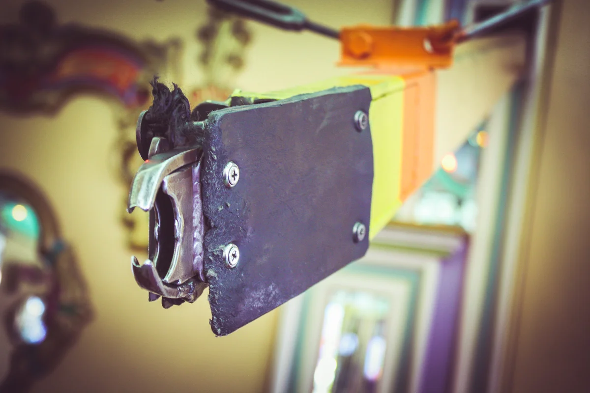
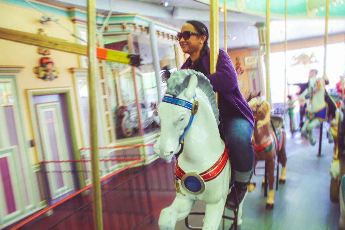
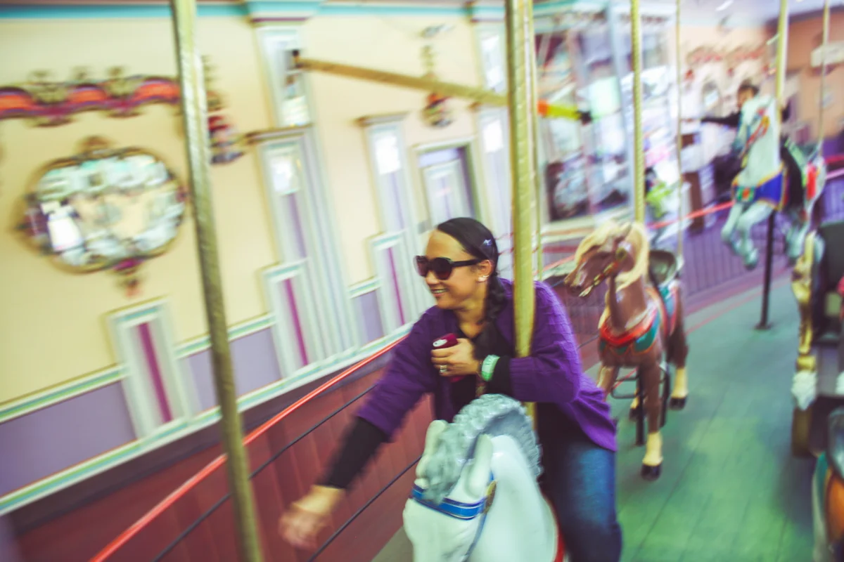
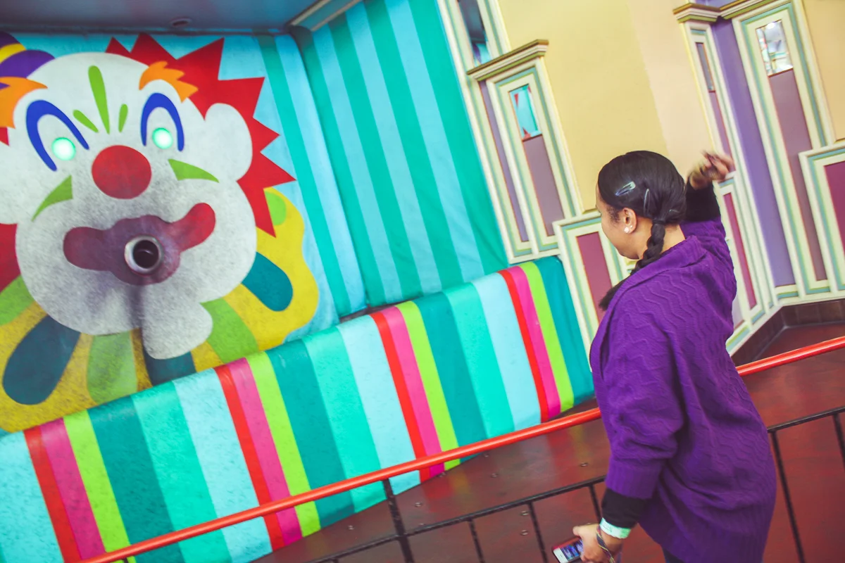
While visiting the boardwalk, we made a point to visit the Looff Carousel, one of a few remaining brass ring carrousels in the country. A brass ring carrousel is essentially a normal carrousel, where a scary-looking arm extends to the outside-row of horses and distributes metal rings during the cycle. Riders are then able to reach over and try to grab a ring. Traditionally, those who snag the elusive "brass ring" would earn a prize or a second ride. Instead, this carrousel encourages riders to return their rings by adding a second challenge—throw your rings at a scary clown face as you spin around!
This addition transforms an otherwise uneventful jaunt on the merry-go-round into a exciting and somewhat-dangerous game of skill! It amazes me that the same State that so diligently regulates amusement park attractions would even allow a brass ring carrousel to exist (California is actually home to two!).
Despite having over 4 hours to go before our flight home, I was already starting to grow nervous watching the clock in Santa Cruz. For being someone who likes to push-it when it comes to sleeping in or showing up to places on time, I tend to be quite diligent when we travel. Nonrefundable travel tickets + traffic uncertainty equals an increasingly stressed version of me. When we were finished at the boardwalk, I tried to plot in a last minute road-trip destination but ultimately resigned to just heading towards the San Jose airport.
We got there three hours before our flight was to depart. Cindy was far from impressed with me and my planning. Still, we found a bar that faced the runway, sharing a beer and some snacks to kill the time.
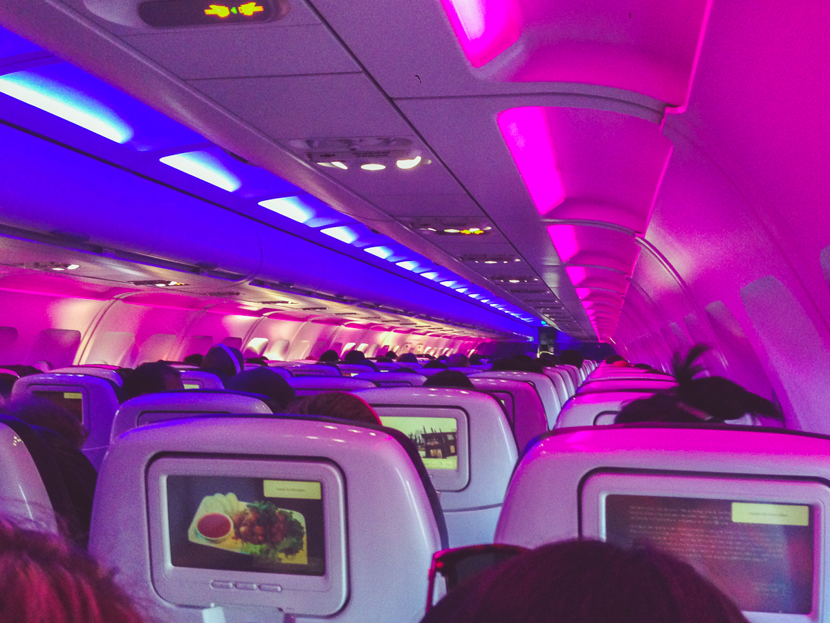
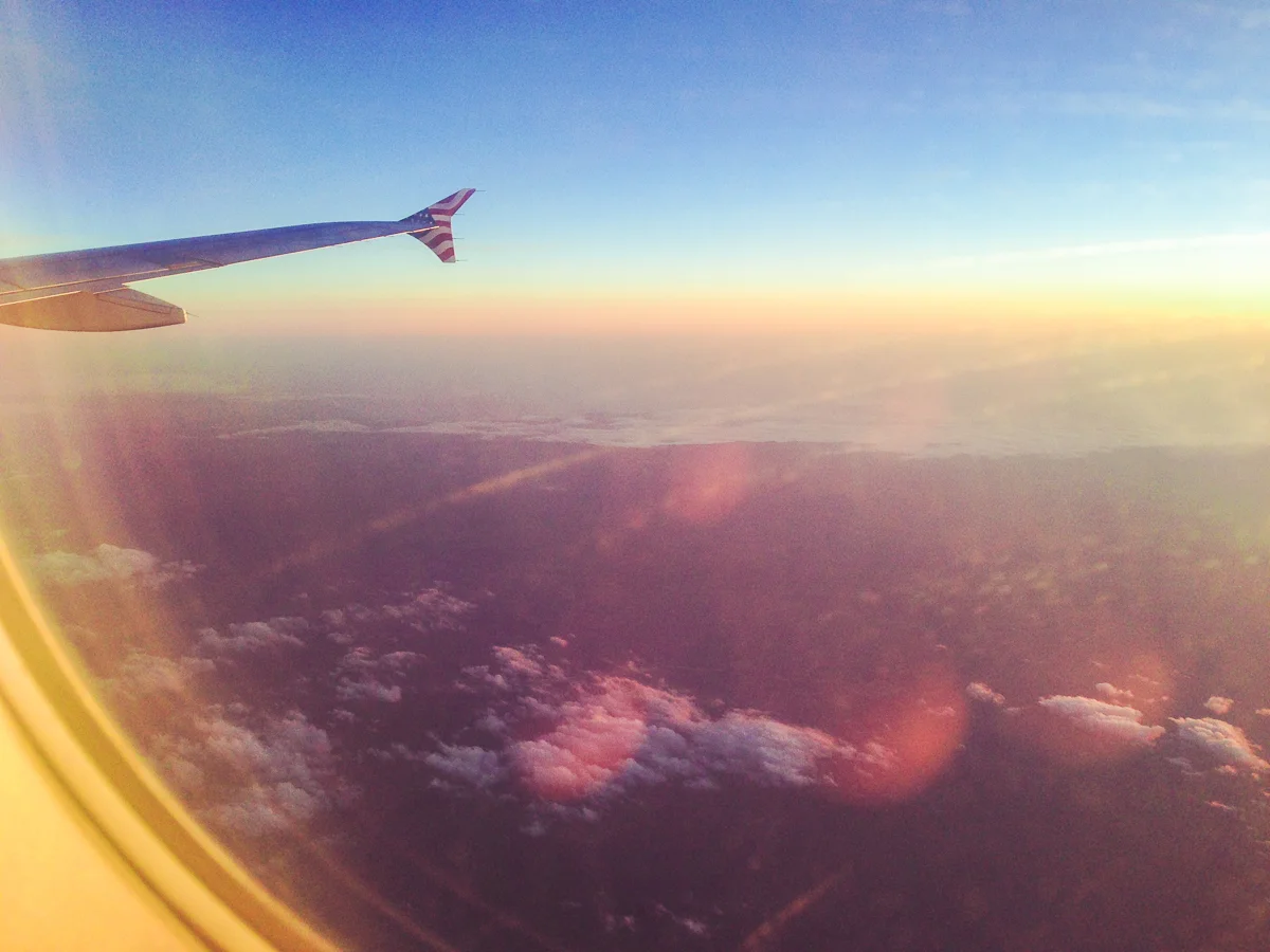
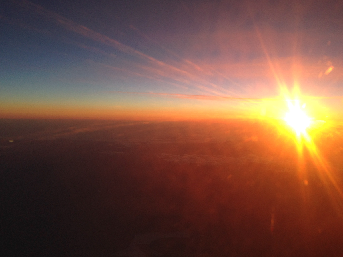
It was fun to fly back from a window seat on the right-side of the plane. Flying south, I was able to see the coast, making out all of the bays and pensisula's we winded beside on our way up the state. It was like hitting rewind on our trip, allowing Cindy and I to reflect on our short excursion in reverse and sped-up. In my blog post on Hearst Castle, I shared "the nighttime tour includes the sun setting over the Pacific Ocean and you can't beat that! Every window was a frame to the most beautiful sight on property...the lightshow the sun and atmosphere put on could not be beat." It was the same thing on our flight. Even watching from a 9-inch wide, scratched plastic window, I couldn't help but think of that tour, and everything else we did, as we watched the sun set from 35,000 ft.
We landed 30 minutes later in Los Angeles, happy with our weekend accomplishment and yet in the back of our minds, regretful that we missed Big Sur. Little did we know, just over one-year later, an unlucky circumstance gave us the lucky fortune of being able to complete the drive. More on that in the next blog post, the California Central Coast (Part II).
Until then, check out some great photos from our time driving north up the California coast!: