Visited June 2014
This June, we traveled to Oregon with two clear goals: drink beer and hike. While I’m always happy to converse about beer, today I would like to share with you a hike we set out on while in the Pacific Northwest: the trek to Tunnel Falls.
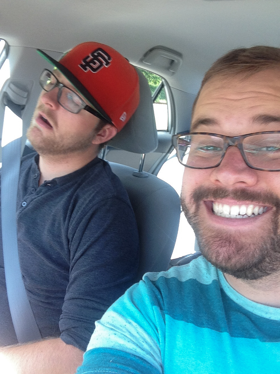
When we landed in Portland, our plan was to pick up a rental car, grab some sandwiches, do a local hike, and then drive the 3 hours to Central Oregon. Despite an infuriating 50 minute wait at the rental car agency, the plan was underway and we were eventually out of Portland city limits driving east along the Columbia River.
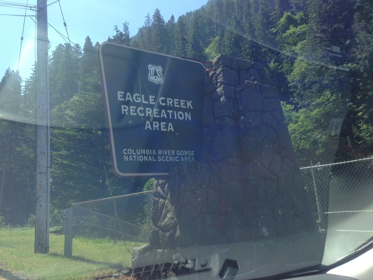
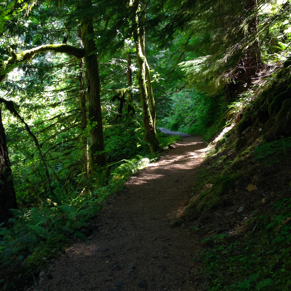
The drive down the I-84 through the Columbia River Gorge is fantastic as it provides the thrill of a great American river grinding through the forrest with the convenience of a six-lane highway. The place screamed of adventure and though signage beaconed drivers to a new trailhead every five minutes, we stayed on course for Eagle Creek. You see, I had researched the Eagle Creek Trailhead and the route options in advance via the Portland Hikers Field Guide, a detailed and handy site for those looking to hike in-and-around Portland, and was enamored by the hike to Tunnel Falls.
In hindsight, the 12-mile out-and-back gradual climb to Tunnel Falls was probably beyond our experience level for the amount of time we had given ourselves but that morning we didn’t seem to care. We were fueled by the energy we felt by flying away from Los Angeles and getting lost in nature; Just that morning we were confined to a row on a cramped airplane and now we were navigating an infinite gorge, steadily climbing up the sides of gargantuan walls. Surrounded by water, trees, mountains, and sunshine, life was fantastic.
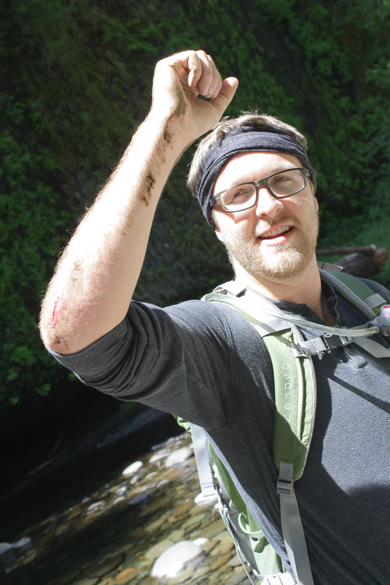
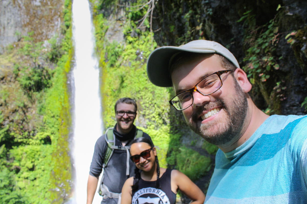
Two miles into our hike and already feeling accomplished, we stopped for some lunch and sightseeing. The three of us split an infant-sized sandwich we picked up at a grocery store deli and a large bag of Doritos—hardly the resources Lewis and Clark would have relied on but I’m sure they would have approved. After our last handfuls of chips, we surveyed Metlako Falls from a high lookout and then continued up trail, arriving at a junction which offered a short detour to Punchbowl Falls. Still full of adventurous spirit, we eased our way down the steep path and made it to the creek. Arriving at the bottom in one piece (except for TJ, who in his leagues of additional experience managed to trip and scuff himself up) we took the opportunity to relax and enjoy some views of Punchbowl Falls.

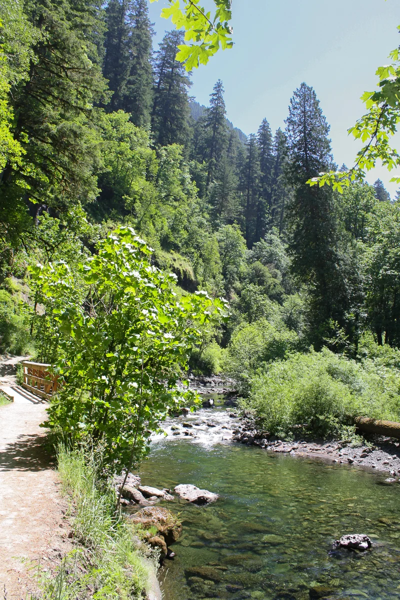
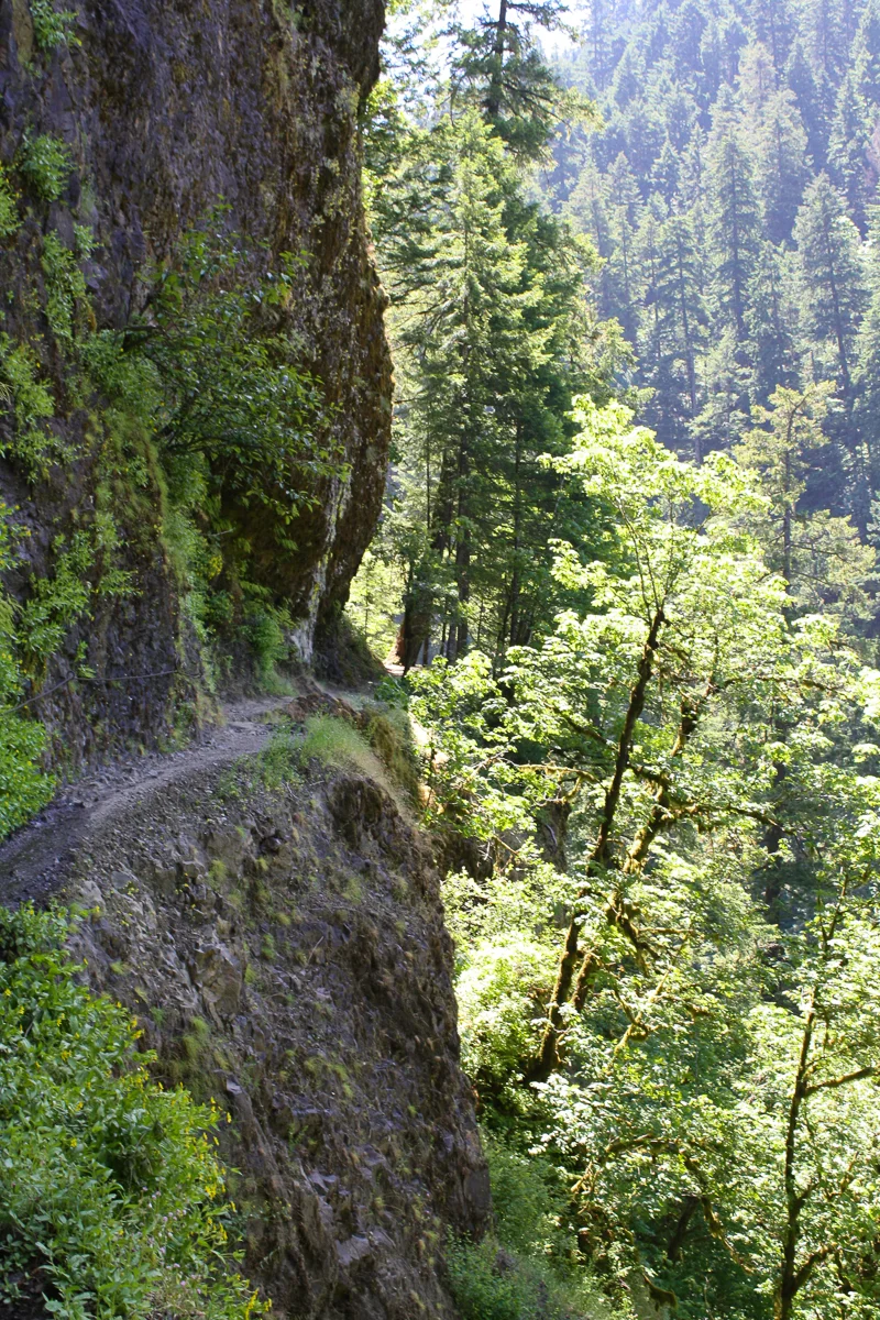
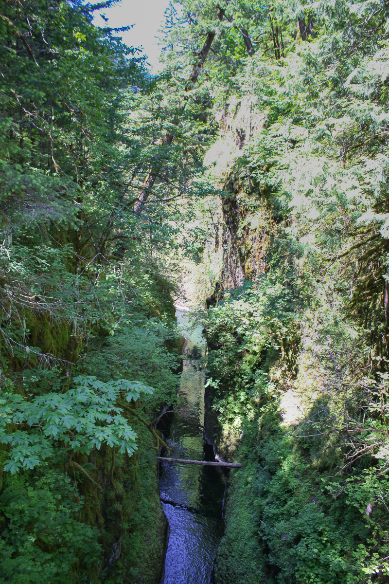
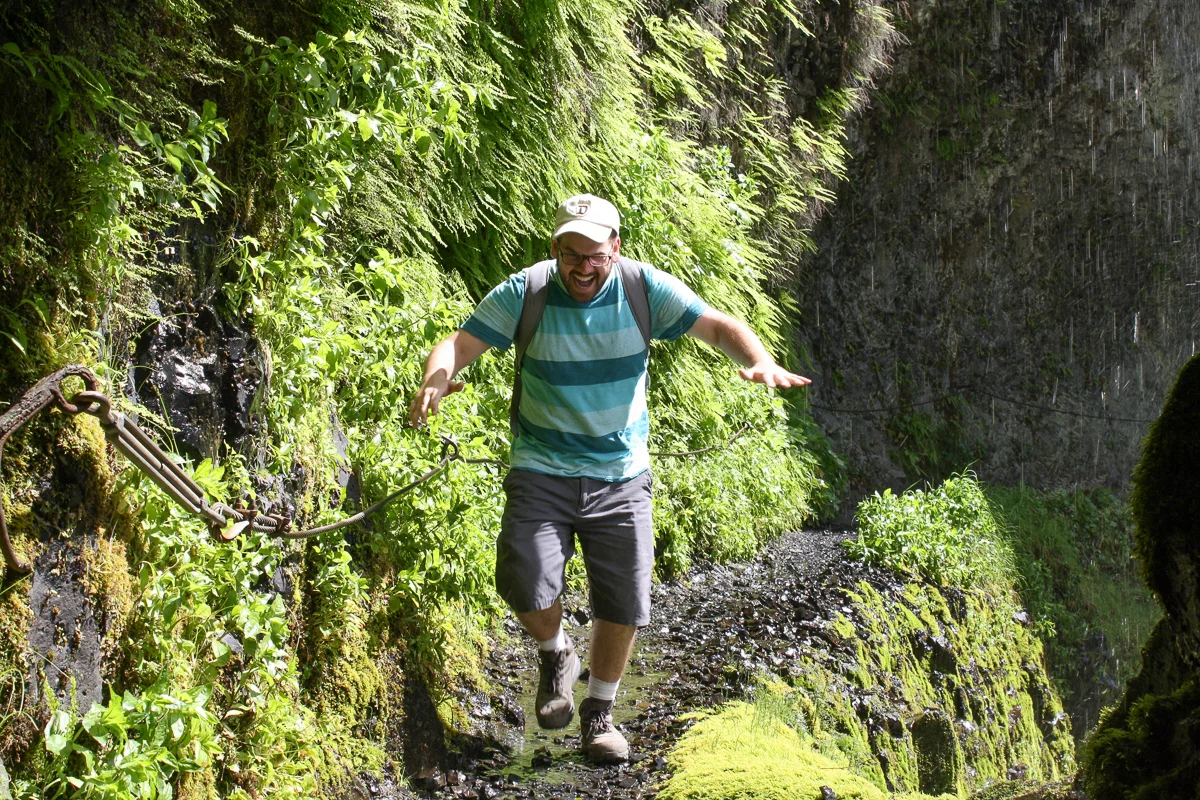
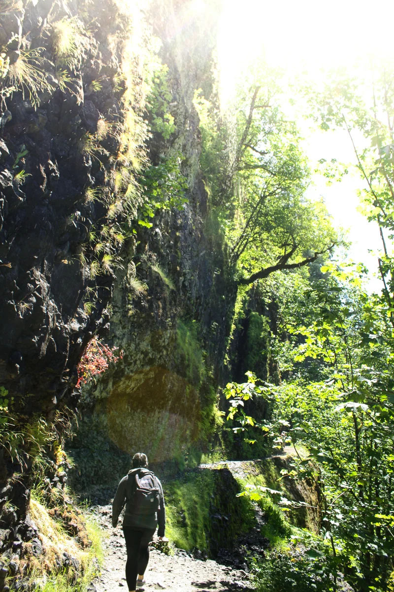
When we had finished relaxing, we were back up the side of the gorge and on our way to the final waterfall on our hike. The return from Punchbowl Falls was the steepest climb of the day and the next 1.5 miles in-and-out of side canyons was both gorgeous and ever-long. At one point, it appears the trail was blasted into the side of the canyon wall, with a single cable half-heartedly offering stability as you make your way up beside a hundred foot drop.
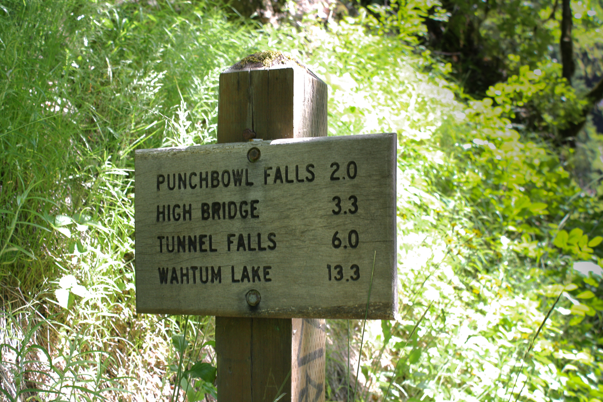
Soon after we reached the appropriately named High Bridge, a structure crossing the trail to the other side of the canyon. This milestone is both reassuring and disappointing for it is the approximate half-way point to Tunnel Falls, but on an out-and-back hike such as this, it technically becomes the quarter-way point for the day. I was beginning to realize the extent of our journey. Regardless, TJ and Cindy were excited and wished to continue, so I agreed to press on.
We began to grow tired. I know this is the case because I stopped taking photos! The trail appeared to grow rockier and it became more important to watch our steps. By mile 5, passersby in the other direction could see the tiredness in our faces and assured us that Tunnel Falls were “just around the corner”. Several corners later, we finally arrived…

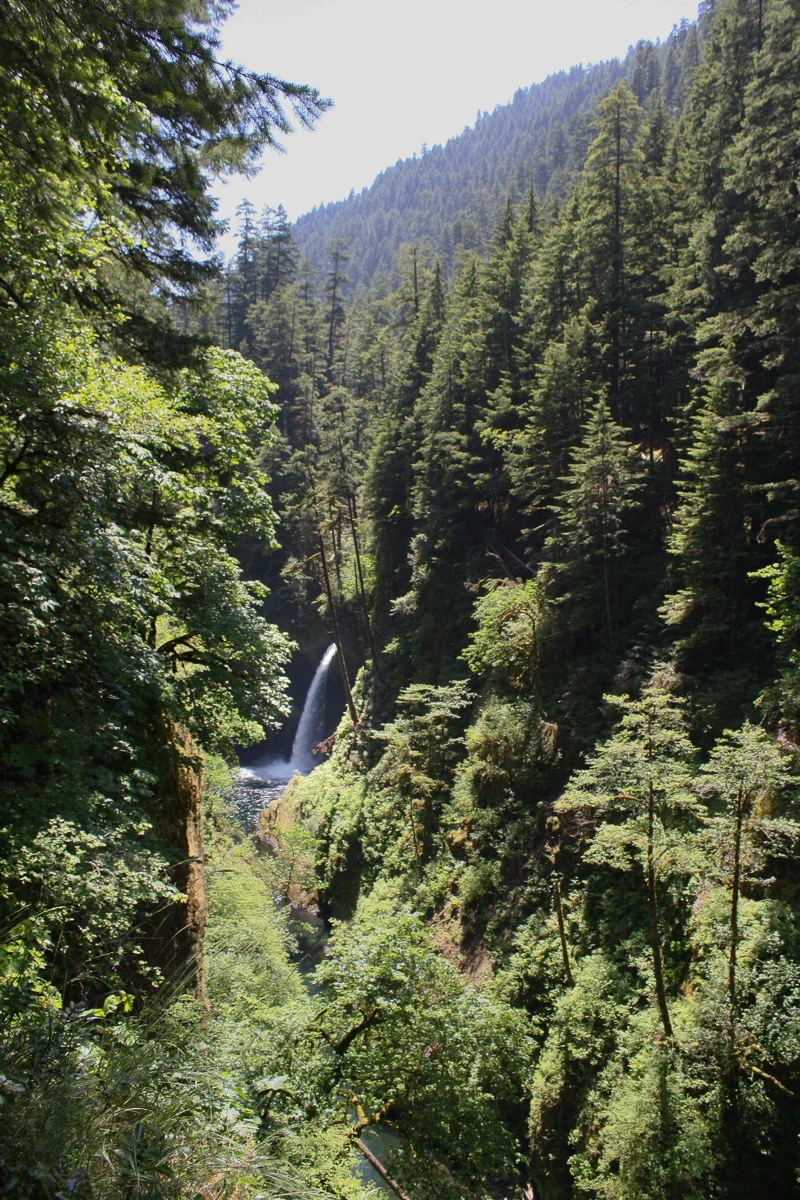
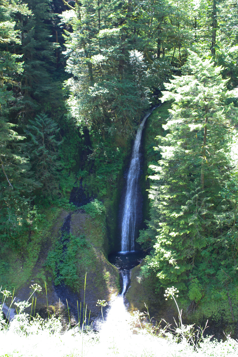
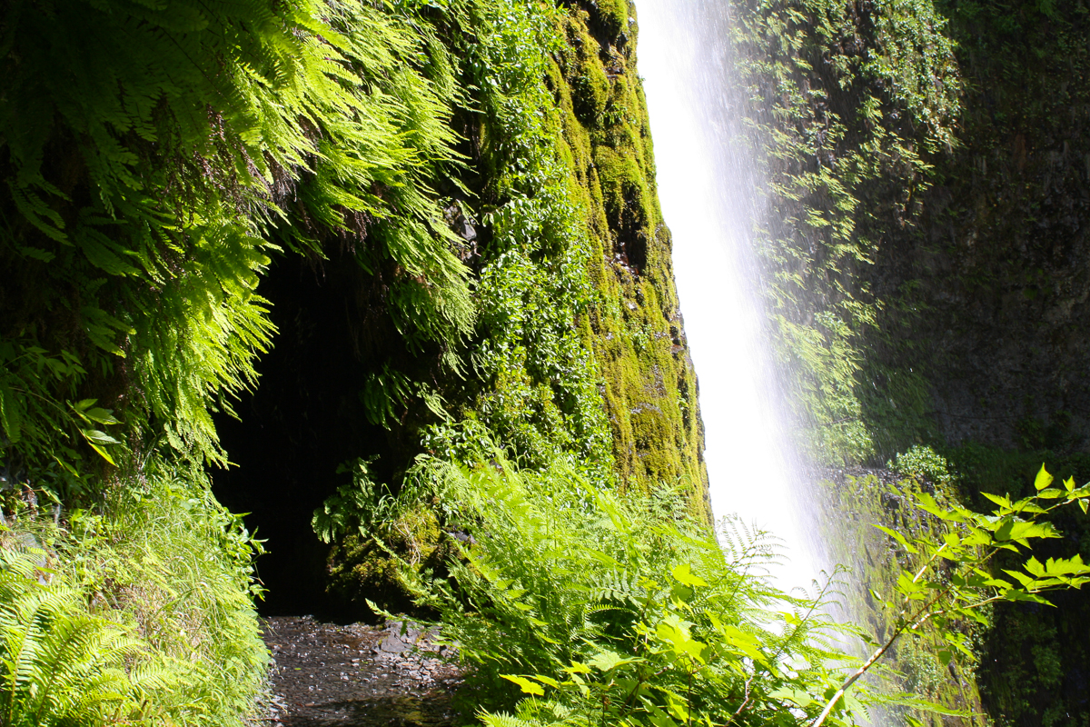
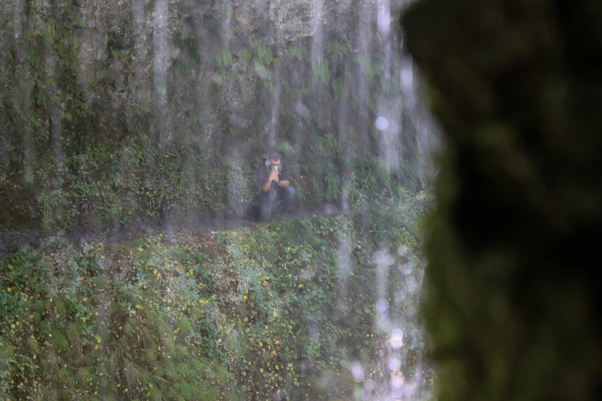
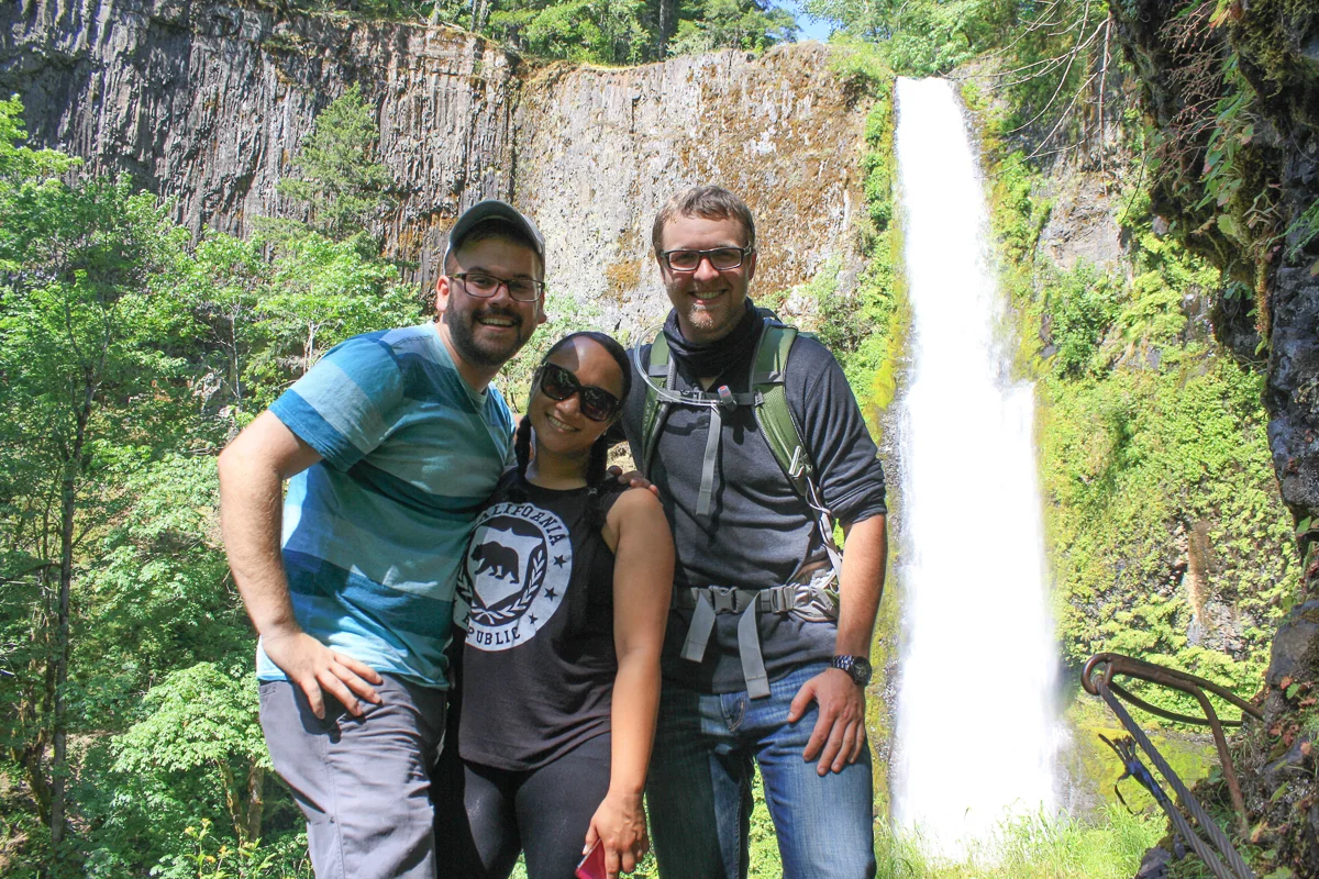
Tunnel Falls is a beautiful 160-foot waterfall recessed into a ravine on the eastern fork of Eagle Creek. The trail skirts along the edge of this ravine, blasted into the rock 60 feet above the base of the falls and uniquely travels behind the waterfall in a short, man-made tunnel. We were reminded that water, gravity, and time are tremendously powerful forces (but so is dynamite). It was a breathtaking sight and erased all of our aches and pains—and we had it all to ourselves!
We all split up as we soaked it in, taking our photos, and selfies, and panos, and instas, and all that is to be expected of the tourists-masquerading-as-hikers that we are. Passing beyond the tunnel felt like walking through a strange, indoor drizzle as the rocky walls were completely saturated and dripping. On the other side, we stood and marveled at the waterfall and enjoyed the setting for rest that it provided. I could have stayed there all day but we were approaching 3:30 pm and were 6 miles from the car that would drive us 3 hours to our beds for the night. It was time to return.
The return trip was as expected: everything we just did, but backwards. The downhill trail appears deceptively easier in that gravity is on your side, helping you write the check that your knees end up paying for. Additionally, though the sun was descending, its rays found us easily and the trail felt hotter than ever. A testament to my inexperience, I ran out of water around mile 8 and would bro-down with TJ, sharing the straw from his water-pouch to keep me hydrated. By mile 10, we began to slow down out of sheer exhaustion and by mile 11 we were reduced to a stumbling stroll. TJ continued at his hiker’s pace, roughly a half-mile ahead of us and I slowed down to accompany Cindy through the final stretches (though there was no talking during these last 2 miles). We had been walking for 5+ hours and the sun had dropped below the western ridge, dipping us in glorious shade.
Soon thereafter, we stumbled into the parking lot. We were proud of ourselves but on a schedule and starving. We stopped at the first McDonalds we saw in the next town of Hood River. I distinctly remember TJ seeing the banner advertising the limited engagement of a triple-cheeseburger and blurting out, “I need that in my mouth.”
I was 160 minutes from my destination and exhausted, but with good company and cheeseburgers in tow, I set out through the Cascades as happy as could be, glad I took the time to see Tunnel Falls.

Mt. Hood in the distance as we drove down Highway 35 towards Central Oregon.
For more photos of our hike up Eagle Creek, click on the photos below.